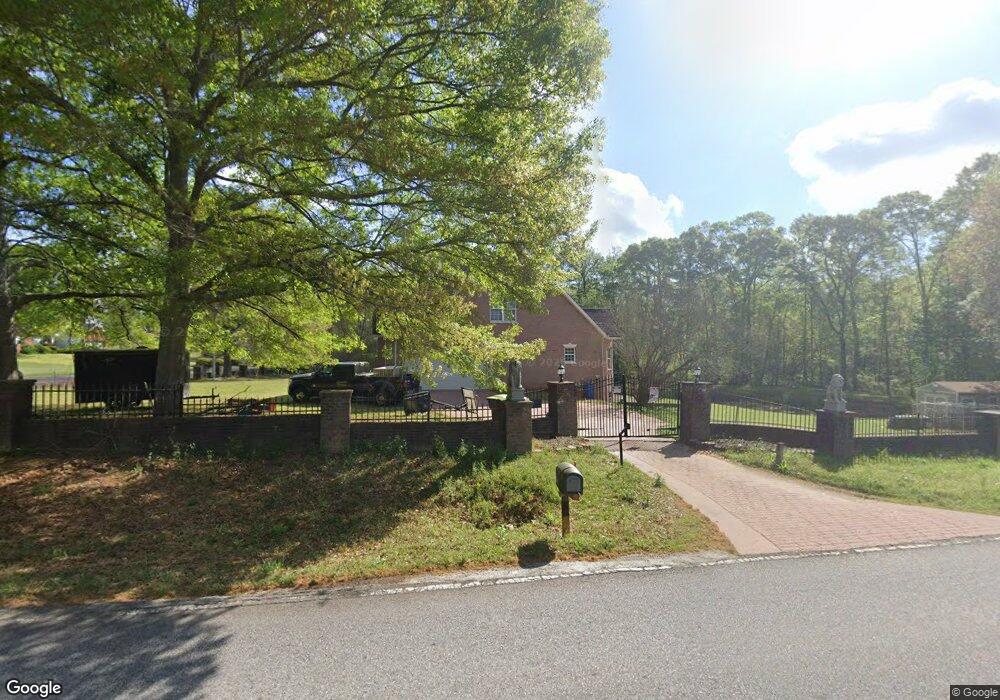
520 Flat Rock Rd Stockbridge, GA 30281
Estimated Value: $376,000 - $513,000
3
Beds
4
Baths
2,536
Sq Ft
$180/Sq Ft
Est. Value
About This Home
This home is located at 520 Flat Rock Rd, Stockbridge, GA 30281 and is currently estimated at $455,969, approximately $179 per square foot. 520 Flat Rock Rd is a home located in Henry County with nearby schools including Woodland Elementary School, Woodland Middle School, and Woodland High School.
Ownership History
Date
Name
Owned For
Owner Type
Purchase Details
Closed on
May 19, 2022
Sold by
Deloatch Sulene J
Bought by
Deloatch John L
Current Estimated Value
Purchase Details
Closed on
Jun 28, 2005
Sold by
Mertkolu Kasim
Bought by
Deloatch Sulene and Deloatch John
Home Financials for this Owner
Home Financials are based on the most recent Mortgage that was taken out on this home.
Original Mortgage
$304,000
Interest Rate
6.35%
Mortgage Type
New Conventional
Create a Home Valuation Report for This Property
The Home Valuation Report is an in-depth analysis detailing your home's value as well as a comparison with similar homes in the area
Home Values in the Area
Average Home Value in this Area
Purchase History
| Date | Buyer | Sale Price | Title Company |
|---|---|---|---|
| Deloatch John L | -- | -- | |
| Deloatch Sulene | $308,000 | -- |
Source: Public Records
Mortgage History
| Date | Status | Borrower | Loan Amount |
|---|---|---|---|
| Previous Owner | Deloatch Sulene | $304,000 |
Source: Public Records
Tax History Compared to Growth
Tax History
| Year | Tax Paid | Tax Assessment Tax Assessment Total Assessment is a certain percentage of the fair market value that is determined by local assessors to be the total taxable value of land and additions on the property. | Land | Improvement |
|---|---|---|---|---|
| 2025 | $2,263 | $217,280 | $7,320 | $209,960 |
| 2024 | $2,263 | $197,080 | $6,760 | $190,320 |
| 2023 | $1,057 | $197,960 | $6,560 | $191,400 |
| 2022 | $2,129 | $172,640 | $6,160 | $166,480 |
| 2021 | $1,317 | $136,920 | $5,520 | $131,400 |
| 2020 | $1,505 | $128,560 | $5,280 | $123,280 |
| 2019 | $1,416 | $121,520 | $5,120 | $116,400 |
| 2018 | $1,490 | $118,880 | $4,840 | $114,040 |
| 2016 | $3,824 | $105,720 | $4,440 | $101,280 |
| 2015 | $3,860 | $103,880 | $4,520 | $99,360 |
| 2014 | $3,828 | $102,000 | $4,520 | $97,480 |
Source: Public Records
Map
Nearby Homes
- 0 W Hemphill Rd Unit 10295429
- 0 W Hemphill Rd Unit 10536232
- 242 Summerford Place
- 2581 Union Church Rd SW
- 278 Sound Cir
- 286 Sound Cir
- 0 N Highway 42 Unit 10627424
- 0 Highway 155 N Unit 7649185
- 120 Montgomery Dr
- 104 Montgomery Dr
- 544 Highway 138 E
- 159 Brookwood Estates Trail
- 116 Way Point Dr
- 405 Tatum Terrace
- 551 Hood Rd
- 468 Highway 138 E
- 180 Cowan Dr
- 125 Johnsons Walk Unit 2
- 10 Shari Ct
- 364 Sound Cir
- 0 W Hemphill Rd Unit 8426950
- 0 W Hemphill Rd Unit 8420927
- 0 W Hemphill Rd Unit 8379873
- 0 W Hemphill Rd Unit 8340582
- 0 W Hemphill Rd Unit 91 7191800
- 0 W Hemphill Rd
- 0 W Hemphill Rd Unit 20121772
- 0 W Hemphill Rd Unit 7580530
- 0 W Hemphill Rd Unit 9052954
- 0 W Hemphill Rd Unit 8180640
- 525 Flat Rock Rd
- 35 W Hemphill Rd
- 543 Flat Rock Rd
- 557 Flat Rock Rd
- 45 W Hemphill Rd
- 547 Flat Rock Rd
- 373 Faulkner St
- 358 Faulkner St
- 374 Faulkner St
- 398 Faulkner St