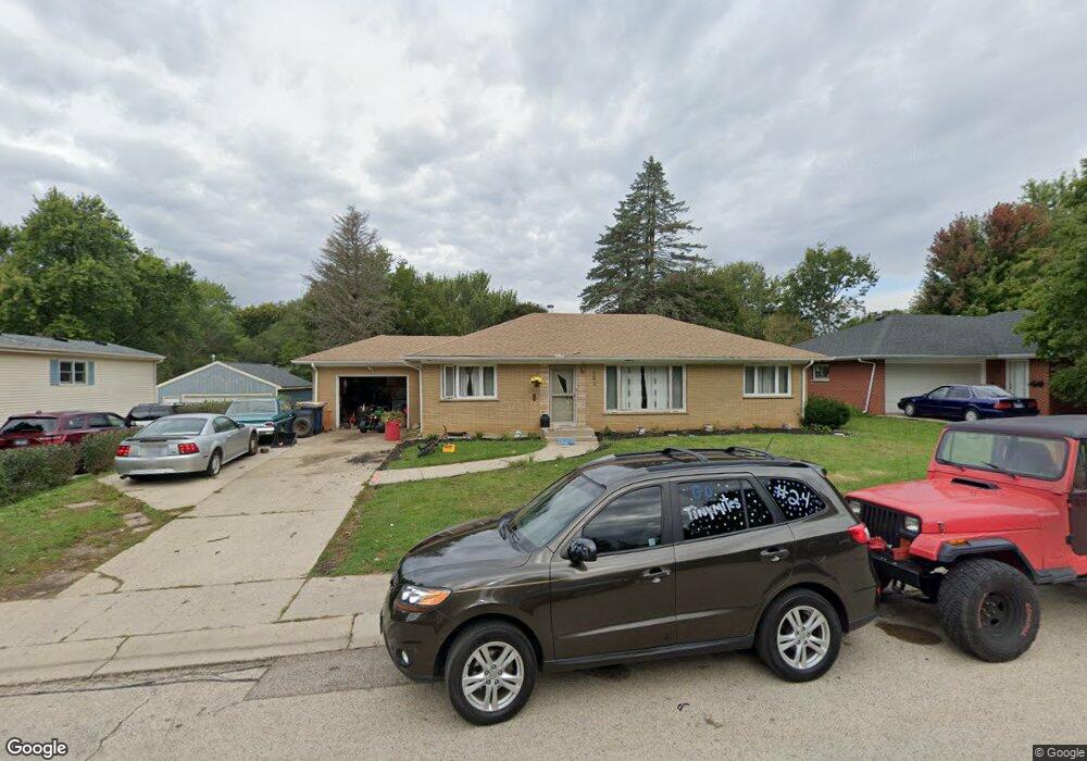
520 Summit St Algonquin, IL 60102
Estimated Value: $302,000 - $353,000
3
Beds
2
Baths
1,288
Sq Ft
$255/Sq Ft
Est. Value
About This Home
This home is located at 520 Summit St, Algonquin, IL 60102 and is currently estimated at $328,142, approximately $254 per square foot. 520 Summit St is a home located in McHenry County with nearby schools including Eastview Elementary School, Algonquin Middle School, and Dundee-Crown High School.
Ownership History
Date
Name
Owned For
Owner Type
Purchase Details
Closed on
Jun 25, 2010
Sold by
Griseta Jeff
Bought by
Beck Colleen F
Current Estimated Value
Purchase Details
Closed on
Aug 2, 2005
Sold by
Waspi Michael and Waspi Michael D
Bought by
Griseta Jeff
Home Financials for this Owner
Home Financials are based on the most recent Mortgage that was taken out on this home.
Original Mortgage
$152,000
Interest Rate
7.85%
Mortgage Type
Unknown
Purchase Details
Closed on
Jun 19, 1995
Sold by
Middlekauff Glenn P and Middlekauff Darleen L
Bought by
Waspi Michael D
Home Financials for this Owner
Home Financials are based on the most recent Mortgage that was taken out on this home.
Original Mortgage
$129,600
Interest Rate
8.27%
Create a Home Valuation Report for This Property
The Home Valuation Report is an in-depth analysis detailing your home's value as well as a comparison with similar homes in the area
Purchase History
| Date | Buyer | Sale Price | Title Company |
|---|---|---|---|
| Beck Colleen F | $168,000 | Lakeshore Title Agency | |
| Griseta Jeff | $190,000 | First American Title | |
| Waspi Michael D | $136,500 | Universal Title Services Inc |
Source: Public Records
Mortgage History
| Date | Status | Borrower | Loan Amount |
|---|---|---|---|
| Previous Owner | Griseta Jeff | $152,000 | |
| Previous Owner | Waspi Michael D | $129,600 |
Source: Public Records
Tax History
| Year | Tax Paid | Tax Assessment Tax Assessment Total Assessment is a certain percentage of the fair market value that is determined by local assessors to be the total taxable value of land and additions on the property. | Land | Improvement |
|---|---|---|---|---|
| 2024 | $6,542 | $83,628 | $13,137 | $70,491 |
| 2023 | $6,261 | $74,794 | $11,749 | $63,045 |
| 2022 | $5,316 | $61,983 | $13,837 | $48,146 |
| 2021 | $5,124 | $57,745 | $12,891 | $44,854 |
| 2020 | $5,002 | $55,701 | $12,435 | $43,266 |
| 2019 | $4,895 | $53,313 | $11,902 | $41,411 |
| 2018 | $4,694 | $49,250 | $10,995 | $38,255 |
| 2017 | $4,620 | $46,397 | $10,358 | $36,039 |
| 2016 | $4,576 | $43,516 | $9,715 | $33,801 |
| 2013 | -- | $52,665 | $9,063 | $43,602 |
Source: Public Records
Map
Nearby Homes
- 21 Division St
- 407 La Fox River Dr
- 719 Webster St
- 600 E Algonquin Rd
- 0 River Dr N Unit MRD12473279
- 0 Natoma Trail
- Lot #3-5 Hayes Rd
- 1200 Hillside View
- lot 25 Wabican Trail
- 1188 E Algonquin Rd
- 953 Old Oak Cir
- 1420 Greenridge Ave
- 615 Harper Dr
- 1031 Timberwood Ln
- Lot 4 b Ryan Pkwy
- 1770 E Algonquin Rd
- 308 Rustic Ln
- 730 Chestnut Ct
- 720 Ash St
- 1730 Tanglewood Dr
Your Personal Tour Guide
Ask me questions while you tour the home.