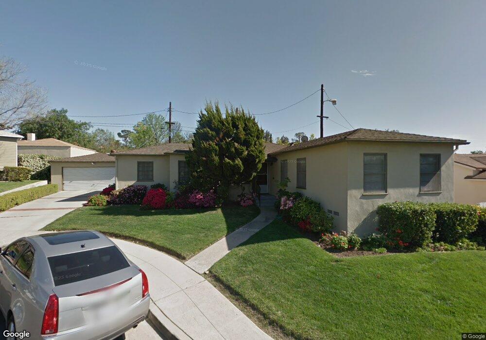
5210 Upton Ct Los Angeles, CA 90041
Eagle Rock NeighborhoodEstimated Value: $1,393,000 - $1,474,000
2
Beds
2
Baths
1,492
Sq Ft
$968/Sq Ft
Est. Value
About This Home
This home is located at 5210 Upton Ct, Los Angeles, CA 90041 and is currently estimated at $1,444,651, approximately $968 per square foot. 5210 Upton Ct is a home located in Los Angeles County with nearby schools including Dahlia Heights Elementary, Eagle Rock Junior/Senior High School, and PUC CALS Middle School and Early College High.
Ownership History
Date
Name
Owned For
Owner Type
Purchase Details
Closed on
Apr 27, 2018
Sold by
Messerly Kathleen A
Bought by
Mcmillan Benjamin and Mcmillan Juliarina Minetree Guill
Current Estimated Value
Home Financials for this Owner
Home Financials are based on the most recent Mortgage that was taken out on this home.
Original Mortgage
$679,650
Outstanding Balance
$585,740
Interest Rate
4.44%
Mortgage Type
New Conventional
Estimated Equity
$858,911
Create a Home Valuation Report for This Property
The Home Valuation Report is an in-depth analysis detailing your home's value as well as a comparison with similar homes in the area
Home Values in the Area
Average Home Value in this Area
Purchase History
| Date | Buyer | Sale Price | Title Company |
|---|---|---|---|
| Mcmillan Benjamin | $986,000 | Old Republic Title Co |
Source: Public Records
Mortgage History
| Date | Status | Borrower | Loan Amount |
|---|---|---|---|
| Open | Mcmillan Benjamin | $679,650 |
Source: Public Records
Tax History
| Year | Tax Paid | Tax Assessment Tax Assessment Total Assessment is a certain percentage of the fair market value that is determined by local assessors to be the total taxable value of land and additions on the property. | Land | Improvement |
|---|---|---|---|---|
| 2025 | $13,457 | $1,121,893 | $879,653 | $242,240 |
| 2024 | $13,457 | $1,099,896 | $862,405 | $237,491 |
| 2023 | $13,195 | $1,078,331 | $845,496 | $232,835 |
| 2022 | $12,578 | $1,057,188 | $828,918 | $228,270 |
| 2021 | $12,425 | $1,036,460 | $812,665 | $223,795 |
| 2019 | $12,052 | $1,005,720 | $788,562 | $217,158 |
| 2018 | $1,525 | $120,079 | $46,577 | $73,502 |
| 2016 | $1,439 | $115,418 | $44,769 | $70,649 |
| 2015 | $1,418 | $113,685 | $44,097 | $69,588 |
| 2014 | $1,431 | $111,459 | $43,234 | $68,225 |
Source: Public Records
Map
Nearby Homes
- 5152 Hartwick St
- 1179 Kipling Ave
- 1300 Blue Hill Rd
- 1225 Colorado Blvd
- 5414 Hartwick St
- 5231 Loleta Ave
- 1063 Colorado Blvd
- 1328 Linda Rosa Ave
- 4917 Neola Place
- 0 Maemurray Dr
- 1577 Waldran Ave
- 5431 Townsend Ave
- 4879 Hartwick St
- 4843 Genevieve Ave
- 1506 Linda Rosa Ave
- 4764 Wiota St
- 4824 Brayton Place
- 4818 Brayton Place
- 1334 1336 Yosemite Dr
- 1567 Fair Park Ave
- 5216 Upton Ct
- 1307 Upton Place
- 5200 Upton Ct
- 1317 Eagle Vista Dr
- 1307 Eagle Vista Dr
- 1323 Eagle Vista Dr
- 5221 Upton Ct
- 5211 Upton Ct
- 5217 Upton Ct
- 1321 Upton Place
- 1306 Hill Dr
- 1316 Hill Dr
- 1300 Hill Dr
- 1318 Hill Dr
- 1327 Upton Place
- 1310 Upton Place
- 1312 Upton Place
- 1324 Hill Dr
- 1337 Eagle Vista Dr
- 1347 Upton Place
Your Personal Tour Guide
Ask me questions while you tour the home.