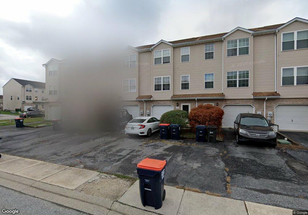
522 Sally Ln Middletown, DE 19709
Estimated Value: $277,000 - $291,494
3
Beds
3
Baths
1,296
Sq Ft
$220/Sq Ft
Est. Value
About This Home
This home is located at 522 Sally Ln, Middletown, DE 19709 and is currently estimated at $285,124, approximately $220 per square foot. 522 Sally Ln is a home located in New Castle County with nearby schools including Bunker Hill Elementary School, Everett Meredith Middle School, and Appoquinimink High School.
Ownership History
Date
Name
Owned For
Owner Type
Purchase Details
Closed on
Apr 28, 2005
Sold by
Lombardi Joseph L and Lombardi Rose Maria
Bought by
Boland William C
Current Estimated Value
Home Financials for this Owner
Home Financials are based on the most recent Mortgage that was taken out on this home.
Original Mortgage
$162,800
Outstanding Balance
$85,810
Interest Rate
6.01%
Mortgage Type
Fannie Mae Freddie Mac
Estimated Equity
$199,314
Purchase Details
Closed on
Dec 29, 2003
Sold by
Bleakley Todd R
Bought by
Lombardi Joseph L and Lombardi Rose Maria
Home Financials for this Owner
Home Financials are based on the most recent Mortgage that was taken out on this home.
Original Mortgage
$107,120
Interest Rate
4%
Mortgage Type
Purchase Money Mortgage
Create a Home Valuation Report for This Property
The Home Valuation Report is an in-depth analysis detailing your home's value as well as a comparison with similar homes in the area
Home Values in the Area
Average Home Value in this Area
Purchase History
| Date | Buyer | Sale Price | Title Company |
|---|---|---|---|
| Boland William C | $167,900 | -- | |
| Lombardi Joseph L | $133,900 | -- |
Source: Public Records
Mortgage History
| Date | Status | Borrower | Loan Amount |
|---|---|---|---|
| Open | Boland William C | $162,800 | |
| Previous Owner | Lombardi Joseph L | $107,120 |
Source: Public Records
Tax History Compared to Growth
Tax History
| Year | Tax Paid | Tax Assessment Tax Assessment Total Assessment is a certain percentage of the fair market value that is determined by local assessors to be the total taxable value of land and additions on the property. | Land | Improvement |
|---|---|---|---|---|
| 2024 | $1,691 | $45,900 | $3,300 | $42,600 |
| 2023 | $138 | $45,900 | $3,300 | $42,600 |
| 2022 | $1,411 | $45,900 | $3,300 | $42,600 |
| 2021 | $1,380 | $45,900 | $3,300 | $42,600 |
| 2020 | $1,364 | $45,900 | $3,300 | $42,600 |
| 2019 | $1,402 | $45,900 | $3,300 | $42,600 |
| 2018 | $1,210 | $45,900 | $3,300 | $42,600 |
| 2017 | $1,165 | $45,900 | $3,300 | $42,600 |
| 2016 | $1,046 | $45,900 | $3,300 | $42,600 |
| 2015 | $1,136 | $45,900 | $3,300 | $42,600 |
| 2014 | $138 | $45,900 | $3,300 | $42,600 |
Source: Public Records
Map
Nearby Homes
- 131 Rosie Dr
- 367 E Harvest Ln
- 715 Dairy Dr
- 306 E Harvest Ln
- 1023 Bunker Hill Rd
- 832 Woodline Dr
- 237 Trellis Ln
- 402 Topiary Ln
- 102 Springmill Dr
- 580 Whispering Trail
- 574 Whispering Trail
- 577 Whispering Trail
- 14 W Lake St
- 47 Spring Arbor Dr
- 47 Franklin Dr
- 56 Springmill Dr
- 51 Springmill Dr
- 335 Marldale Dr
- 20 W Main St
- 6 Kimberly Dr