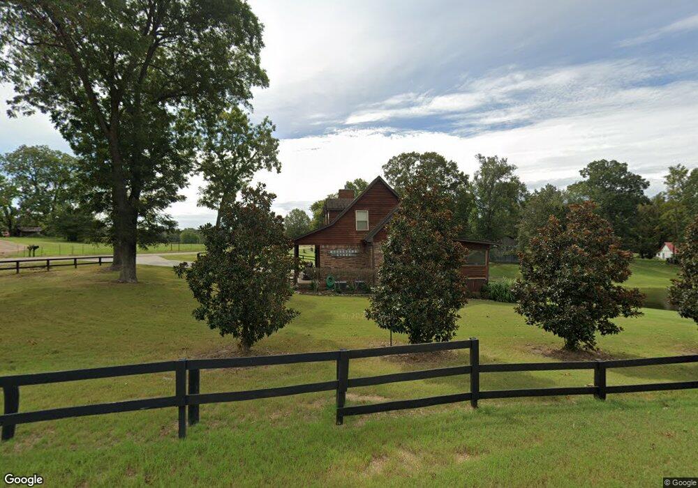
5225 Fogg Rd S Hernando, MS 38632
Estimated Value: $296,789 - $346,000
3
Beds
--
Bath
2,070
Sq Ft
$150/Sq Ft
Est. Value
About This Home
This home is located at 5225 Fogg Rd S, Hernando, MS 38632 and is currently estimated at $311,447, approximately $150 per square foot. 5225 Fogg Rd S is a home located in DeSoto County with nearby schools including Oak Grove Central Elementary School, Hernando Elementary School, and Hernando Hills Elementary.
Ownership History
Date
Name
Owned For
Owner Type
Purchase Details
Closed on
Nov 21, 2019
Sold by
Shaw Randy Michael and Shaw Lori B
Bought by
Simmons Carl J and Simmons Leanna N
Current Estimated Value
Home Financials for this Owner
Home Financials are based on the most recent Mortgage that was taken out on this home.
Original Mortgage
$207,000
Outstanding Balance
$136,925
Interest Rate
3.5%
Mortgage Type
New Conventional
Estimated Equity
$174,522
Purchase Details
Closed on
Sep 19, 2019
Sold by
Tde Lp
Bought by
Shaw Randy Michael and Shaw Lori
Home Financials for this Owner
Home Financials are based on the most recent Mortgage that was taken out on this home.
Original Mortgage
$551,929
Interest Rate
3.6%
Mortgage Type
Construction
Purchase Details
Closed on
Jun 12, 2009
Sold by
Hardin John H
Bought by
Shaw Randy Michael and Shaw Lori B
Create a Home Valuation Report for This Property
The Home Valuation Report is an in-depth analysis detailing your home's value as well as a comparison with similar homes in the area
Home Values in the Area
Average Home Value in this Area
Purchase History
| Date | Buyer | Sale Price | Title Company |
|---|---|---|---|
| Simmons Carl J | -- | Guardian Title Llc | |
| Shaw Randy Michael | -- | Guardian Title Llc | |
| Shaw Randy Michael | -- | None Available |
Source: Public Records
Mortgage History
| Date | Status | Borrower | Loan Amount |
|---|---|---|---|
| Open | Simmons Carl J | $207,000 | |
| Previous Owner | Shaw Randy Michael | $551,929 |
Source: Public Records
Tax History
| Year | Tax Paid | Tax Assessment Tax Assessment Total Assessment is a certain percentage of the fair market value that is determined by local assessors to be the total taxable value of land and additions on the property. | Land | Improvement |
|---|---|---|---|---|
| 2025 | $1,253 | $18,830 | $1,780 | $17,050 |
| 2024 | $1,047 | $13,472 | $1,780 | $11,692 |
| 2023 | $1,047 | $13,472 | $0 | $0 |
| 2022 | $1,047 | $13,472 | $1,780 | $11,692 |
| 2021 | $950 | $12,506 | $1,780 | $10,726 |
| 2020 | $865 | $11,648 | $0 | $0 |
| 2019 | $860 | $11,606 | $1,780 | $9,826 |
| 2017 | $854 | $21,146 | $11,463 | $9,683 |
| 2016 | $838 | $11,297 | $1,780 | $9,517 |
| 2015 | $1,138 | $20,814 | $11,297 | $9,517 |
| 2014 | $838 | $11,297 | $0 | $0 |
| 2013 | $1,138 | $11,297 | $0 | $0 |
Source: Public Records
Map
Nearby Homes
- 5899 Crawford Rd
- 0 Davis Ln
- 0 Davis Ln Unit LotWP002
- 4883 W Oak Grove Rd
- 0 Fogg Rd S
- 2836 Oak Grove Cove
- 3740 Mississippi 301
- 2 Boggan Ln
- 5228 Crick Ln
- 5184 Crick Ln
- 4445 Robertson Gin Rd
- 1611 Cane Creek Dr
- 1570 Cane Creek Dr
- 1710 Cane Creek Dr
- 1555 Cane Creek Dr
- 1762 Cane Creek Dr
- 1616 Cane Creek Dr
- 1901 Cane Creek Dr
- 1521 Cane Creek Dr
Your Personal Tour Guide
Ask me questions while you tour the home.