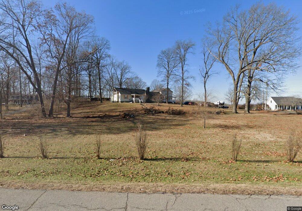
5245 Highway 31 W Portland, TN 37148
Estimated Value: $539,936 - $921,000
--
Bed
3
Baths
4,290
Sq Ft
$170/Sq Ft
Est. Value
About This Home
This home is located at 5245 Highway 31 W, Portland, TN 37148 and is currently estimated at $729,484, approximately $170 per square foot. 5245 Highway 31 W is a home located in Robertson County with nearby schools including East Robertson Elementary School and East Robertson High School.
Ownership History
Date
Name
Owned For
Owner Type
Purchase Details
Closed on
Jul 7, 2008
Sold by
Etal Morse Neal
Bought by
Bruyn David G
Current Estimated Value
Home Financials for this Owner
Home Financials are based on the most recent Mortgage that was taken out on this home.
Original Mortgage
$220,160
Outstanding Balance
$141,743
Interest Rate
6.03%
Estimated Equity
$587,741
Purchase Details
Closed on
May 5, 2006
Bought by
Morse Neal and Leniger Mark
Purchase Details
Closed on
Jun 10, 1972
Bought by
Schurer Andreas and Schurer Thelma L
Create a Home Valuation Report for This Property
The Home Valuation Report is an in-depth analysis detailing your home's value as well as a comparison with similar homes in the area
Home Values in the Area
Average Home Value in this Area
Purchase History
| Date | Buyer | Sale Price | Title Company |
|---|---|---|---|
| Bruyn David G | $221,900 | -- | |
| Morse Neal | $97,000 | -- | |
| Schurer Andreas | -- | -- |
Source: Public Records
Mortgage History
| Date | Status | Borrower | Loan Amount |
|---|---|---|---|
| Open | Schurer Andreas | $220,160 |
Source: Public Records
Tax History Compared to Growth
Tax History
| Year | Tax Paid | Tax Assessment Tax Assessment Total Assessment is a certain percentage of the fair market value that is determined by local assessors to be the total taxable value of land and additions on the property. | Land | Improvement |
|---|---|---|---|---|
| 2024 | $2,309 | $128,275 | $11,775 | $116,500 |
| 2023 | $2,309 | $128,275 | $11,775 | $116,500 |
| 2022 | $1,542 | $59,850 | $8,775 | $51,075 |
| 2021 | $1,542 | $59,850 | $8,775 | $51,075 |
| 2020 | $1,542 | $59,850 | $8,775 | $51,075 |
| 2019 | $1,542 | $59,850 | $8,775 | $51,075 |
| 2018 | $1,542 | $59,850 | $8,775 | $51,075 |
| 2017 | $1,583 | $51,325 | $5,275 | $46,050 |
| 2016 | $1,583 | $51,325 | $5,275 | $46,050 |
| 2015 | $1,519 | $51,325 | $5,275 | $46,050 |
| 2014 | $1,496 | $50,550 | $5,275 | $45,275 |
Source: Public Records
Map
Nearby Homes
- 5300 Highway 31 W
- 135 Old Highway 52 W
- 1202 Tennessee 52
- 267 Aplin Branch Rd
- 432 Crafton Rd
- 293 Aplin Branch Rd
- 572 Buntin Mill Rd
- 1014 Somerville Dr
- 909 College St
- 0 W Harper Rd Unit RTC3031920
- 0 W Harper Rd Unit RTC3031918
- 0 W Harper Rd Unit RTC3031917
- 0 W Harper Rd Unit RTC3031919
- 0 W Harper Rd Unit RTC3031921
- 113 Megann Dr
- 284 Clubbs Rd
- 1502 New Deal Potts Rd
- 844 College St
- 4706 Rock House Rd
- 541 Clearview Rd
- 5247 U S 31w
- 5247 U S 31w
- 5289 U S 31w
- 5247 Highway 31 W
- 5241 Highway 31 W
- 5241 U S 31w
- 5289 U S 31w
- 5289 Highway 31 W
- 5293 Highway 31 W
- 5251 Highway 31 W
- 5251 Highway 31 W
- 5231 Highway 31 W
- 5257 Highway 31 W
- 5210 31w Hwy
- 5303 Highway 31 W
- 5206 Highway 31 W
- 5250 Highway 31 W
- 5300 U S 31w
- 5307 Highway 31 W
- 133 Buntin Mill Rd