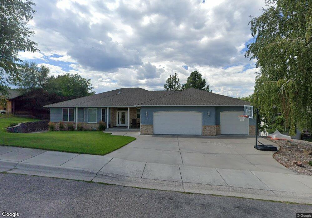
5245 Karen Ct Missoula, MT 59803
Moose Can Gully NeighborhoodEstimated Value: $684,000 - $860,000
4
Beds
3
Baths
2,384
Sq Ft
$321/Sq Ft
Est. Value
About This Home
This home is located at 5245 Karen Ct, Missoula, MT 59803 and is currently estimated at $765,996, approximately $321 per square foot. 5245 Karen Ct is a home located in Missoula County with nearby schools including Jeannette Rankin Elementary School, Meadow Hill Middle School, and Sentinel High School.
Ownership History
Date
Name
Owned For
Owner Type
Purchase Details
Closed on
Jan 20, 2016
Sold by
Marxer Neal
Bought by
Fontaine Michael L and Fontaine Charla M
Current Estimated Value
Home Financials for this Owner
Home Financials are based on the most recent Mortgage that was taken out on this home.
Original Mortgage
$316,000
Outstanding Balance
$250,992
Interest Rate
3.92%
Mortgage Type
New Conventional
Estimated Equity
$515,004
Purchase Details
Closed on
Sep 23, 2015
Sold by
Marxer Neal and Marxer Living Trust
Bought by
Marxer Neal
Purchase Details
Closed on
Aug 4, 2014
Sold by
Marxer Neal and Marxer Barbara L
Bought by
Marxer Neal and Marxer Barbara L
Create a Home Valuation Report for This Property
The Home Valuation Report is an in-depth analysis detailing your home's value as well as a comparison with similar homes in the area
Home Values in the Area
Average Home Value in this Area
Purchase History
| Date | Buyer | Sale Price | Title Company |
|---|---|---|---|
| Fontaine Michael L | -- | First American Title Co | |
| Marxer Neal | -- | First American Title Co | |
| Marxer Neal | -- | None Available |
Source: Public Records
Mortgage History
| Date | Status | Borrower | Loan Amount |
|---|---|---|---|
| Open | Fontaine Michael L | $316,000 |
Source: Public Records
Tax History Compared to Growth
Tax History
| Year | Tax Paid | Tax Assessment Tax Assessment Total Assessment is a certain percentage of the fair market value that is determined by local assessors to be the total taxable value of land and additions on the property. | Land | Improvement |
|---|---|---|---|---|
| 2025 | $8,823 | $870,700 | $181,992 | $688,708 |
| 2024 | $8,467 | $695,800 | $143,961 | $551,839 |
| 2023 | $8,159 | $695,800 | $143,961 | $551,839 |
| 2022 | $7,268 | $537,700 | $0 | $0 |
| 2021 | $6,532 | $537,700 | $0 | $0 |
| 2020 | $5,985 | $457,500 | $0 | $0 |
| 2019 | $5,965 | $457,500 | $0 | $0 |
| 2018 | $5,637 | $420,400 | $0 | $0 |
| 2017 | $5,037 | $420,400 | $0 | $0 |
| 2016 | $5,452 | $432,000 | $0 | $0 |
| 2015 | $5,043 | $432,000 | $0 | $0 |
| 2014 | $4,950 | $238,924 | $0 | $0 |
Source: Public Records
Map
Nearby Homes
- 115 Kinnikinnick Ct
- 2615 Gharrett St
- 2424 55th St
- 2517 Southhills Dr
- 2407 55th St
- 2340 55th St Unit 7
- LOT 4 Miller Creek Rd
- LOT 2 Miller Creek Rd
- 5605 Ebb Way
- 2227 E Crescent Dr
- Lot 3 Miller Creek Rd
- 2207 Garland Dr
- 2976 Saint Thomas Dr
- 2925 Saint Michael Dr
- 3165 Lamoreux Ln
- 5142 Clearview Way
- 5602 Mainview Dr
- 2537 Drake Ln
- 2543 Drake Ln
- 2120 42nd St
- 5241 Karen Ct
- 5249 Karen Ct
- 5244 Dorothy Ct
- 5246 Karen Ct
- 5237 Karen Ct
- 5242 Karen Ct
- 5240 Dorothy Ct
- 2621 Highwood Dr
- 5238 Karen Ct
- 2625 Highwood Dr
- 2605 Anthony Ln
- 2611 Anthony Ln
- 5247 Dorothy Ct
- 2601 Anthony Ln
- 2615 Anthony Ln
- 103 Kinnikinnick Ct
- 5251 Dorothy Ct
- 2629 Highwood Dr
- 2500 Blackthorn Dr
- 2620 Highwood Dr