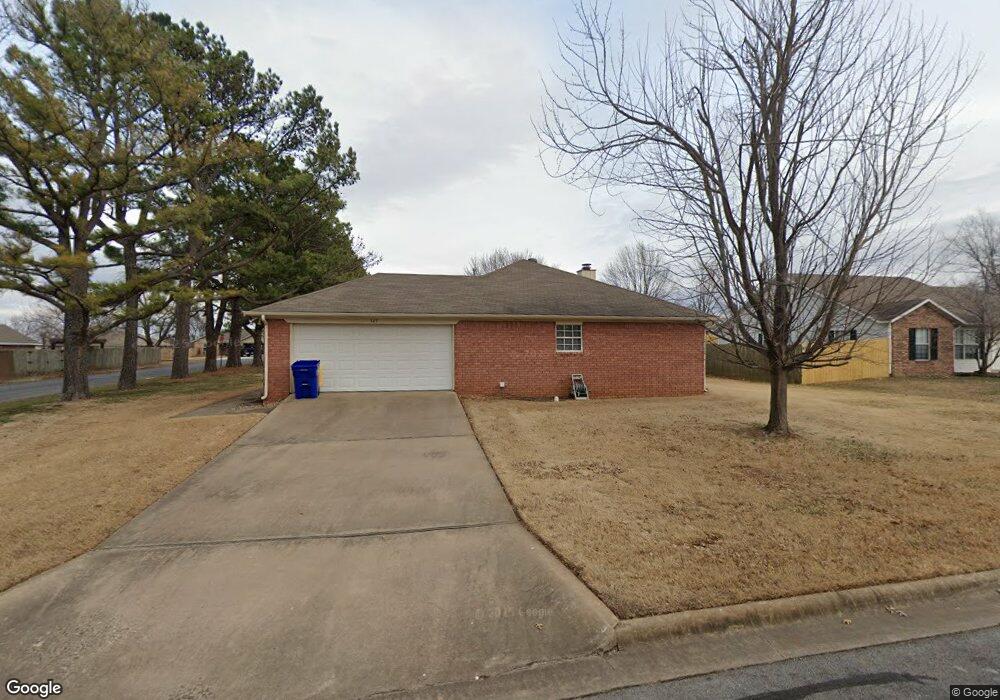
525 Dickson St Lowell, AR 72745
Estimated Value: $286,000 - $299,000
3
Beds
2
Baths
1,482
Sq Ft
$197/Sq Ft
Est. Value
About This Home
This home is located at 525 Dickson St, Lowell, AR 72745 and is currently estimated at $291,756, approximately $196 per square foot. 525 Dickson St is a home located in Benton County with nearby schools including Lowell Elementary School, Kirksey Middle School, and Rogers High School.
Ownership History
Date
Name
Owned For
Owner Type
Purchase Details
Closed on
Jul 26, 2004
Bought by
Cummins
Current Estimated Value
Purchase Details
Closed on
Jul 21, 2004
Bought by
Cummins
Purchase Details
Closed on
May 31, 2002
Bought by
Gasper
Purchase Details
Closed on
Nov 1, 1995
Bought by
Burke
Purchase Details
Closed on
May 8, 1995
Bought by
Legend 3P
Create a Home Valuation Report for This Property
The Home Valuation Report is an in-depth analysis detailing your home's value as well as a comparison with similar homes in the area
Home Values in the Area
Average Home Value in this Area
Purchase History
We collect this data history from publicly available records. To have your information removed, we recommend requesting removal directly through your county’s website.
| Date | Buyer | Sale Price | Title Company |
|---|---|---|---|
| Cummins | $119,000 | -- | |
| Cummins | $119,000 | -- | |
| Gasper | $90,000 | -- | |
| Burke | $80,000 | -- | |
| Legend 3P | -- | -- | |
| Legend 3P | $45,000 | -- |
Source: Public Records
Tax History
| Year | Tax Paid | Tax Assessment Tax Assessment Total Assessment is a certain percentage of the fair market value that is determined by local assessors to be the total taxable value of land and additions on the property. | Land | Improvement |
|---|---|---|---|---|
| 2025 | $1,007 | $51,709 | $15,200 | $36,509 |
| 2024 | $933 | $51,709 | $15,200 | $36,509 |
| 2023 | $933 | $33,130 | $7,200 | $25,930 |
| 2022 | $648 | $33,130 | $7,200 | $25,930 |
| 2021 | $644 | $33,130 | $7,200 | $25,930 |
| 2020 | $646 | $24,020 | $4,000 | $20,020 |
| 2019 | $620 | $24,020 | $4,000 | $20,020 |
| 2018 | $645 | $24,020 | $4,000 | $20,020 |
| 2017 | $583 | $24,020 | $4,000 | $20,020 |
| 2016 | $583 | $24,020 | $4,000 | $20,020 |
| 2015 | $933 | $22,560 | $4,400 | $18,160 |
| 2014 | $583 | $22,560 | $4,400 | $18,160 |
Source: Public Records
Map
Nearby Homes
- 500 Beaunoir Ave
- 476 Beaunoir Ave
- 600 Albarossa Ave
- 604 Albarossa Ave
- 472 Beaunoir Ave
- 608 Albarossa Ave
- 468 Beaunoir Ave
- 464 Beaunoir Ave
- 612 Albarossa Ave
- 601 Albarossa Ave
- 460 Beaunoir Ave
- 605 Albarossa Ave
- 616 Albarossa Ave
- 456 Beaunoir Ave
- 609 Albarossa Ave
- 613 Albarossa Ave
- 620 Albarossa Ave
- 433 Beaunoir Ave
- 617 Albarossa Ave
- 621 Albarossa Ave
- 521 Dickson St
- 526 Highland St
- 522 Highland St
- 516 Highland St
- 603 Dickson St
- 512 Highland St
- 526 Dickson St
- 520 Dickson St
- 602 Highland St
- 517 Dickson St
- 520 Highland St
- 602 Dickson St
- 607 Dickson St
- 514 Dickson St
- 516 Dickson St
- 525 Highland St
- 501 Barker Ave
- 608 Highland St
- 601 Highland St
- 521 Honeysuckle St
Your Personal Tour Guide
Ask me questions while you tour the home.