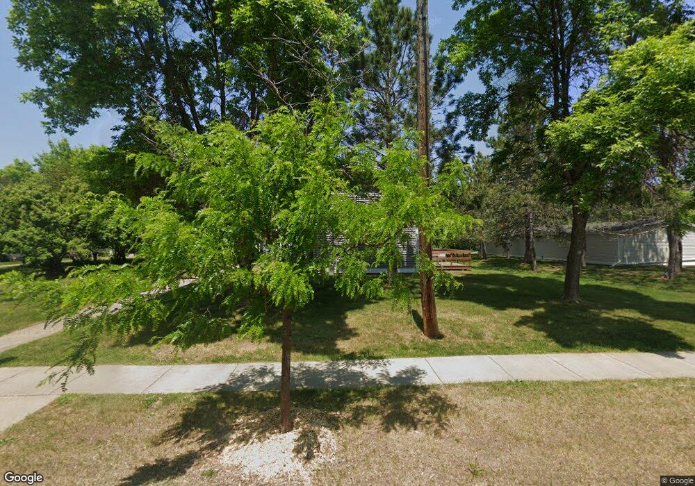
525 Selfridge Dr Unit 42A Duluth, MN 55811
Kenwood NeighborhoodEstimated Value: $221,000 - $239,000
3
Beds
2
Baths
1,104
Sq Ft
$210/Sq Ft
Est. Value
About This Home
This home is located at 525 Selfridge Dr Unit 42A, Duluth, MN 55811 and is currently estimated at $231,854, approximately $210 per square foot. 525 Selfridge Dr Unit 42A is a home located in St. Louis County with nearby schools including Lowell Elementary School, Lincoln Park Middle School, and Denfeld High School.
Ownership History
Date
Name
Owned For
Owner Type
Purchase Details
Closed on
Nov 29, 2002
Sold by
Allen Jeffrey and Reynolds Allen Magdalena C
Bought by
Mohr Julie Ann
Current Estimated Value
Home Financials for this Owner
Home Financials are based on the most recent Mortgage that was taken out on this home.
Original Mortgage
$89,550
Interest Rate
6.13%
Create a Home Valuation Report for This Property
The Home Valuation Report is an in-depth analysis detailing your home's value as well as a comparison with similar homes in the area
Home Values in the Area
Average Home Value in this Area
Purchase History
| Date | Buyer | Sale Price | Title Company |
|---|---|---|---|
| Mohr Julie Ann | $99,500 | Consolidated Title & Abstrac |
Source: Public Records
Mortgage History
| Date | Status | Borrower | Loan Amount |
|---|---|---|---|
| Previous Owner | Mohr Julie Ann | $89,550 |
Source: Public Records
Tax History
| Year | Tax Paid | Tax Assessment Tax Assessment Total Assessment is a certain percentage of the fair market value that is determined by local assessors to be the total taxable value of land and additions on the property. | Land | Improvement |
|---|---|---|---|---|
| 2024 | $2,960 | $214,800 | $21,900 | $192,900 |
| 2023 | $2,960 | $197,000 | $21,900 | $175,100 |
| 2022 | $2,800 | $167,100 | $21,200 | $145,900 |
| 2021 | $1,768 | $130,900 | $20,400 | $110,500 |
| 2020 | $1,546 | $130,900 | $20,400 | $110,500 |
| 2019 | $1,396 | $116,100 | $18,400 | $97,700 |
| 2018 | $1,294 | $107,700 | $18,000 | $89,700 |
| 2017 | $1,284 | $107,700 | $18,000 | $89,700 |
| 2016 | $1,258 | $107,000 | $18,000 | $89,000 |
| 2015 | $1,102 | $67,800 | $12,200 | $55,600 |
| 2014 | $1,102 | $67,800 | $12,200 | $55,600 |
Source: Public Records
Map
Nearby Homes
- 2360 Apple Ridge Dr
- 1944 Chinook Dr
- 1802 Rice Lake Rd
- 1804 Rice Lake Rd
- 1145 Como Ave Unit 1
- 1524 W Arrowhead Rd
- 205 Bluff's Ridge Ct
- 20xx Stanford Ave
- 29 W Ideal St
- 2718 Northridge Dr
- 35 W Ideal St
- 1205 W Arrowhead Rd
- 1030 Missouri Ave
- 1950 Middle Ln
- 908 E Skyline Pkwy
- 1722 North Rd
- 817 Maple Bend Dr
- 1011 W Arrowhead Rd
- 616 Maple Bend Dr
- 1125 N 7th Ave E
- 527 Selfridge Dr Unit 42B
- 529 Selfridge Dr Unit 42C
- 523 Selfridge Dr Unit 43D
- 521 Selfridge Dr
- 531 Selfridge Dr Unit 42D
- 519 Selfridge Dr
- 517 Selfridge Dr
- 515 Selfridge Dr
- 513 Selfridge Dr Unit 44C
- 511 Selfridge Dr Unit 44B
- 509 Selfridge Dr Unit 44A
- 509 Selfridge Dr Unit 1
- 601 Selfridge Dr Unit 56A
- 509 509 Selfridge-Drive-
- 509 509 Selfridge Dr
- 607 Selfridge Dr Unit 56D
- 605 Selfridge Dr Unit 56C
- 516 Selfridge Dr Unit 58A
- 603 Selfridge Dr
- 514 Selfridge Dr Unit 58B
Your Personal Tour Guide
Ask me questions while you tour the home.