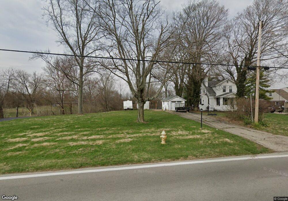
5250 W Fork Rd Cincinnati, OH 45247
West Monfort Heights NeighborhoodEstimated Value: $67,911 - $172,000
1
Bed
1
Bath
624
Sq Ft
$219/Sq Ft
Est. Value
About This Home
This home is located at 5250 W Fork Rd, Cincinnati, OH 45247 and is currently estimated at $136,478, approximately $218 per square foot. 5250 W Fork Rd is a home located in Hamilton County with nearby schools including Monfort Heights Elementary School, White Oak Middle School, and Colerain High School.
Ownership History
Date
Name
Owned For
Owner Type
Purchase Details
Closed on
Aug 18, 2006
Sold by
Puckett Gary
Bought by
Lambrinides Timothy W and Lambrinides Tricia A
Current Estimated Value
Purchase Details
Closed on
Sep 17, 1999
Sold by
Baldwin John H
Bought by
Baldwin John H and John H Baldwin Trust
Create a Home Valuation Report for This Property
The Home Valuation Report is an in-depth analysis detailing your home's value as well as a comparison with similar homes in the area
Home Values in the Area
Average Home Value in this Area
Purchase History
| Date | Buyer | Sale Price | Title Company |
|---|---|---|---|
| Lambrinides Timothy W | $90,000 | None Available | |
| Baldwin John H | -- | -- |
Source: Public Records
Tax History Compared to Growth
Tax History
| Year | Tax Paid | Tax Assessment Tax Assessment Total Assessment is a certain percentage of the fair market value that is determined by local assessors to be the total taxable value of land and additions on the property. | Land | Improvement |
|---|---|---|---|---|
| 2024 | $990 | $17,700 | $15,824 | $1,876 |
| 2023 | $979 | $17,700 | $15,824 | $1,876 |
| 2022 | $1,133 | $16,825 | $15,411 | $1,414 |
| 2021 | $1,061 | $16,825 | $15,411 | $1,414 |
| 2020 | $1,048 | $16,825 | $15,411 | $1,414 |
| 2019 | $1,030 | $15,023 | $13,759 | $1,264 |
| 2018 | $920 | $15,023 | $13,759 | $1,264 |
| 2017 | $881 | $15,023 | $13,759 | $1,264 |
| 2016 | $869 | $20,773 | $13,622 | $7,151 |
| 2015 | $1,252 | $20,773 | $13,622 | $7,151 |
| 2014 | $1,256 | $20,773 | $13,622 | $7,151 |
| 2013 | $1,189 | $20,983 | $13,759 | $7,224 |
Source: Public Records
Map
Nearby Homes
- 5563 Haft Rd
- 4491 W Fork Rd
- 4593 Farview Ln
- 4600 Farcrest Ct
- 5380 Haft Rd
- 4252 Runningfawn Dr
- 5804 Cedaridge Dr
- 4044 W Fork Rd
- 5160 Jessup Rd
- 5340 Meadow Walk Ln
- 4628 Boomer Rd
- 5320 Meadow Walk Ln
- 5695 Jessup Rd
- 5991 Gaines Rd
- Magnolia Plan at Ivy Rose - Designer Collection
- Blair Plan at Ivy Rose - Designer Collection
- Avery Plan at Ivy Rose - Designer Collection
- Winston Plan at Ivy Rose - Designer Collection
- Carrington Plan at Ivy Rose - Designer Collection
- Wyatt Plan at Ivy Rose - Designer Collection