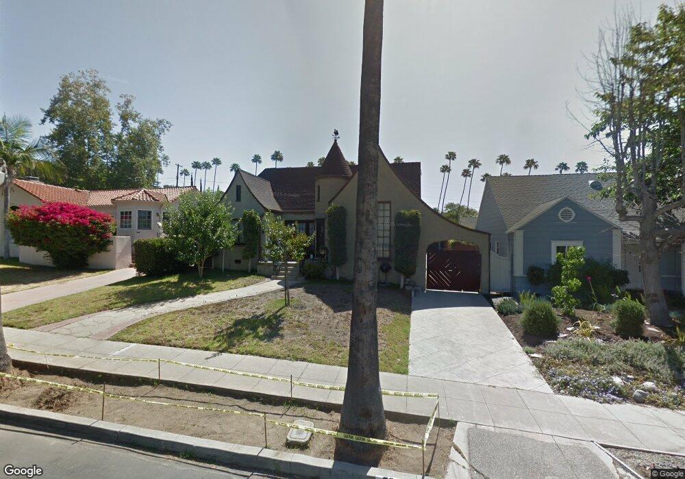
5258 Vincent Ave Los Angeles, CA 90041
Eagle Rock NeighborhoodEstimated Value: $1,268,000 - $1,565,000
2
Beds
2
Baths
1,271
Sq Ft
$1,096/Sq Ft
Est. Value
About This Home
This home is located at 5258 Vincent Ave, Los Angeles, CA 90041 and is currently estimated at $1,392,725, approximately $1,095 per square foot. 5258 Vincent Ave is a home located in Los Angeles County with nearby schools including Dahlia Heights Elementary, Eagle Rock High School, and PUC CALS Middle School and Early College High.
Ownership History
Date
Name
Owned For
Owner Type
Purchase Details
Closed on
Jun 23, 2016
Sold by
Vondrus Masako
Bought by
Vondrus Masako
Current Estimated Value
Purchase Details
Closed on
Nov 22, 2011
Sold by
Osada Kotaro and Vondrus Masako
Bought by
Vondrus Miroslav and Vondrus Masako
Purchase Details
Closed on
Feb 2, 2010
Sold by
Osada Kotaro and Vondrus Masako
Bought by
Osada Kotaro and Vondrus Masako
Create a Home Valuation Report for This Property
The Home Valuation Report is an in-depth analysis detailing your home's value as well as a comparison with similar homes in the area
Home Values in the Area
Average Home Value in this Area
Purchase History
| Date | Buyer | Sale Price | Title Company |
|---|---|---|---|
| Vondrus Masako | -- | None Available | |
| Vondrus Miroslav | -- | None Available | |
| Osada Kotaro | -- | None Available | |
| Osada Kotaro | -- | None Available |
Source: Public Records
Tax History Compared to Growth
Tax History
| Year | Tax Paid | Tax Assessment Tax Assessment Total Assessment is a certain percentage of the fair market value that is determined by local assessors to be the total taxable value of land and additions on the property. | Land | Improvement |
|---|---|---|---|---|
| 2025 | $6,377 | $514,173 | $332,887 | $181,286 |
| 2024 | $6,377 | $504,092 | $326,360 | $177,732 |
| 2023 | $6,257 | $494,209 | $319,961 | $174,248 |
| 2022 | $5,971 | $484,520 | $313,688 | $170,832 |
| 2021 | $5,897 | $475,021 | $307,538 | $167,483 |
| 2019 | $5,724 | $460,933 | $298,417 | $162,516 |
| 2018 | $5,580 | $451,896 | $292,566 | $159,330 |
| 2016 | $2,974 | $243,767 | $130,974 | $112,793 |
| 2015 | $2,931 | $240,106 | $129,007 | $111,099 |
| 2014 | $2,948 | $235,403 | $126,480 | $108,923 |
Source: Public Records
Map
Nearby Homes
- 1691 Hill Dr
- 5152 Vincent Ave
- 1515 Colorado Blvd
- 5150 Argus Dr
- 5130 Loleta Ave
- 0 Maemurray Dr
- 1871 Hill Dr
- 4989 Vincent Ave
- 4984 Vincent Ave
- 1440 Holbrook St
- 4953 Mount Royal Dr
- 4934 La Roda Ave
- 1325 Linda Rosa Ave
- 2001 Hill Dr
- 1300 Blue Hill Rd
- 1832 Oak Tree Dr Unit 8
- 1832 Oak Tree Dr Unit 13
- 4890 Floristan Ave
- 2541 Sleepy Hollow Dr
- 2580 Sleepy Hollow Dr
- 5264 Vincent Ave
- 5250 Vincent Ave
- 5268 Vincent Ave
- 5244 Vincent Ave
- 5242 Vincent Ave
- 5257 Townsend Ave
- 5265 Townsend Ave
- 5253 Townsend Ave
- 5269 Townsend Ave
- 5249 Townsend Ave
- 5265 Vincent Ave
- 5236 Vincent Ave
- 1654 Hill Dr
- 5253 Vincent Ave
- 5273 Townsend Ave
- 5243 Townsend Ave
- 1650 Hill Dr
- 5249 Vincent Ave
- 1674 Hill Dr
- 5234 Vincent Ave