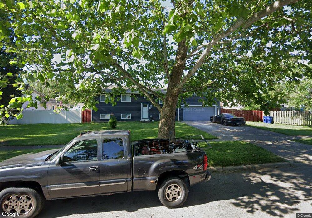
5262 Lindora Dr Columbus, OH 43232
Walnut Heights NeighborhoodEstimated Value: $228,000 - $283,000
5
Beds
2
Baths
1,450
Sq Ft
$175/Sq Ft
Est. Value
About This Home
This home is located at 5262 Lindora Dr, Columbus, OH 43232 and is currently estimated at $253,236, approximately $174 per square foot. 5262 Lindora Dr is a home located in Franklin County with nearby schools including Liberty Elementary School, Yorktown Middle School, and Independence High School.
Ownership History
Date
Name
Owned For
Owner Type
Purchase Details
Closed on
Sep 1, 1995
Sold by
Sipe Helen W
Bought by
Mclean Rex L and Mclean Deborah D
Current Estimated Value
Home Financials for this Owner
Home Financials are based on the most recent Mortgage that was taken out on this home.
Original Mortgage
$60,800
Interest Rate
7.55%
Mortgage Type
New Conventional
Purchase Details
Closed on
Aug 27, 1990
Create a Home Valuation Report for This Property
The Home Valuation Report is an in-depth analysis detailing your home's value as well as a comparison with similar homes in the area
Home Values in the Area
Average Home Value in this Area
Purchase History
| Date | Buyer | Sale Price | Title Company |
|---|---|---|---|
| Mclean Rex L | $64,000 | -- | |
| -- | $67,000 | -- |
Source: Public Records
Mortgage History
| Date | Status | Borrower | Loan Amount |
|---|---|---|---|
| Closed | Mclean Rex L | $60,800 |
Source: Public Records
Tax History
| Year | Tax Paid | Tax Assessment Tax Assessment Total Assessment is a certain percentage of the fair market value that is determined by local assessors to be the total taxable value of land and additions on the property. | Land | Improvement |
|---|---|---|---|---|
| 2025 | $4,159 | $92,680 | $21,000 | $71,680 |
| 2024 | $4,159 | $92,680 | $21,000 | $71,680 |
| 2023 | $3,604 | $81,340 | $21,000 | $60,340 |
| 2022 | $2,574 | $49,630 | $9,730 | $39,900 |
| 2021 | $2,579 | $49,630 | $9,730 | $39,900 |
| 2020 | $2,535 | $48,720 | $9,730 | $38,990 |
| 2019 | $2,465 | $40,640 | $8,120 | $32,520 |
| 2018 | $2,126 | $40,640 | $8,120 | $32,520 |
| 2017 | $2,464 | $40,640 | $8,120 | $32,520 |
| 2016 | $1,973 | $29,790 | $5,710 | $24,080 |
| 2015 | $1,791 | $29,790 | $5,710 | $24,080 |
| 2014 | $1,796 | $29,790 | $5,710 | $24,080 |
| 2013 | $984 | $33,075 | $6,335 | $26,740 |
Source: Public Records
Map
Nearby Homes
- 5226 Lindora Dr
- 2651 Brownfield Rd
- 2627 Hubbell Rd
- 5137 Holbrook Dr
- 5326 Adderley Ave
- 2730 Raphael Dr
- 2900 Gentry Ln
- 2700 Raphael Dr
- 5114 Carbondale Dr
- 2744 Barrows Rd
- 2736 Barrows Rd
- 3012 Argonne Ct
- 5290 Quincy Dr
- 5373 Spire Ln
- 2998 Osgood Rd E
- 5144 Botsford Dr
- 2908 Renfro Rd
- 5361 Parkline Dr
- 4942 Talbert Dr
- 2336 Noe Bixby Rd
- 2706 Brownfield Rd
- 2694 Brownfield Rd
- 2723 Dellworth St
- 2713 Dellworth St
- 2705 Dellworth St
- 2686 Brownfield Rd
- 5259 Lindora Dr
- 2695 Dellworth St
- 5271 Lindora Dr
- 5251 Lindora Dr
- 2707 Brownfield Rd
- 5243 Lindora Dr
- 2678 Brownfield Rd
- 5279 Lindora Dr
- 2687 Dellworth St
- 5235 Lindora Dr
- 5294 Lindora Dr
- 2695 Brownfield Rd
- 2718 Dellworth St
- 2710 Dellworth St
Your Personal Tour Guide
Ask me questions while you tour the home.