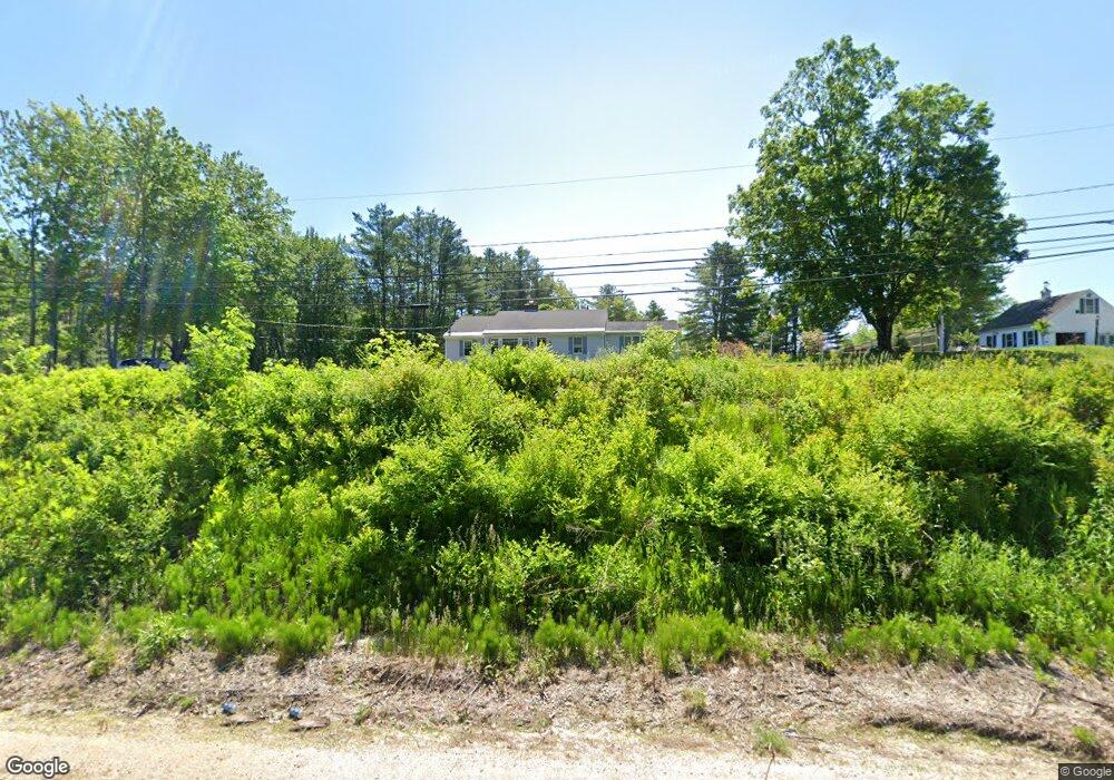
527 Portland Ave Rollinsford, NH 03869
Estimated Value: $427,000 - $563,000
2
Beds
2
Baths
1,937
Sq Ft
$251/Sq Ft
Est. Value
About This Home
This home is located at 527 Portland Ave, Rollinsford, NH 03869 and is currently estimated at $486,023, approximately $250 per square foot. 527 Portland Ave is a home located in Strafford County with nearby schools including Rollinsford Grade School, St Mary Academy, and My School.
Ownership History
Date
Name
Owned For
Owner Type
Purchase Details
Closed on
Aug 18, 2016
Sold by
Roy Mark M
Bought by
Seawards William G and Seawards Jean M
Current Estimated Value
Home Financials for this Owner
Home Financials are based on the most recent Mortgage that was taken out on this home.
Original Mortgage
$142,500
Outstanding Balance
$113,441
Interest Rate
3.41%
Mortgage Type
Purchase Money Mortgage
Estimated Equity
$372,582
Create a Home Valuation Report for This Property
The Home Valuation Report is an in-depth analysis detailing your home's value as well as a comparison with similar homes in the area
Home Values in the Area
Average Home Value in this Area
Purchase History
| Date | Buyer | Sale Price | Title Company |
|---|---|---|---|
| Seawards William G | $190,000 | -- |
Source: Public Records
Mortgage History
| Date | Status | Borrower | Loan Amount |
|---|---|---|---|
| Open | Seawards William G | $142,500 |
Source: Public Records
Tax History Compared to Growth
Tax History
| Year | Tax Paid | Tax Assessment Tax Assessment Total Assessment is a certain percentage of the fair market value that is determined by local assessors to be the total taxable value of land and additions on the property. | Land | Improvement |
|---|---|---|---|---|
| 2024 | $7,009 | $427,100 | $236,000 | $191,100 |
| 2023 | $6,453 | $419,600 | $236,000 | $183,600 |
| 2022 | $6,239 | $419,600 | $236,000 | $183,600 |
| 2021 | $6,295 | $258,200 | $135,000 | $123,200 |
| 2020 | $6,372 | $258,200 | $135,000 | $123,200 |
| 2019 | $5,838 | $258,200 | $135,000 | $123,200 |
| 2018 | $6,233 | $258,200 | $135,000 | $123,200 |
| 2016 | $6,396 | $228,600 | $104,500 | $124,100 |
| 2015 | $6,270 | $228,600 | $104,500 | $124,100 |
| 2014 | $6,058 | $228,600 | $104,500 | $124,100 |
| 2013 | $6,145 | $228,600 | $104,500 | $124,100 |
Source: Public Records
Map
Nearby Homes
- 11 Country Club Estates Dr Unit 11
- Lot 6 Emerson Ridge Unit 6
- Lot 8 Emerson Ridge Unit 8
- 24 Atlantic Ave
- 27 Atlantic Ave
- 23 Townsend Dr
- 8 Gerrys Ln
- 96 Broadway Unit 98
- 36 Oak St
- 34 Floral Ave Unit 5
- 3 Cocheco St
- 4 Winterberry Dr
- 38 Wisteria Dr
- 46-50 Cocheco St
- 713 Central Ave Unit 1
- 725 Central Ave Unit 203
- 725 Central Ave Unit LL03
- 725 Central Ave Unit 301
- 725 Central Ave Unit 302
- 725 Central Ave Unit LL01
- 519 Portland Ave Unit AKA 91 Toll Road
- 519 Portland Ave
- 91 Toll Rd
- 541 Portland Ave
- 31 Toll Rd
- 507 Portland Ave
- 501 Portland Ave
- 5 Ross Rd
- 5 Ross Rd
- 555 Portland Ave
- 473 Portland Ave
- 520 Portland Ave
- Lot 1 Ross Rd
- 497 Portland Ave
- 561 Portland Ave
- 546 Portland Ave
- 494 Portland Ave
- 6 Ross Rd
- 567 Portland Ave
- 558 Portland Ave