529 Vale Rd Springfield, OH 45504
Cedar Hills/Broadview NeighborhoodEstimated Value: $221,658 - $275,000
3
Beds
2
Baths
1,388
Sq Ft
$177/Sq Ft
Est. Value
About This Home
This home is located at 529 Vale Rd, Springfield, OH 45504 and is currently estimated at $245,165, approximately $176 per square foot. 529 Vale Rd is a home located in Clark County with nearby schools including Possum Elementary School, Shawnee Middle School/High School, and Springfield Christian School.
Ownership History
Date
Name
Owned For
Owner Type
Purchase Details
Closed on
Feb 12, 2001
Sold by
Contimortgage Corp
Bought by
Mershon Ronald and Mershon Leigh Ann
Current Estimated Value
Home Financials for this Owner
Home Financials are based on the most recent Mortgage that was taken out on this home.
Original Mortgage
$97,350
Outstanding Balance
$33,769
Interest Rate
7.06%
Mortgage Type
Purchase Money Mortgage
Estimated Equity
$211,396
Purchase Details
Closed on
Sep 20, 2000
Sold by
Estes Randy L
Bought by
Contimortgage Corp
Purchase Details
Closed on
May 24, 1996
Sold by
Estes Cloye A
Bought by
Estes Randy L and Estes Linda
Home Financials for this Owner
Home Financials are based on the most recent Mortgage that was taken out on this home.
Original Mortgage
$75,000
Interest Rate
8.1%
Mortgage Type
New Conventional
Create a Home Valuation Report for This Property
The Home Valuation Report is an in-depth analysis detailing your home's value as well as a comparison with similar homes in the area
Home Values in the Area
Average Home Value in this Area
Purchase History
| Date | Buyer | Sale Price | Title Company |
|---|---|---|---|
| Mershon Ronald | $102,500 | -- | |
| Contimortgage Corp | $80,000 | -- | |
| Estes Randy L | $85,000 | -- |
Source: Public Records
Mortgage History
| Date | Status | Borrower | Loan Amount |
|---|---|---|---|
| Open | Mershon Ronald | $97,350 | |
| Previous Owner | Estes Randy L | $75,000 |
Source: Public Records
Tax History
| Year | Tax Paid | Tax Assessment Tax Assessment Total Assessment is a certain percentage of the fair market value that is determined by local assessors to be the total taxable value of land and additions on the property. | Land | Improvement |
|---|---|---|---|---|
| 2025 | $2,727 | $69,470 | $12,570 | $56,900 |
| 2024 | $2,656 | $54,350 | $11,310 | $43,040 |
| 2023 | $2,656 | $54,350 | $11,310 | $43,040 |
| 2022 | $2,634 | $54,350 | $11,310 | $43,040 |
| 2021 | $2,344 | $43,290 | $8,980 | $34,310 |
| 2020 | $2,399 | $43,290 | $8,980 | $34,310 |
| 2019 | $2,437 | $43,290 | $8,980 | $34,310 |
| 2018 | $2,433 | $43,250 | $11,780 | $31,470 |
| 2017 | $2,493 | $40,590 | $11,785 | $28,805 |
| 2016 | $2,286 | $40,590 | $11,785 | $28,805 |
| 2015 | $2,351 | $39,995 | $11,225 | $28,770 |
| 2014 | $2,358 | $39,995 | $11,225 | $28,770 |
| 2013 | $2,054 | $39,995 | $11,225 | $28,770 |
Source: Public Records
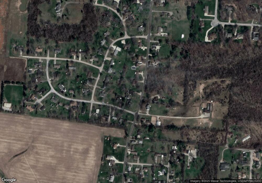
Map
Nearby Homes
- 3891 New Carlisle Pike
- 4461 New Carlisle Pike
- 624 Aberfelda Dr
- 124 Old Mill Rd
- 4638 W National Rd
- 190 Oakridge Dr
- 2805 Cottonwood Dr
- 917 White Oak Dr
- 2743 Ironwood Dr
- 361 Upper Valley Pike
- 128 Ravenwood Dr
- 3319 Wendover St
- 925 Upper Valley Pike
- 0 Upper Valley Pike
- 195 N Tecumseh Rd
- 929 N Tecumseh Rd
- 3183 Lower Valley Pike
- 1290 Red Oaks Cir
- 96 Eastwood Dr
- 3305 Turner Dr E
- 533 Vale Rd
- 4020 Grange Hall Rd
- 4008 Grange Hall Rd
- 519 Vale Rd
- 514 Candace Dr
- 508 Candace Dr
- 520 Candace Dr
- 528 Vale Rd
- 4034 Grange Hall Rd
- 4009 Grange Hall Rd
- 4021 Grange Hall Rd
- 569 Vale Rd
- 445 Vale Rd
- 4033 Grange Hall Rd
- 534 Candace Dr
- 570 Vale Rd
- 4041 Grange Hall Rd
- 450 Vale Rd
- 444 Vale Rd
- 0 Rockview Dr Unit 377639
Your Personal Tour Guide
Ask me questions while you tour the home.