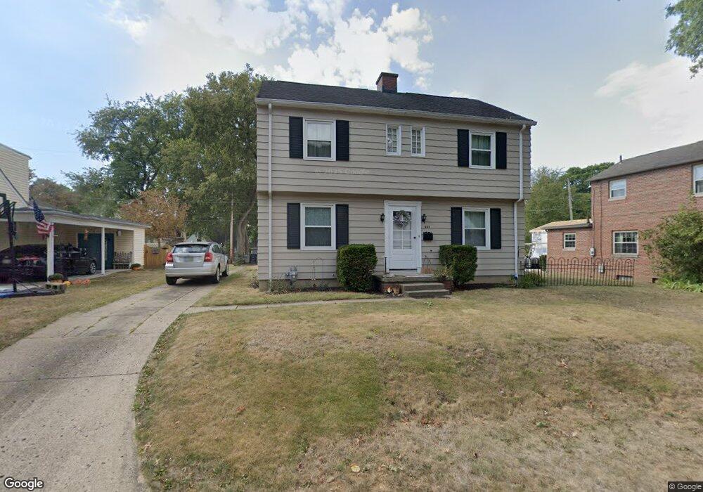
530 Frederick St S Lancaster, OH 43130
Estimated Value: $203,433 - $247,000
3
Beds
2
Baths
1,290
Sq Ft
$169/Sq Ft
Est. Value
About This Home
This home is located at 530 Frederick St S, Lancaster, OH 43130 and is currently estimated at $218,608, approximately $169 per square foot. 530 Frederick St S is a home located in Fairfield County with nearby schools including Thomas Ewing Junior High School, Lancaster High School, and St Mary Elementary School.
Ownership History
Date
Name
Owned For
Owner Type
Purchase Details
Closed on
Jun 7, 2005
Sold by
Hoch James S
Bought by
Hoch Ruth A
Current Estimated Value
Purchase Details
Closed on
Apr 5, 2004
Sold by
Wolfe Thomas E and Wolfe Marilyn J
Bought by
Hoch James S and Hoch Ruth A
Home Financials for this Owner
Home Financials are based on the most recent Mortgage that was taken out on this home.
Original Mortgage
$128,000
Interest Rate
5.66%
Mortgage Type
Purchase Money Mortgage
Purchase Details
Closed on
Jan 13, 1998
Sold by
Fouse Leota A
Bought by
Wolfe Thomas E
Home Financials for this Owner
Home Financials are based on the most recent Mortgage that was taken out on this home.
Original Mortgage
$82,300
Interest Rate
7.26%
Mortgage Type
New Conventional
Purchase Details
Closed on
Jun 21, 1993
Sold by
Fouse Wm H
Bought by
Fouse Leota A
Create a Home Valuation Report for This Property
The Home Valuation Report is an in-depth analysis detailing your home's value as well as a comparison with similar homes in the area
Home Values in the Area
Average Home Value in this Area
Purchase History
| Date | Buyer | Sale Price | Title Company |
|---|---|---|---|
| Hoch Ruth A | -- | -- | |
| Hoch James S | $128,000 | -- | |
| Wolfe Thomas E | $86,680 | -- | |
| Fouse Leota A | -- | -- |
Source: Public Records
Mortgage History
| Date | Status | Borrower | Loan Amount |
|---|---|---|---|
| Previous Owner | Hoch James S | $128,000 | |
| Previous Owner | Wolfe Thomas E | $82,300 |
Source: Public Records
Tax History
| Year | Tax Paid | Tax Assessment Tax Assessment Total Assessment is a certain percentage of the fair market value that is determined by local assessors to be the total taxable value of land and additions on the property. | Land | Improvement |
|---|---|---|---|---|
| 2025 | $4,510 | $62,360 | $17,910 | $44,450 |
| 2024 | $4,510 | $50,170 | $8,100 | $42,070 |
| 2023 | $1,825 | $50,170 | $8,100 | $42,070 |
| 2022 | $1,832 | $50,170 | $8,100 | $42,070 |
| 2021 | $1,487 | $38,150 | $8,100 | $30,050 |
| 2020 | $1,425 | $38,150 | $8,100 | $30,050 |
| 2019 | $1,355 | $38,150 | $8,100 | $30,050 |
| 2018 | $1,327 | $30,190 | $8,100 | $22,090 |
| 2017 | $1,328 | $35,510 | $8,100 | $27,410 |
| 2016 | $1,293 | $35,510 | $8,100 | $27,410 |
| 2015 | $1,241 | $33,060 | $8,100 | $24,960 |
| 2014 | $1,182 | $33,060 | $8,100 | $24,960 |
| 2013 | $1,182 | $33,060 | $8,100 | $24,960 |
Source: Public Records
Map
Nearby Homes
- 517 N Maple St
- 311 E Allen St
- 705 Madison Ave
- 233 E 6th Ave
- 736 E Allen St
- 600 N High St
- 641 King St
- 810 N Eastwood Ave
- 632 N Eastwood Ave
- 165 Lake St
- 547 E Mulberry St
- 621 E Mulberry St
- 820 N Broad St
- 17 Red Bud Ln
- 534 E Wheeling St
- 249 N Pearl Ave
- 545 E Main St
- 123 Arnold Ave
- 130 W Fair Ave
- 859 E Mulberry St
- 520 Frederick St
- 540 Frederick St S
- 518 Frederick St
- 529 Frederick St N
- 529 Frederick St N
- 529 Frederick St N
- 535 Frederick St N
- 535 Frederick St N
- 535 Frederick St N
- 544 Frederick St S
- 525 Frederick St S
- 544 Frederick St N
- 512 Frederick St
- 539 Frederick St N
- 531 E Allen St
- 525 E Allen St
- 535 E Allen St
- 539 Frederick St S
- 545 E Allen St
- 519 E Allen St
Your Personal Tour Guide
Ask me questions while you tour the home.