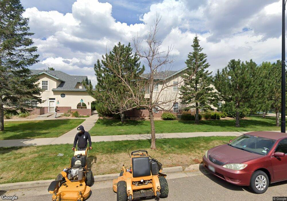
530 Mohawk Dr Unit 86 Boulder, CO 80303
Southeast Boulder NeighborhoodEstimated Value: $505,000 - $558,000
2
Beds
2
Baths
1,111
Sq Ft
$480/Sq Ft
Est. Value
About This Home
This home is located at 530 Mohawk Dr Unit 86, Boulder, CO 80303 and is currently estimated at $533,686, approximately $480 per square foot. 530 Mohawk Dr Unit 86 is a home located in Boulder County with nearby schools including Eisenhower Elementary School, Manhattan Middle School of the Arts & Academics, and Fairview High School.
Ownership History
Date
Name
Owned For
Owner Type
Purchase Details
Closed on
Jun 17, 2021
Sold by
Cannistraro Robert E
Bought by
Cannistraro Robert E and Cannistraro Valerie
Current Estimated Value
Home Financials for this Owner
Home Financials are based on the most recent Mortgage that was taken out on this home.
Original Mortgage
$250,000
Outstanding Balance
$227,113
Interest Rate
3.12%
Mortgage Type
Adjustable Rate Mortgage/ARM
Estimated Equity
$306,573
Purchase Details
Closed on
Apr 26, 2000
Sold by
Meadows Venture Ltd Partnership
Bought by
Cannistraro Robert E
Home Financials for this Owner
Home Financials are based on the most recent Mortgage that was taken out on this home.
Original Mortgage
$155,650
Interest Rate
7.62%
Create a Home Valuation Report for This Property
The Home Valuation Report is an in-depth analysis detailing your home's value as well as a comparison with similar homes in the area
Home Values in the Area
Average Home Value in this Area
Purchase History
| Date | Buyer | Sale Price | Title Company |
|---|---|---|---|
| Cannistraro Robert E | -- | Land Title Guarantee Company | |
| Cannistraro Robert E | $207,557 | Land Title |
Source: Public Records
Mortgage History
| Date | Status | Borrower | Loan Amount |
|---|---|---|---|
| Open | Cannistraro Robert E | $250,000 | |
| Closed | Cannistraro Robert E | $155,650 |
Source: Public Records
Tax History
| Year | Tax Paid | Tax Assessment Tax Assessment Total Assessment is a certain percentage of the fair market value that is determined by local assessors to be the total taxable value of land and additions on the property. | Land | Improvement |
|---|---|---|---|---|
| 2025 | $3,488 | $37,300 | -- | $37,300 |
| 2024 | $3,488 | $37,300 | -- | $37,300 |
| 2023 | $3,350 | $38,790 | -- | $42,475 |
| 2022 | $3,199 | $33,638 | $0 | $33,638 |
| 2021 | $3,054 | $34,606 | $0 | $34,606 |
| 2020 | $2,986 | $34,306 | $0 | $34,306 |
| 2019 | $2,940 | $34,306 | $0 | $34,306 |
| 2018 | $2,495 | $28,778 | $0 | $28,778 |
| 2017 | $2,417 | $31,816 | $0 | $31,816 |
| 2016 | $2,395 | $27,669 | $0 | $27,669 |
| 2015 | $2,268 | $23,227 | $0 | $23,227 |
| 2014 | $1,997 | $23,227 | $0 | $23,227 |
Source: Public Records
Map
Nearby Homes
- 540 Mohawk Dr Unit 18
- 535 Manhattan Dr Unit 203
- 625 Manhattan Place Unit 308
- 4475 Laguna Place Unit 206
- 4475 Laguna Place Unit 201
- 4500 Baseline Rd Unit 1208
- 695 Manhattan Dr Unit 109
- 695 Manhattan Dr Unit 116
- 695 Manhattan Dr Unit 219
- 230 Pawnee Dr
- 665 Manhattan Dr Unit 9
- 600 Manhattan Dr Unit A7
- 600 Manhattan Dr Unit C7
- 4415 Laguna Place Unit 201
- 4521 Navajo Place
- 4195 Chippewa Dr
- 4800 Osage Dr Unit B-16
- 167 Cherokee Way
- 655 Cree Cir
- 130 Cherokee Way
- 530 Mohawk Dr Unit 96
- 530 Mohawk Dr Unit 95
- 530 Mohawk Dr Unit 94
- 530 Mohawk Dr Unit 93
- 530 Mohawk Dr Unit 92
- 530 Mohawk Dr Unit 91
- 530 Mohawk Dr Unit 90
- 530 Mohawk Dr Unit 89
- 530 Mohawk Dr Unit 88
- 530 Mohawk Dr Unit 87
- 530 Mohawk Dr Unit 85
- 530 Mohawk Dr Unit 84
- 530 Mohawk Dr Unit 83
- 530 Mohawk Dr Unit 82
- 530 Mohawk Dr Unit 81
- 530 Mohawk Dr Unit 80
- 530 Mohawk Dr Unit 79
- 530 Mohawk Dr Unit 78
- 530 Mohawk Dr Unit 77
- 530 Mohawk Dr Unit 76
Your Personal Tour Guide
Ask me questions while you tour the home.