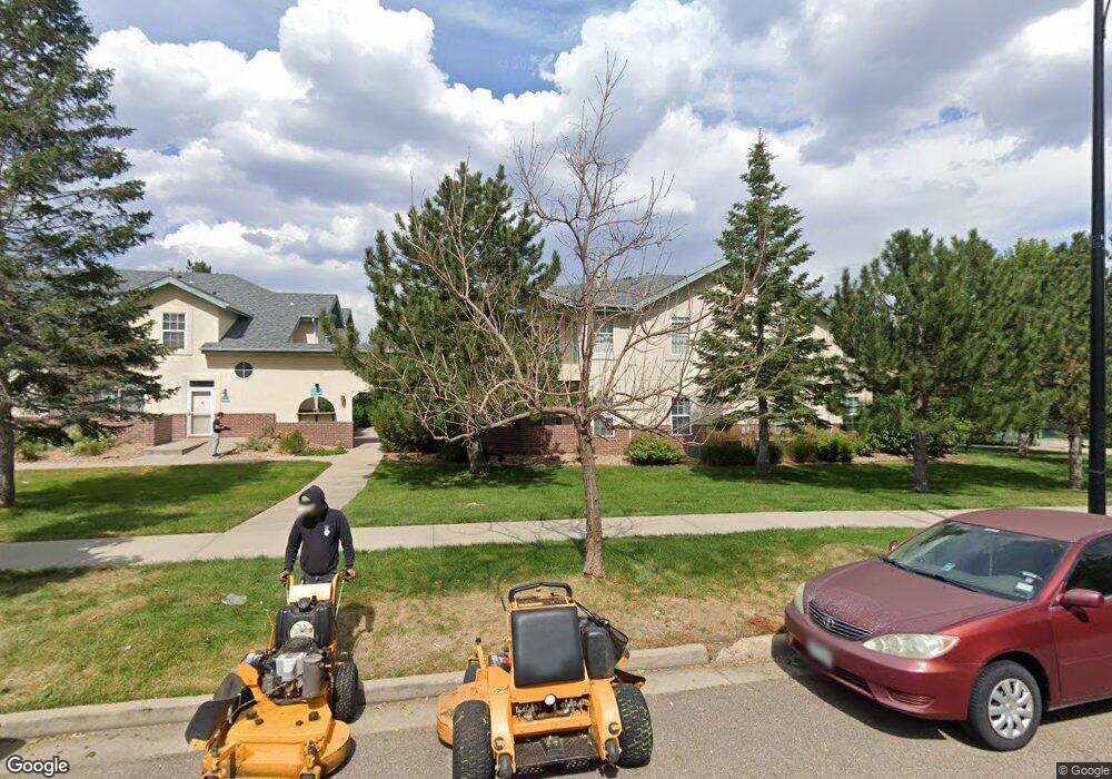
530 Mohawk Dr Unit 92 Boulder, CO 80303
Southeast Boulder NeighborhoodEstimated Value: $514,000 - $544,000
2
Beds
2
Baths
1,111
Sq Ft
$481/Sq Ft
Est. Value
About This Home
This home is located at 530 Mohawk Dr Unit 92, Boulder, CO 80303 and is currently estimated at $534,261, approximately $480 per square foot. 530 Mohawk Dr Unit 92 is a home located in Boulder County with nearby schools including Eisenhower Elementary School, Manhattan Middle School of the Arts & Academics, and Fairview High School.
Ownership History
Date
Name
Owned For
Owner Type
Purchase Details
Closed on
Jan 29, 2020
Sold by
Aguilera Maria Cristina
Bought by
Rlt Maria Cristina Aguilera
Current Estimated Value
Purchase Details
Closed on
Aug 1, 2008
Sold by
The Jorge Family Trust
Bought by
Aguilera Maria Cristina
Purchase Details
Closed on
May 3, 2004
Sold by
Jorge Robert W and Jorge Debra L
Bought by
Jorge Family Trust
Purchase Details
Closed on
Mar 22, 2002
Sold by
Sharp William T
Bought by
Jorge Robert W
Home Financials for this Owner
Home Financials are based on the most recent Mortgage that was taken out on this home.
Original Mortgage
$219,600
Interest Rate
7.11%
Mortgage Type
Balloon
Purchase Details
Closed on
Apr 18, 2000
Sold by
Meadows Venture Ltd Partnership
Bought by
Sharp William T
Home Financials for this Owner
Home Financials are based on the most recent Mortgage that was taken out on this home.
Original Mortgage
$163,900
Interest Rate
7.5%
Create a Home Valuation Report for This Property
The Home Valuation Report is an in-depth analysis detailing your home's value as well as a comparison with similar homes in the area
Home Values in the Area
Average Home Value in this Area
Purchase History
| Date | Buyer | Sale Price | Title Company |
|---|---|---|---|
| Rlt Maria Cristina Aguilera | -- | None Available | |
| Aguilera Maria Cristina | $301,000 | None Available | |
| Jorge Family Trust | -- | -- | |
| Jorge Robert W | $274,500 | -- | |
| Sharp William T | $204,900 | Land Title |
Source: Public Records
Mortgage History
| Date | Status | Borrower | Loan Amount |
|---|---|---|---|
| Previous Owner | Jorge Robert W | $219,600 | |
| Previous Owner | Sharp William T | $163,900 | |
| Closed | Sharp William T | $20,400 |
Source: Public Records
Tax History
| Year | Tax Paid | Tax Assessment Tax Assessment Total Assessment is a certain percentage of the fair market value that is determined by local assessors to be the total taxable value of land and additions on the property. | Land | Improvement |
|---|---|---|---|---|
| 2025 | $3,003 | $39,050 | -- | $39,050 |
| 2024 | $3,003 | $39,050 | -- | $39,050 |
| 2023 | $2,951 | $40,867 | -- | $44,552 |
| 2022 | $3,022 | $39,490 | $0 | $39,490 |
| 2021 | $2,881 | $40,626 | $0 | $40,626 |
| 2020 | $2,563 | $36,594 | $0 | $36,594 |
| 2019 | $2,524 | $36,594 | $0 | $36,594 |
| 2018 | $2,709 | $31,241 | $0 | $31,241 |
| 2017 | $2,624 | $34,538 | $0 | $34,538 |
| 2016 | $2,395 | $27,669 | $0 | $27,669 |
| 2015 | $2,268 | $24,604 | $0 | $24,604 |
| 2014 | $2,115 | $24,604 | $0 | $24,604 |
Source: Public Records
Map
Nearby Homes
- 540 Mohawk Dr Unit 18
- 535 Manhattan Dr Unit 203
- 625 Manhattan Place Unit 308
- 4475 Laguna Place Unit 206
- 4475 Laguna Place Unit 201
- 4500 Baseline Rd Unit 1208
- 695 Manhattan Dr Unit 109
- 695 Manhattan Dr Unit 116
- 695 Manhattan Dr Unit 219
- 665 Manhattan Dr Unit 9
- 230 Pawnee Dr
- 600 Manhattan Dr Unit A7
- 600 Manhattan Dr Unit C7
- 4415 Laguna Place Unit 201
- 4521 Navajo Place
- 4195 Chippewa Dr
- 4800 Osage Dr Unit B-16
- 167 Cherokee Way
- 655 Cree Cir
- 130 Cherokee Way
- 530 Mohawk Dr Unit 96
- 530 Mohawk Dr Unit 95
- 530 Mohawk Dr Unit 94
- 530 Mohawk Dr Unit 93
- 530 Mohawk Dr Unit 91
- 530 Mohawk Dr Unit 90
- 530 Mohawk Dr Unit 89
- 530 Mohawk Dr Unit 88
- 530 Mohawk Dr Unit 87
- 530 Mohawk Dr Unit 86
- 530 Mohawk Dr Unit 85
- 530 Mohawk Dr Unit 84
- 530 Mohawk Dr Unit 83
- 530 Mohawk Dr Unit 82
- 530 Mohawk Dr Unit 81
- 530 Mohawk Dr Unit 80
- 530 Mohawk Dr Unit 79
- 530 Mohawk Dr Unit 78
- 530 Mohawk Dr Unit 77
- 530 Mohawk Dr Unit 76
Your Personal Tour Guide
Ask me questions while you tour the home.