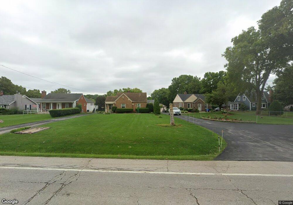
5300 Us Highway 34 Unit B Oswego, IL 60543
Northwest Oswego NeighborhoodEstimated Value: $331,556 - $376,000
1
Bed
1
Bath
2,290
Sq Ft
$156/Sq Ft
Est. Value
About This Home
This home is located at 5300 Us Highway 34 Unit B, Oswego, IL 60543 and is currently estimated at $356,889, approximately $155 per square foot. 5300 Us Highway 34 Unit B is a home located in Kendall County with nearby schools including Hunt Club Elementary School, Traughber Junior High School, and Oswego High School.
Ownership History
Date
Name
Owned For
Owner Type
Purchase Details
Closed on
Jan 31, 1994
Bought by
Harvey David J and Harvey Karen L
Current Estimated Value
Purchase Details
Closed on
Feb 1, 1990
Bought by
Lieser James
Create a Home Valuation Report for This Property
The Home Valuation Report is an in-depth analysis detailing your home's value as well as a comparison with similar homes in the area
Home Values in the Area
Average Home Value in this Area
Purchase History
| Date | Buyer | Sale Price | Title Company |
|---|---|---|---|
| Harvey David J | $45,000 | -- | |
| Lieser James | $54,900 | -- |
Source: Public Records
Mortgage History
| Date | Status | Borrower | Loan Amount |
|---|---|---|---|
| Closed | Lieser James | -- |
Source: Public Records
Tax History Compared to Growth
Tax History
| Year | Tax Paid | Tax Assessment Tax Assessment Total Assessment is a certain percentage of the fair market value that is determined by local assessors to be the total taxable value of land and additions on the property. | Land | Improvement |
|---|---|---|---|---|
| 2024 | $6,125 | $88,378 | $29,947 | $58,431 |
| 2023 | $5,841 | $78,211 | $26,502 | $51,709 |
| 2022 | $5,841 | $71,753 | $24,314 | $47,439 |
| 2021 | $5,453 | $65,230 | $22,104 | $43,126 |
| 2020 | $5,330 | $63,330 | $21,460 | $41,870 |
| 2019 | $5,301 | $62,111 | $21,460 | $40,651 |
| 2018 | $5,337 | $60,715 | $20,978 | $39,737 |
| 2017 | $5,289 | $58,380 | $20,171 | $38,209 |
| 2016 | $5,137 | $56,134 | $19,395 | $36,739 |
| 2015 | $4,944 | $51,976 | $17,958 | $34,018 |
| 2014 | -- | $49,977 | $17,267 | $32,710 |
| 2013 | -- | $52,608 | $18,176 | $34,432 |
Source: Public Records
Map
Nearby Homes
- 114 Riverview Ct
- 5161 US Highway 34
- 123 W Benton St
- 5055 U S 34
- 125 Presidential Blvd Unit 3248
- 505 Parkland Ct
- 613 Murdock Place
- 388 Danforth Dr
- 423 Hathaway Ln
- 610 Murdock Place
- 611 Murdock Place
- 421 Hathaway Ln
- 514 Bentson St
- 403 Lake Ct
- 338 Millstream Ln Unit 1
- 418-420 Monroe St
- 2350 State Route 31
- 602 Clearwater Ct Unit 2
- 34 N Adams St
- 608 Clearwater Ct
- 5300 Us Highway 34 Unit A
- 5354 Us Highway 34 Unit A
- 5354 Us Highway 34 Unit B
- 5288 Us Highway 34
- 5354 Walter Payton Memorial Hwy
- 5272 Us Highway 34
- 5262 Us Highway 34
- 141 Riverview Ct
- 5354B Us Highway 34
- 5254 Us Highway 34
- 144 Riverview Ct
- 5232 Us Highway 34
- 5313 U S 34
- 133 Riverview Ct
- 5277 Us Highway 34
- 146 Riverview Ct
- 5281 Us Highway 34
- 5313 Us Highway 34
- 5226 Us Highway 34
- 55 E Pleasantview Dr