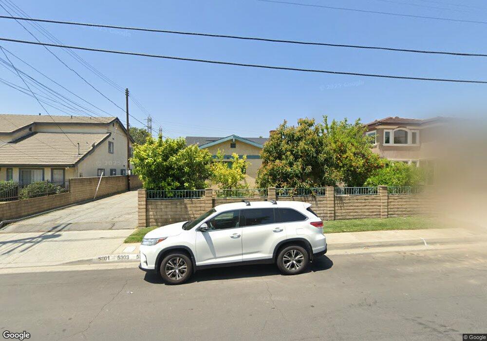
5305 Bartlett Ave San Gabriel, CA 91776
Estimated Value: $817,000 - $1,067,000
3
Beds
2
Baths
1,692
Sq Ft
$550/Sq Ft
Est. Value
About This Home
This home is located at 5305 Bartlett Ave, San Gabriel, CA 91776 and is currently estimated at $930,550, approximately $549 per square foot. 5305 Bartlett Ave is a home located in Los Angeles County with nearby schools including Roosevelt Elementary School, Jefferson Middle School, and Gabrielino High School.
Ownership History
Date
Name
Owned For
Owner Type
Purchase Details
Closed on
Nov 8, 2024
Current Estimated Value
Purchase Details
Closed on
May 11, 2004
Home Financials for this Owner
Home Financials are based on the most recent Mortgage that was taken out on this home.
Original Mortgage
$313,600
Interest Rate
4.87%
Mortgage Type
Purchase Money Mortgage
Purchase Details
Closed on
Mar 14, 1995
Create a Home Valuation Report for This Property
The Home Valuation Report is an in-depth analysis detailing your home's value as well as a comparison with similar homes in the area
Home Values in the Area
Average Home Value in this Area
Purchase History
| Date | Buyer | Sale Price | Title Company |
|---|---|---|---|
| -- | -- | None Listed On Document | |
| -- | -- | None Listed On Document | |
| -- | $392,000 | Fatcola | |
| -- | -- | -- |
Source: Public Records
Mortgage History
| Date | Status | Borrower | Loan Amount |
|---|---|---|---|
| Previous Owner | -- | $313,600 |
Source: Public Records
Tax History
| Year | Tax Paid | Tax Assessment Tax Assessment Total Assessment is a certain percentage of the fair market value that is determined by local assessors to be the total taxable value of land and additions on the property. | Land | Improvement |
|---|---|---|---|---|
| 2025 | $6,878 | $557,320 | $445,863 | $111,457 |
| 2024 | $6,878 | $546,393 | $437,121 | $109,272 |
| 2023 | $6,757 | $535,680 | $428,550 | $107,130 |
| 2022 | $6,461 | $525,178 | $420,148 | $105,030 |
| 2021 | $6,416 | $514,881 | $411,910 | $102,971 |
| 2019 | $6,129 | $499,612 | $399,694 | $99,918 |
| 2018 | $6,048 | $489,816 | $391,857 | $97,959 |
| 2016 | $5,743 | $470,798 | $376,642 | $94,156 |
| 2015 | $5,662 | $463,727 | $370,985 | $92,742 |
| 2014 | $5,618 | $454,644 | $363,718 | $90,926 |
Source: Public Records
Map
Nearby Homes
- 1281 E Broadway
- 290 S Burton Ave
- 5313 Acacia St
- 4057 Highland Ct
- 5239 Rosemead Blvd Unit C
- 5241 Rosemead Blvd Unit B
- 8413 Seth St
- 5241C Rosemead Blvd
- 9040 Broadway
- 5551 N Del Loma Ave
- 1290 Elm Ave Unit D
- 1230 Elm Ave Unit G
- 1200 Elm Ave Unit A
- 5619 Sultana Ave Unit A
- 9109 Olive St
- 5067 Sereno Dr Unit B
- 5651 Sultana Ave Unit C
- 1349 Elm Ave
- 9108 Duffy St
- 5613 N Charlotte Ave
- 5235 Bartlett Ave
- 5309 Bartlett Ave
- 5311 Bartlett Ave
- 5211 Bartlett Ave
- 5303 Bartlett Ave
- 5233 Bartlett Ave
- 5315 Bartlett Ave
- 5229 Bartlett Ave
- 5231 Bartlett Ave
- 5310 Bartlett Ave
- 5301 Bartlett Ave
- 5221 Bartlett Ave
- 5317 Bartlett Ave
- 5232 Bartlett Ave
- 5321 Bartlett Ave
- 5316 Bartlett Ave
- 5219 Bartlett Ave
- 8704 Nadine St
- 5230 Bartlett Ave
- 5238 N Burton Ave
Your Personal Tour Guide
Ask me questions while you tour the home.