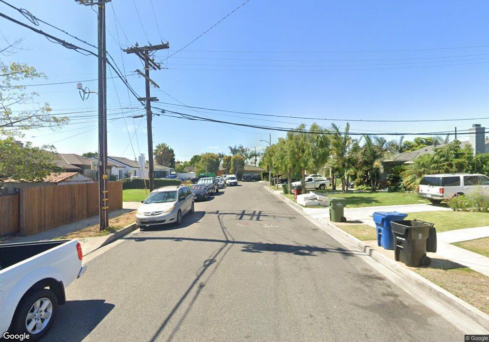
5307 W 97th St Los Angeles, CA 90045
Westchester NeighborhoodEstimated Value: $901,401 - $1,065,000
2
Beds
1
Bath
1,001
Sq Ft
$982/Sq Ft
Est. Value
About This Home
This home is located at 5307 W 97th St, Los Angeles, CA 90045 and is currently estimated at $983,201, approximately $982 per square foot. 5307 W 97th St is a home located in Los Angeles County with nearby schools including Walgrove Avenue Elementary, Wright Middle School STEAM Magnet, and Westchester Enriched Sciences Magnets.
Ownership History
Date
Name
Owned For
Owner Type
Purchase Details
Closed on
Feb 16, 2001
Sold by
Wong Michael P and Cockle Darrin
Bought by
City Of Los Angeles and Board Of Commissioners
Current Estimated Value
Purchase Details
Closed on
Aug 18, 1997
Sold by
Thierjung Peter J and Thierjung Mary A
Bought by
Wong Michael P and Cockle Darrin
Home Financials for this Owner
Home Financials are based on the most recent Mortgage that was taken out on this home.
Original Mortgage
$151,050
Interest Rate
7.45%
Create a Home Valuation Report for This Property
The Home Valuation Report is an in-depth analysis detailing your home's value as well as a comparison with similar homes in the area
Home Values in the Area
Average Home Value in this Area
Purchase History
| Date | Buyer | Sale Price | Title Company |
|---|---|---|---|
| City Of Los Angeles | -- | Provident Title | |
| Wong Michael P | $162,000 | -- |
Source: Public Records
Mortgage History
| Date | Status | Borrower | Loan Amount |
|---|---|---|---|
| Previous Owner | Wong Michael P | $151,050 |
Source: Public Records
Tax History Compared to Growth
Tax History
| Year | Tax Paid | Tax Assessment Tax Assessment Total Assessment is a certain percentage of the fair market value that is determined by local assessors to be the total taxable value of land and additions on the property. | Land | Improvement |
|---|---|---|---|---|
| 2025 | -- | $140,079 | $140,079 | -- |
| 2024 | -- | $140,079 | $140,079 | -- |
| 2023 | -- | $140,079 | $140,079 | -- |
| 2022 | $0 | $140,079 | $140,079 | $0 |
| 2021 | $0 | $140,079 | $140,079 | $0 |
| 2019 | $0 | $140,079 | $140,079 | $0 |
| 2018 | $0 | $140,079 | $140,079 | $0 |
| 2016 | -- | $140,079 | $140,079 | $0 |
| 2015 | -- | $140,079 | $140,079 | $0 |
| 2014 | -- | $140,079 | $140,079 | $0 |
Source: Public Records
Map
Nearby Homes
- 5155 W 104th St
- 4909 W 99th St
- 9027 Ramsgate Ave
- 4828 W 93rd St
- 519 W Elm Ave
- 519 Elm Ave
- 8819 Reading Ave
- 8807 Reading Ave
- 10413 Buford Ave
- 8738 Ramsgate Ave
- 10323 S Inglewood Ave
- 10333 S Inglewood Ave
- 8650 Belford Ave Unit 116A
- 8710 Belford Ave Unit 215B
- 8710 Belford Ave Unit 106B
- 626 S Inglewood Ave
- 913 S Truro Ave
- 8620 Belford Ave Unit 604
- 8620 Belford Ave Unit 608
- 1124 S Truro Ave
- 5319 W 97th St
- 5340 W 96th St
- 9603 Hindry Ave
- 5310 W 97th St
- 5325 W 97th St
- 5320 W 97th St
- 9614 Hindry Ave
- 9606 Hindry Ave
- 9715 Hindry Ave
- 5314 W 96th St
- 5335 W 97th St
- 5335 W 96th St
- 5341 W 96th St
- 9721 Hindry Ave
- 5329 W 96th St
- 5345 W 96th St
- 5323 W 96th St
- 9619 Hindry Place
- 9613 Hindry Place
- 9609 Hindry Place
