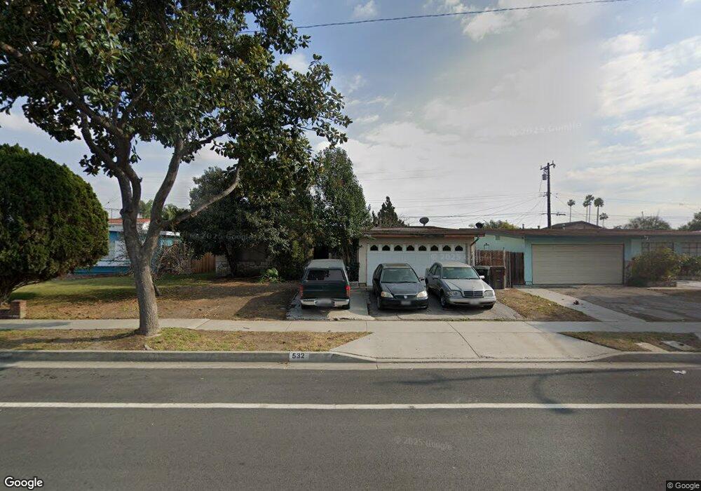
532 Mayland Ave La Puente, CA 91746
Estimated Value: $668,000 - $735,000
4
Beds
2
Baths
1,296
Sq Ft
$541/Sq Ft
Est. Value
About This Home
This home is located at 532 Mayland Ave, La Puente, CA 91746 and is currently estimated at $701,691, approximately $541 per square foot. 532 Mayland Ave is a home located in Los Angeles County with nearby schools including Sunkist Elementary School, Torch Middle School, and Bassett Senior High School.
Ownership History
Date
Name
Owned For
Owner Type
Purchase Details
Closed on
Jul 30, 2024
Sold by
Cabrera Hernaldo Silva
Bought by
Hernaldo Silva Cabrera Family Trust and Cabrera
Current Estimated Value
Purchase Details
Closed on
Jul 29, 2024
Sold by
Silva Hernaldo and Silva Yvonne
Bought by
Cabrera Hernaldo Silva
Purchase Details
Closed on
Mar 26, 2004
Sold by
Silva Hernaldo
Bought by
Silva Hernaldo
Create a Home Valuation Report for This Property
The Home Valuation Report is an in-depth analysis detailing your home's value as well as a comparison with similar homes in the area
Home Values in the Area
Average Home Value in this Area
Purchase History
| Date | Buyer | Sale Price | Title Company |
|---|---|---|---|
| Hernaldo Silva Cabrera Family Trust | -- | None Listed On Document | |
| Cabrera Hernaldo Silva | -- | None Listed On Document | |
| Silva Hernaldo | -- | -- |
Source: Public Records
Tax History
| Year | Tax Paid | Tax Assessment Tax Assessment Total Assessment is a certain percentage of the fair market value that is determined by local assessors to be the total taxable value of land and additions on the property. | Land | Improvement |
|---|---|---|---|---|
| 2025 | $2,745 | $174,688 | $71,038 | $103,650 |
| 2024 | $2,745 | $171,264 | $69,646 | $101,618 |
| 2023 | $2,670 | $167,907 | $68,281 | $99,626 |
| 2022 | $2,567 | $164,616 | $66,943 | $97,673 |
| 2021 | $2,519 | $161,389 | $65,631 | $95,758 |
| 2019 | $2,463 | $156,605 | $63,686 | $92,919 |
| 2018 | $2,317 | $153,536 | $62,438 | $91,098 |
| 2016 | $2,222 | $147,575 | $60,014 | $87,561 |
| 2015 | $2,172 | $145,359 | $59,113 | $86,246 |
| 2014 | $2,085 | $142,513 | $57,956 | $84,557 |
Source: Public Records
Map
Nearby Homes
- 416 Mayland Ave
- 452 Willow Ave
- 436 Willow Ave
- 13622 Hartsville St
- 335 Willow Ave
- 13434 Hutchcroft St
- 536 Sandsprings Dr
- 882 Tamar Dr
- 544 N Orange Ave Unit B
- 14309 Beckner St
- 731 N Orange Ave
- 1003 Le Borgne Ave
- 13540 Valley Blvd
- 736 Tonopah Ave
- 13833 Fairgrove Ave
- 13802 Cagliero St
- 1020 League Ave
- 320 S 5th Ave
- 405 S 3rd Ave
- 1115 League Ave
- 526 Mayland Ave
- 536 Mayland Ave
- 533 N Siesta Ave
- 520 Mayland Ave
- 539 N Siesta Ave
- 527 N Siesta Ave
- 542 Mayland Ave
- 13749 Hartsville St
- 521 N Siesta Ave
- 545 N Siesta Ave
- 514 Mayland Ave
- 13754 Temple Ave
- 13748 Hartsville St
- 515 N Siesta Ave
- 13741 Hartsville St
- 508 Mayland Ave
- 13748 Temple Ave
- 13740 Hartsville St
- 509 N Siesta Ave
- 532 N Siesta Ave
Your Personal Tour Guide
Ask me questions while you tour the home.