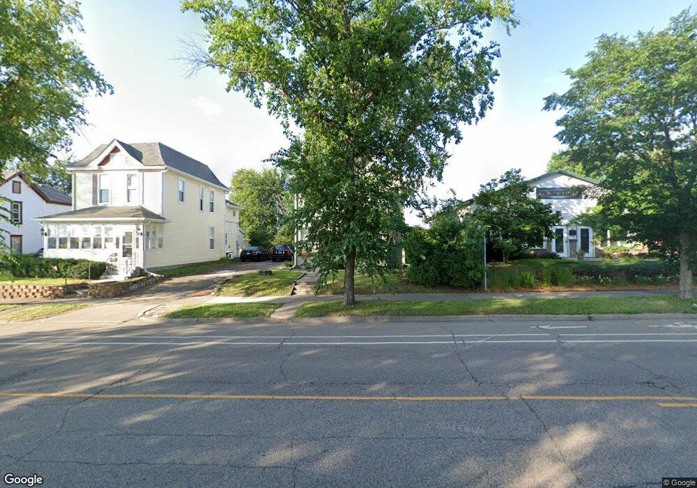
536 Como Ave Saint Paul, MN 55103
North End NeighborhoodEstimated Value: $246,000 - $336,000
3
Beds
2
Baths
1,854
Sq Ft
$150/Sq Ft
Est. Value
About This Home
This home is located at 536 Como Ave, Saint Paul, MN 55103 and is currently estimated at $277,667, approximately $149 per square foot. 536 Como Ave is a home located in Ramsey County with nearby schools including Como Park Elementary School, Murray Middle School, and Como Park Senior High School.
Ownership History
Date
Name
Owned For
Owner Type
Purchase Details
Closed on
Jun 23, 2016
Sold by
Arndt Pearl M
Bought by
Lynch Katherine Ann and Arndt Scott
Current Estimated Value
Home Financials for this Owner
Home Financials are based on the most recent Mortgage that was taken out on this home.
Original Mortgage
$77,330
Interest Rate
3.48%
Mortgage Type
FHA
Create a Home Valuation Report for This Property
The Home Valuation Report is an in-depth analysis detailing your home's value as well as a comparison with similar homes in the area
Home Values in the Area
Average Home Value in this Area
Purchase History
| Date | Buyer | Sale Price | Title Company |
|---|---|---|---|
| Lynch Katherine Ann | $97,878 | C U Title Services Inc |
Source: Public Records
Mortgage History
| Date | Status | Borrower | Loan Amount |
|---|---|---|---|
| Previous Owner | Lynch Katherine Ann | $77,330 |
Source: Public Records
Tax History Compared to Growth
Tax History
| Year | Tax Paid | Tax Assessment Tax Assessment Total Assessment is a certain percentage of the fair market value that is determined by local assessors to be the total taxable value of land and additions on the property. | Land | Improvement |
|---|---|---|---|---|
| 2025 | $3,588 | $258,900 | $25,000 | $233,900 |
| 2023 | $3,588 | $215,000 | $20,000 | $195,000 |
| 2022 | $2,594 | $204,500 | $20,000 | $184,500 |
| 2021 | $2,520 | $170,700 | $20,000 | $150,700 |
| 2020 | $2,302 | $171,700 | $11,700 | $160,000 |
| 2019 | $1,964 | $149,900 | $11,700 | $138,200 |
| 2018 | $1,926 | $129,400 | $11,700 | $117,700 |
| 2017 | $1,692 | $125,700 | $11,700 | $114,000 |
| 2016 | $1,578 | $0 | $0 | $0 |
| 2015 | $1,468 | $102,300 | $11,700 | $90,600 |
| 2014 | $2,924 | $0 | $0 | $0 |
Source: Public Records
Map
Nearby Homes
- 552 Burgess St
- 352 Como Ave
- 569 Hatch Ave
- 1049 Kent St
- 1063 Dale St N
- 956 Western Ave N
- 705 Como Ave
- 511 Van Buren Ave
- 359 Stinson St W
- 631 Van Buren Ave
- 1040 Cumberland St
- 1104 MacKubin St
- 740 Como Ave
- 553 Blair Ave
- 547 Blair Ave
- 646 Van Buren Ave
- 916 Farrington St
- 310 Burgess St
- 306 Burgess St
- 1083 Western Ave N
- 532 Como Ave
- 550 Como Ave
- 528 Como Ave
- 541 Topping St
- 522 Como Ave
- 558 Burgess St
- 533 533 Burgess-Street-
- 533 Burgess St
- 543 Como Ave
- 543 Como Ave Unit 1
- 527 Burgess St
- 527 527 Burgess-Street-
- 523 Burgess St
- 560 Burgess St
- 545 Como Ave
- 549 Como Ave
- 564 Burgess St
- 499 Burgess St
- 560 Como Ave
- 560 Como Ave Unit B