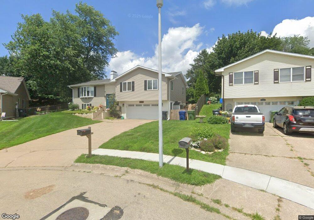
536 Orchard Ct Clinton, IA 52732
Estimated Value: $218,000 - $241,000
3
Beds
2
Baths
1,840
Sq Ft
$124/Sq Ft
Est. Value
About This Home
This home is located at 536 Orchard Ct, Clinton, IA 52732 and is currently estimated at $227,303, approximately $123 per square foot. 536 Orchard Ct is a home located in Clinton County with nearby schools including Whittier Elementary School, Clinton Middle School, and Clinton High School.
Ownership History
Date
Name
Owned For
Owner Type
Purchase Details
Closed on
Aug 22, 2014
Sold by
Pray Megan
Bought by
Pray Megan
Current Estimated Value
Purchase Details
Closed on
May 23, 2009
Sold by
Pottratz David G and Pottratz Alison H
Bought by
Pray Pamela A
Home Financials for this Owner
Home Financials are based on the most recent Mortgage that was taken out on this home.
Original Mortgage
$90,000
Interest Rate
5.38%
Mortgage Type
New Conventional
Create a Home Valuation Report for This Property
The Home Valuation Report is an in-depth analysis detailing your home's value as well as a comparison with similar homes in the area
Home Values in the Area
Average Home Value in this Area
Purchase History
| Date | Buyer | Sale Price | Title Company |
|---|---|---|---|
| Pray Megan | -- | None Available | |
| Pray Pamela A | $165,000 | Stewart Title Guaranty Compa |
Source: Public Records
Mortgage History
| Date | Status | Borrower | Loan Amount |
|---|---|---|---|
| Previous Owner | Pray Pamela A | $90,000 |
Source: Public Records
Tax History Compared to Growth
Tax History
| Year | Tax Paid | Tax Assessment Tax Assessment Total Assessment is a certain percentage of the fair market value that is determined by local assessors to be the total taxable value of land and additions on the property. | Land | Improvement |
|---|---|---|---|---|
| 2025 | $3,476 | $224,090 | $27,400 | $196,690 |
| 2024 | $3,476 | $197,040 | $27,400 | $169,640 |
| 2023 | $3,422 | $197,040 | $27,400 | $169,640 |
| 2022 | $3,572 | $172,280 | $24,740 | $147,540 |
| 2021 | $3,702 | $172,280 | $24,740 | $147,540 |
| 2020 | $3,702 | $168,939 | $16,787 | $152,152 |
| 2019 | $3,822 | $168,939 | $0 | $0 |
| 2018 | $3,642 | $168,939 | $0 | $0 |
| 2017 | $3,750 | $165,652 | $0 | $0 |
| 2016 | $3,626 | $165,652 | $0 | $0 |
| 2015 | $3,626 | $165,652 | $0 | $0 |
| 2014 | $3,842 | $165,652 | $0 | $0 |
| 2013 | $3,584 | $0 | $0 | $0 |
Source: Public Records
Map
Nearby Homes
- 1510 7th Ave S
- 1813 Zara Trace St
- 1836 Zara Trace
- 1830 Zara Trace
- 1824 Zara Trace
- 1818 Zara Trace
- 1825 5th Ave S
- 1400 8th Ave S
- 1330 Florence Ave
- 716 Terrace Dr
- 1315 Caroline Ave
- 1301 Caroline Ave
- 1924 Zara Trace
- 1916 Zara Trace
- 1908 Zara Trace
- 1940 Zara Trace
- 819 Millcrest Ct
- 1805 Zara Trace
- 1825 Zara Trace
- 1819 Zara Trace