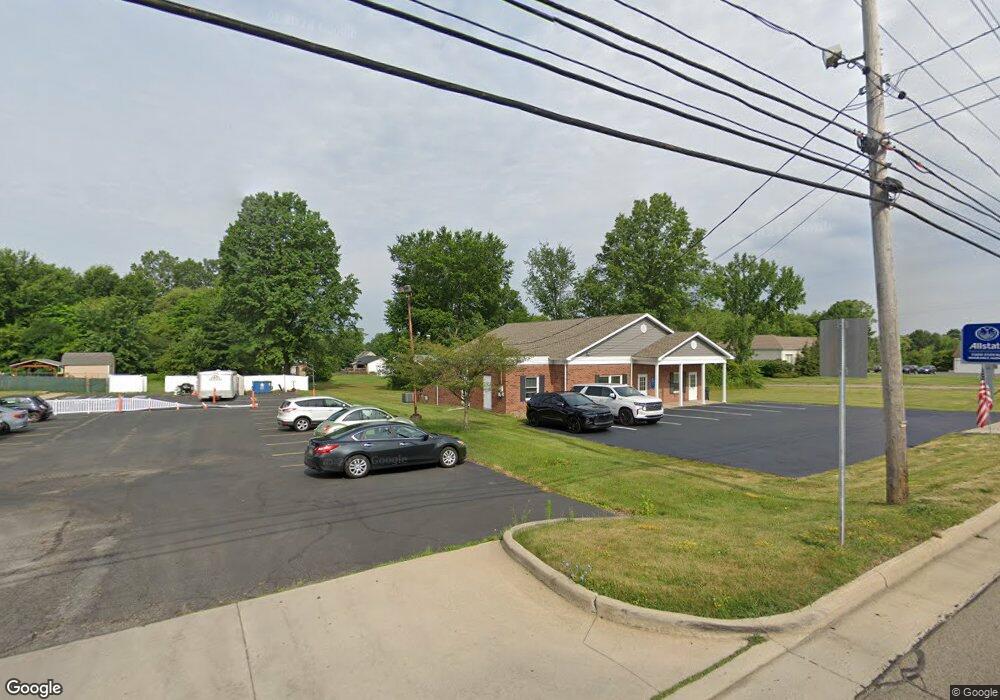
538 S Canfield-Niles Rd Youngstown, OH 44515
Austintown NeighborhoodEstimated Value: $216,990
--
Bed
--
Bath
2,710
Sq Ft
$80/Sq Ft
Est. Value
About This Home
This home is located at 538 S Canfield-Niles Rd, Youngstown, OH 44515 and is currently estimated at $216,990, approximately $80 per square foot. 538 S Canfield-Niles Rd is a home located in Mahoning County with nearby schools including Austintown Elementary School, Austintown Intermediate School, and Austintown Middle School.
Ownership History
Date
Name
Owned For
Owner Type
Purchase Details
Closed on
Nov 18, 2019
Sold by
Austintown Daycare Learning Center Inc
Bought by
Trs Property Group Llc
Current Estimated Value
Purchase Details
Closed on
Dec 1, 1994
Sold by
Apple Investments Inc
Bought by
Padgitt Gary R and Padgitt Roberta
Purchase Details
Closed on
Jan 1, 1990
Bought by
Apple Investments Inc
Create a Home Valuation Report for This Property
The Home Valuation Report is an in-depth analysis detailing your home's value as well as a comparison with similar homes in the area
Home Values in the Area
Average Home Value in this Area
Purchase History
| Date | Buyer | Sale Price | Title Company |
|---|---|---|---|
| Trs Property Group Llc | $120,000 | None Available | |
| Padgitt Gary R | $165,000 | -- | |
| Apple Investments Inc | -- | -- |
Source: Public Records
Tax History Compared to Growth
Tax History
| Year | Tax Paid | Tax Assessment Tax Assessment Total Assessment is a certain percentage of the fair market value that is determined by local assessors to be the total taxable value of land and additions on the property. | Land | Improvement |
|---|---|---|---|---|
| 2024 | $6,262 | $93,310 | $46,830 | $46,480 |
| 2023 | $6,211 | $93,310 | $46,830 | $46,480 |
| 2022 | $5,669 | $76,600 | $40,150 | $36,450 |
| 2021 | $5,693 | $76,600 | $40,150 | $36,450 |
| 2020 | $5,742 | $76,600 | $40,150 | $36,450 |
| 2019 | $5,735 | $76,570 | $40,150 | $36,420 |
| 2018 | $6,433 | $76,570 | $40,150 | $36,420 |
| 2017 | $5,556 | $76,570 | $40,150 | $36,420 |
| 2016 | $5,676 | $77,060 | $40,150 | $36,910 |
| 2015 | $5,766 | $77,060 | $40,150 | $36,910 |
| 2014 | $5,506 | $77,060 | $40,150 | $36,910 |
| 2013 | $5,441 | $77,060 | $40,150 | $36,910 |
Source: Public Records
Map
Nearby Homes
- 5559 London Dr
- 5640 Baylor Ave
- 5318 Pinecrest Ave
- 0 Madrid Dr
- 701 Oberlin Place
- 3794-3796 Mahoning Ave
- 5677 Mahoning Ave
- 148 Marcia Dr
- 5109 W Elmwood Ave
- 316 S Inglewood Ave
- 5179 Willow Crest Ave
- 124 S Inglewood Ave
- 5678 Cider Mill Crossing
- 519 Wilcox Rd Unit A
- 5256 S Saratoga Ave
- 125 Fitch Blvd Unit 224
- 557 Wilcox Rd Unit A
- 111 Ohltown Rd
- 5451 Virginia Dr
- 138 N Canfield Niles Rd
- 5506 Colgate Ave
- 5511 Colgate Ave
- 666 S Canfield Niles Rd
- 5517 Colgate Ave
- 595 S Canfield Niles Rd
- 670 S Canfield Niles Rd
- 651 S Canfield Niles Rd
- 603 S Canfield Niles Rd
- 5523 Colgate Ave
- 730 S Canfield Niles Rd
- 713 S Canfield Niles Rd
- 543 Purdue Ave
- 5547 Colgate Ave
- 549 Purdue Ave
- 555 Purdue Ave
- 469 S Canfield Niles Rd
- 5530 Colgate Ave
- 561 Purdue Ave
- 733 S Canfield Niles Rd
- 567 Purdue Ave