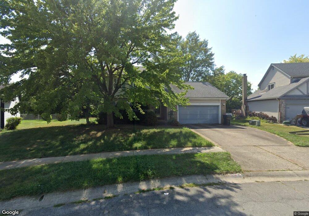
539 Corral Gate Ct Unit C Galloway, OH 43119
Westchester-Green Countrie NeighborhoodEstimated Value: $292,000 - $310,000
3
Beds
3
Baths
1,478
Sq Ft
$205/Sq Ft
Est. Value
About This Home
This home is located at 539 Corral Gate Ct Unit C, Galloway, OH 43119 and is currently estimated at $302,357, approximately $204 per square foot. 539 Corral Gate Ct Unit C is a home located in Franklin County with nearby schools including Darby Woods Elementary School, Galloway Ridge Intermediate School, and Pleasant View Middle School.
Ownership History
Date
Name
Owned For
Owner Type
Purchase Details
Closed on
Oct 31, 2001
Sold by
Vesco Daniel J and Vesco Cheryl L
Bought by
Herrell James
Current Estimated Value
Home Financials for this Owner
Home Financials are based on the most recent Mortgage that was taken out on this home.
Original Mortgage
$120,988
Outstanding Balance
$47,183
Interest Rate
6.69%
Mortgage Type
FHA
Estimated Equity
$255,174
Purchase Details
Closed on
Jan 26, 1987
Bought by
Vesco Daniel J and Vesco Cheryl L
Purchase Details
Closed on
Sep 1, 1986
Purchase Details
Closed on
Aug 1, 1986
Create a Home Valuation Report for This Property
The Home Valuation Report is an in-depth analysis detailing your home's value as well as a comparison with similar homes in the area
Home Values in the Area
Average Home Value in this Area
Purchase History
| Date | Buyer | Sale Price | Title Company |
|---|---|---|---|
| Herrell James | $122,900 | Chicago Title | |
| Vesco Daniel J | $73,700 | -- | |
| -- | $18,000 | -- | |
| -- | -- | -- |
Source: Public Records
Mortgage History
| Date | Status | Borrower | Loan Amount |
|---|---|---|---|
| Open | Herrell James | $120,988 |
Source: Public Records
Tax History Compared to Growth
Tax History
| Year | Tax Paid | Tax Assessment Tax Assessment Total Assessment is a certain percentage of the fair market value that is determined by local assessors to be the total taxable value of land and additions on the property. | Land | Improvement |
|---|---|---|---|---|
| 2024 | $3,270 | $89,680 | $26,010 | $63,670 |
| 2023 | $3,212 | $89,670 | $26,005 | $63,665 |
| 2022 | $2,520 | $51,630 | $11,760 | $39,870 |
| 2021 | $2,570 | $51,630 | $11,760 | $39,870 |
| 2020 | $2,556 | $51,630 | $11,760 | $39,870 |
| 2019 | $2,380 | $42,420 | $9,800 | $32,620 |
| 2018 | $2,345 | $42,420 | $9,800 | $32,620 |
| 2017 | $2,358 | $42,420 | $9,800 | $32,620 |
| 2016 | $2,321 | $38,360 | $9,590 | $28,770 |
| 2015 | $2,321 | $38,360 | $9,590 | $28,770 |
| 2014 | $2,323 | $38,360 | $9,590 | $28,770 |
| 2013 | $1,212 | $40,355 | $10,080 | $30,275 |
Source: Public Records
Map
Nearby Homes
- 5722 Silver Spurs Ln
- 440 Northforty Dr
- 5715 Oyster Bay Way
- 494 Pamlico St Unit T-6
- 5728 Greendale Dr
- 452 Pamlico St Unit 9
- 773 Rothrock Dr
- 5824 Hunting Hollow Ct Unit 5824-5826
- 515 Clairbrook Ave
- 477 Clairbrook Ave
- 631 Dlyn St Unit 12
- 491 Clairbrook Ave Unit 3
- 844 Spivey Ln
- 542 Clairbrook Ave Unit 11
- 579 Simbury St Unit B9
- 349 Ravensdale Place
- 813 Sumter St
- 671 Simbury St
- 603 Gleaming Dr Unit 259
- 866 Riggsby Rd
- 539 Corral Gate Ct
- 533 Corral Gate Ct
- 545 Corral Gate Ct
- 527 Corral Gate Ct
- 551 Corral Gate Ct
- 536 Corral Gate Ct
- 524 Corral Gate Ct
- 557 Corral Gate Ct
- 521 Corral Gate Ct
- 626 Bantry Bay Ct
- 512 Corral Gate Ct
- 602 Mustang Canyon Dr
- 602 Mustang Canyon Dr Unit 43119
- 596 Mustang Canyon Dr
- 608 Mustang Canyon Dr
- 563 Corral Gate Ct
- 548 Corral Gate Ct
- 515 Corral Gate Ct
- 614 Mustang Canyon Dr
- 500 Corral Gate Ct