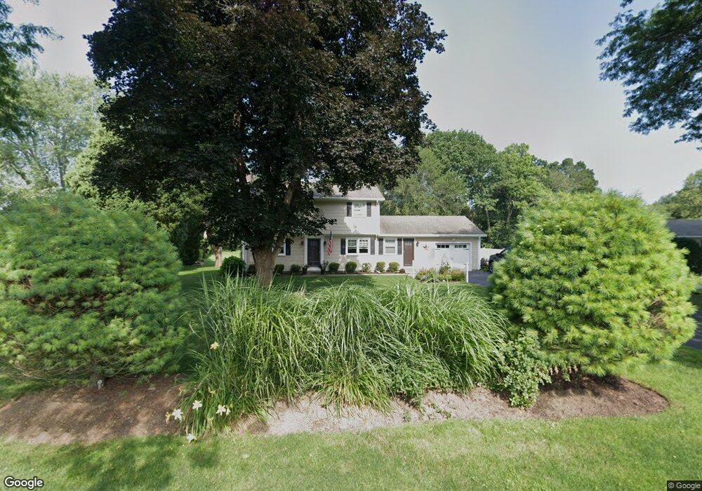
54 Gore Ave Hatfield, MA 01038
Estimated Value: $524,604 - $669,000
4
Beds
2
Baths
2,405
Sq Ft
$240/Sq Ft
Est. Value
About This Home
This home is located at 54 Gore Ave, Hatfield, MA 01038 and is currently estimated at $577,901, approximately $240 per square foot. 54 Gore Ave is a home located in Hampshire County with nearby schools including Hatfield Elementary School and Smith Academy.
Create a Home Valuation Report for This Property
The Home Valuation Report is an in-depth analysis detailing your home's value as well as a comparison with similar homes in the area
Home Values in the Area
Average Home Value in this Area
Tax History
| Year | Tax Paid | Tax Assessment Tax Assessment Total Assessment is a certain percentage of the fair market value that is determined by local assessors to be the total taxable value of land and additions on the property. | Land | Improvement |
|---|---|---|---|---|
| 2025 | $5,861 | $423,500 | $149,900 | $273,600 |
| 2024 | $5,643 | $368,600 | $130,600 | $238,000 |
| 2023 | $4,705 | $349,000 | $124,200 | $224,800 |
| 2022 | $4,570 | $334,300 | $117,700 | $216,600 |
| 2021 | $4,358 | $307,100 | $107,000 | $200,100 |
| 2020 | $4,155 | $307,100 | $107,000 | $200,100 |
| 2019 | $4,163 | $299,700 | $104,900 | $194,800 |
| 2018 | $4,033 | $297,000 | $104,900 | $192,100 |
| 2017 | $3,860 | $292,000 | $104,900 | $187,100 |
| 2016 | $3,826 | $290,300 | $104,900 | $185,400 |
| 2015 | $3,578 | $271,700 | $94,200 | $177,500 |
| 2014 | $3,440 | $271,500 | $94,200 | $177,300 |
Source: Public Records
Map
Nearby Homes
- 71 Chestnut St
- 18 Elm St
- 43 Laurel Park Unit 43
- 149 Prospect St
- 0 Straits Rd
- 58 Main St Unit 4
- 58 Main St Unit 3
- 59 N Hatfield Rd
- 32 Stonewall Dr
- 0 N Branch Rd
- 11 West St
- 88 Pines Edge Dr Unit 88
- 80 Damon Rd Unit 8201
- 80 Damon Rd Unit 5104
- 80 Damon Rd Unit 4302
- 27 River Dr
- 26 Russell St Unit A-B
- 151 Pantry Rd
- 289 Hatfield St
- 22 Woodbine Ave
Your Personal Tour Guide
Ask me questions while you tour the home.