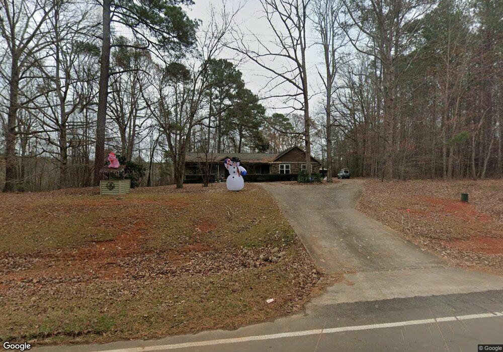
540 Barnes Rd Middlesex, NC 27557
Estimated Value: $267,000 - $325,684
3
Beds
1
Bath
1,912
Sq Ft
$155/Sq Ft
Est. Value
About This Home
This home is located at 540 Barnes Rd, Middlesex, NC 27557 and is currently estimated at $296,421, approximately $155 per square foot. 540 Barnes Rd is a home located in Johnston County with nearby schools including Corinth Holders Elementary School, Archer Lodge Middle School, and Corinth Holders High School.
Ownership History
Date
Name
Owned For
Owner Type
Purchase Details
Closed on
Feb 16, 2005
Sold by
Barbour Odessa D and Barbour James P
Bought by
Benson Tracy Diane and Benson Carl Allan
Current Estimated Value
Home Financials for this Owner
Home Financials are based on the most recent Mortgage that was taken out on this home.
Original Mortgage
$85,000
Interest Rate
5.69%
Mortgage Type
Purchase Money Mortgage
Purchase Details
Closed on
Jul 1, 2004
Sold by
Barbour James Paul
Bought by
Ellis Billie Ray
Create a Home Valuation Report for This Property
The Home Valuation Report is an in-depth analysis detailing your home's value as well as a comparison with similar homes in the area
Home Values in the Area
Average Home Value in this Area
Purchase History
| Date | Buyer | Sale Price | Title Company |
|---|---|---|---|
| Benson Tracy Diane | $90,000 | None Available | |
| Ellis Billie Ray | $15,000 | -- |
Source: Public Records
Mortgage History
| Date | Status | Borrower | Loan Amount |
|---|---|---|---|
| Closed | Benson Tracy Diane | $85,000 |
Source: Public Records
Tax History
| Year | Tax Paid | Tax Assessment Tax Assessment Total Assessment is a certain percentage of the fair market value that is determined by local assessors to be the total taxable value of land and additions on the property. | Land | Improvement |
|---|---|---|---|---|
| 2025 | $1,886 | $296,840 | $52,000 | $244,840 |
| 2024 | $1,433 | $176,760 | $24,960 | $151,800 |
| 2023 | $1,398 | $176,760 | $24,960 | $151,800 |
| 2022 | $1,434 | $176,760 | $24,960 | $151,800 |
| 2021 | $1,434 | $176,760 | $24,960 | $151,800 |
| 2020 | $1,561 | $176,760 | $24,960 | $151,800 |
| 2019 | $1,576 | $176,760 | $24,960 | $151,800 |
| 2018 | $1,419 | $153,070 | $22,880 | $130,190 |
| 2017 | $1,407 | $153,070 | $22,880 | $130,190 |
| 2016 | $986 | $99,190 | $22,880 | $76,310 |
| 2015 | $1,004 | $99,190 | $22,880 | $76,310 |
| 2014 | $1,004 | $99,190 | $22,880 | $76,310 |
Source: Public Records
Map
Nearby Homes
- 35 Chester Ln
- 6571 N Carolina 231
- 126 Arrow Ln
- 216 Bullseye Ct
- 211 Bullseye Ct
- 181 Bullseye Ct
- 186 Bullseye Ct
- 197 Bullseye Ct
- 10910 Nc 222 Hwy W
- 248 Bullseye Ct
- 232 Bullseye Ct
- 54 Cupid Ct
- 70 Cupid Ct
- 55 Cupid Ct
- 69 Cupid Ct
- 144 S Sunny Dale Dr
- 64 Doughty Ln Unit E
- 258 Northview Dr Unit Lot 26
- 287 Northview Dr
- 178 Prency Ln
Your Personal Tour Guide
Ask me questions while you tour the home.