540 E Bennington Rd Waterloo, IA 50703
Estimated Value: $276,000 - $459,000
4
Beds
2
Baths
2,040
Sq Ft
$186/Sq Ft
Est. Value
About This Home
This home is located at 540 E Bennington Rd, Waterloo, IA 50703 and is currently estimated at $379,407, approximately $185 per square foot. 540 E Bennington Rd is a home located in Black Hawk County with nearby schools including Denver Elementary School, Denver Middle School, and Denver Senior High School.
Ownership History
Date
Name
Owned For
Owner Type
Purchase Details
Closed on
Jan 14, 2008
Sold by
Deutsche Bank National Trust Co
Bought by
Hovey Christopher M and Richter Jennifer L
Current Estimated Value
Home Financials for this Owner
Home Financials are based on the most recent Mortgage that was taken out on this home.
Original Mortgage
$122,000
Outstanding Balance
$75,998
Interest Rate
6.17%
Mortgage Type
New Conventional
Estimated Equity
$303,409
Create a Home Valuation Report for This Property
The Home Valuation Report is an in-depth analysis detailing your home's value as well as a comparison with similar homes in the area
Purchase History
| Date | Buyer | Sale Price | Title Company |
|---|---|---|---|
| Hovey Christopher M | $122,000 | Title Services Corporation |
Source: Public Records
Mortgage History
| Date | Status | Borrower | Loan Amount |
|---|---|---|---|
| Open | Hovey Christopher M | $122,000 |
Source: Public Records
Tax History
| Year | Tax Paid | Tax Assessment Tax Assessment Total Assessment is a certain percentage of the fair market value that is determined by local assessors to be the total taxable value of land and additions on the property. | Land | Improvement |
|---|---|---|---|---|
| 2025 | $4,080 | $366,550 | $87,490 | $279,060 |
| 2024 | $4,080 | $320,540 | $75,000 | $245,540 |
| 2023 | $4,324 | $320,540 | $75,000 | $245,540 |
| 2022 | $3,522 | $293,600 | $62,500 | $231,100 |
| 2021 | $2,716 | $250,480 | $62,500 | $187,980 |
| 2020 | $2,630 | $189,800 | $51,250 | $138,550 |
| 2019 | $2,630 | $189,800 | $51,250 | $138,550 |
| 2018 | $2,470 | $176,660 | $51,250 | $125,410 |
| 2017 | $2,468 | $176,660 | $51,250 | $125,410 |
| 2016 | $2,370 | $176,660 | $51,250 | $125,410 |
| 2015 | $2,370 | $176,660 | $51,250 | $125,410 |
| 2014 | $2,392 | $178,280 | $51,250 | $127,030 |
Source: Public Records
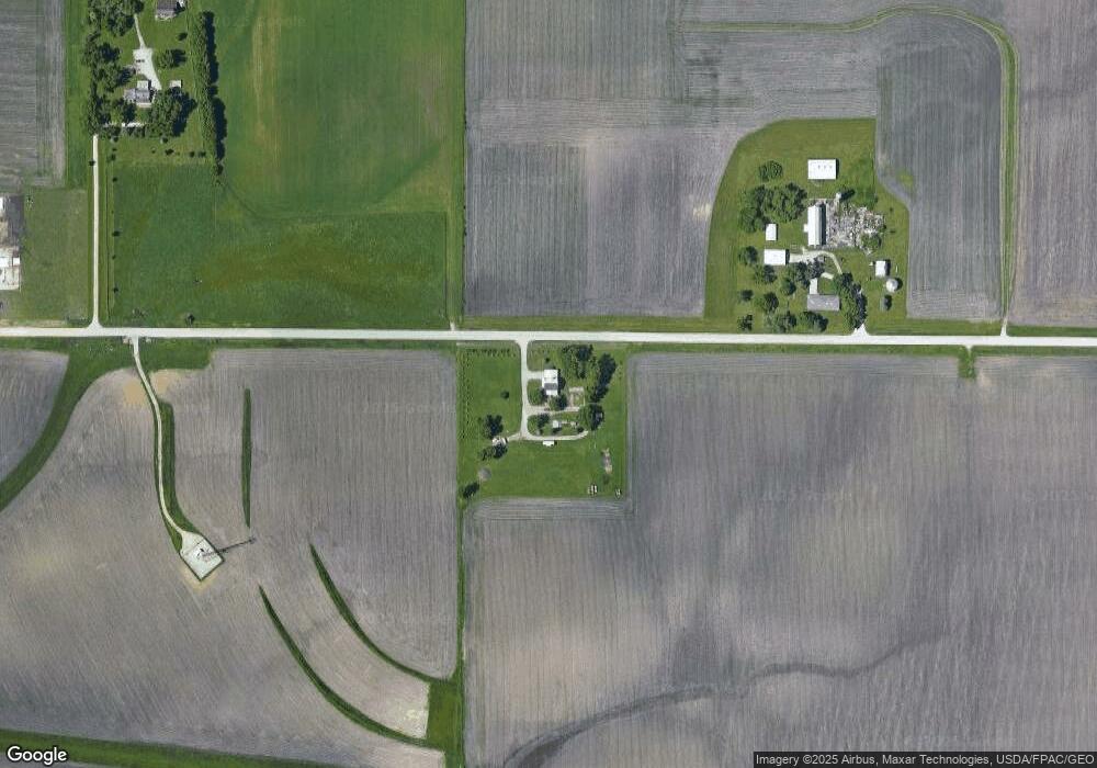
Map
Nearby Homes
- 20+ Acres Corner of Airline and Logan
- 2556 Logan Ave
- 2717 E Airline Hwy
- 820 S Schneider St
- 900 S Schneider St
- 745 Schumacher Blvd
- 630 Schumacher Blvd
- 830 S Mill St
- 820 S Mill St
- 810 S Mill St
- 800 S Mill St
- 431 Schumacher Blvd
- 0 State St Unit NBR20252861
- 230 Schumacher Blvd
- 760 S Mill St
- 221 Prestien Dr
- 930 Prestien Dr
- Lots Lakeside St
- 2906 Niles St
- 965 E Donald St
- 701 E Bennington Rd
- 317 E Bennington Rd
- 217 E Bennington Rd
- 110 E Bennington Rd
- 7014 Moline Rd
- 2 W Bennington Rd
- 1 W Bennington Rd
- 6921 Logan Ave
- 6845 Logan Ave Unit 6921
- 7443 Moline Rd
- 1303 E Bennington Rd
- 6839 Logan Ave
- 7338 Moline Rd
- 6493 Logan Ave
- 6469 Logan Ave
- 7501 Logan Ave
- 6450 Cutler St
- 6421 Logan Ave
- 6493 Cutler St
- 6469 Cutler St
Your Personal Tour Guide
Ask me questions while you tour the home.