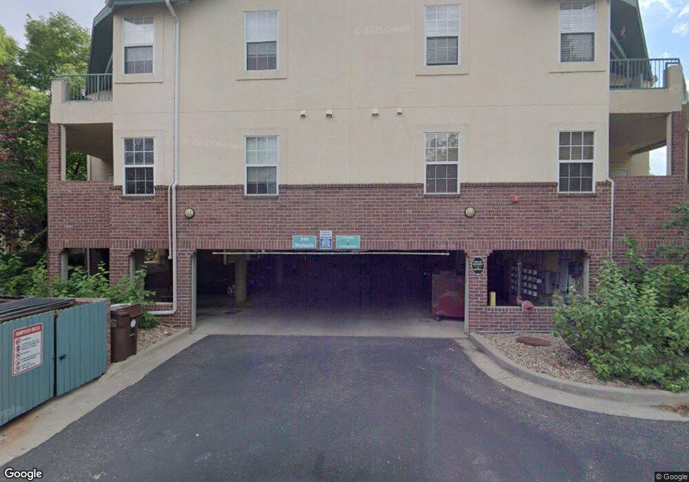
540 Mohawk Dr Unit 12 Boulder, CO 80303
Southeast Boulder NeighborhoodEstimated Value: $503,000 - $551,000
2
Beds
2
Baths
1,109
Sq Ft
$472/Sq Ft
Est. Value
About This Home
This home is located at 540 Mohawk Dr Unit 12, Boulder, CO 80303 and is currently estimated at $522,929, approximately $471 per square foot. 540 Mohawk Dr Unit 12 is a home located in Boulder County with nearby schools including Eisenhower Elementary School, Manhattan Middle School of the Arts & Academics, and Fairview High School.
Ownership History
Date
Name
Owned For
Owner Type
Purchase Details
Closed on
May 14, 2005
Sold by
Clark Donald R and Clark Holly H
Bought by
The Donald Robert Clark Trust and The Holly Harkness Clark Trust
Current Estimated Value
Purchase Details
Closed on
Apr 12, 2001
Sold by
Knisley Douglas J and Walsh Geraldine R
Bought by
Clark Holly H
Home Financials for this Owner
Home Financials are based on the most recent Mortgage that was taken out on this home.
Original Mortgage
$220,500
Interest Rate
7.1%
Purchase Details
Closed on
Apr 2, 1999
Sold by
Meadows Venture Ltd Partnership
Bought by
Knisley Douglas J
Home Financials for this Owner
Home Financials are based on the most recent Mortgage that was taken out on this home.
Original Mortgage
$138,000
Interest Rate
6.89%
Create a Home Valuation Report for This Property
The Home Valuation Report is an in-depth analysis detailing your home's value as well as a comparison with similar homes in the area
Home Values in the Area
Average Home Value in this Area
Purchase History
| Date | Buyer | Sale Price | Title Company |
|---|---|---|---|
| The Donald Robert Clark Trust | -- | -- | |
| Clark Holly H | $245,000 | -- | |
| Knisley Douglas J | $172,825 | Land Title |
Source: Public Records
Mortgage History
| Date | Status | Borrower | Loan Amount |
|---|---|---|---|
| Previous Owner | Clark Holly H | $220,500 | |
| Previous Owner | Knisley Douglas J | $138,000 |
Source: Public Records
Tax History
| Year | Tax Paid | Tax Assessment Tax Assessment Total Assessment is a certain percentage of the fair market value that is determined by local assessors to be the total taxable value of land and additions on the property. | Land | Improvement |
|---|---|---|---|---|
| 2025 | $3,322 | $35,888 | -- | $35,888 |
| 2024 | $3,322 | $35,888 | -- | $35,888 |
| 2023 | $3,262 | $36,904 | -- | $40,589 |
| 2022 | $3,514 | $37,030 | $0 | $37,030 |
| 2021 | $3,354 | $38,095 | $0 | $38,095 |
| 2020 | $2,984 | $34,277 | $0 | $34,277 |
| 2019 | $2,938 | $34,277 | $0 | $34,277 |
| 2018 | $2,411 | $27,814 | $0 | $27,814 |
| 2017 | $2,336 | $30,749 | $0 | $30,749 |
| 2016 | $2,394 | $27,653 | $0 | $27,653 |
| 2015 | $2,267 | $22,089 | $0 | $22,089 |
| 2014 | $1,899 | $22,089 | $0 | $22,089 |
Source: Public Records
Map
Nearby Homes
- 540 Mohawk Dr Unit 18
- 4475 Laguna Place Unit 206
- 4475 Laguna Place Unit 201
- 4500 Baseline Rd Unit 1208
- 625 Manhattan Place Unit 308
- 535 Manhattan Dr Unit 203
- 4415 Laguna Place Unit 201
- 695 Manhattan Dr Unit 109
- 695 Manhattan Dr Unit 116
- 695 Manhattan Dr Unit 219
- 665 Manhattan Dr Unit 9
- 230 Pawnee Dr
- 600 Manhattan Dr Unit A7
- 600 Manhattan Dr Unit C7
- 4195 Chippewa Dr
- 4521 Navajo Place
- 4800 Osage Dr Unit B-16
- 167 Cherokee Way
- 655 Cree Cir
- 875 Orman Dr
- 540 Mohawk Dr Unit 24
- 540 Mohawk Dr Unit 23
- 540 Mohawk Dr Unit 22
- 540 Mohawk Dr Unit 21
- 540 Mohawk Dr Unit 20
- 540 Mohawk Dr Unit 19
- 540 Mohawk Dr Unit 17
- 540 Mohawk Dr Unit 16
- 540 Mohawk Dr Unit 15
- 540 Mohawk Dr Unit 14
- 540 Mohawk Dr Unit 13
- 540 Mohawk Dr Unit 11
- 540 Mohawk Dr Unit 10
- 540 Mohawk Dr Unit 9
- 540 Mohawk Dr Unit 8
- 540 Mohawk Dr Unit 7
- 540 Mohawk Dr Unit 6
- 540 Mohawk Dr Unit 5
- 540 Mohawk Dr Unit 4
- 540 Mohawk Dr Unit 3
Your Personal Tour Guide
Ask me questions while you tour the home.