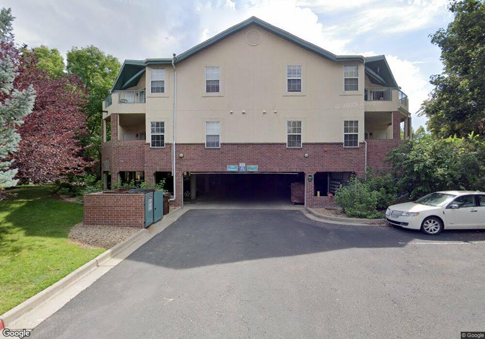
540 Mohawk Dr Unit 21 Boulder, CO 80303
Southeast Boulder NeighborhoodEstimated Value: $525,064 - $555,000
2
Beds
2
Baths
1,111
Sq Ft
$488/Sq Ft
Est. Value
About This Home
This home is located at 540 Mohawk Dr Unit 21, Boulder, CO 80303 and is currently estimated at $542,016, approximately $487 per square foot. 540 Mohawk Dr Unit 21 is a home located in Boulder County with nearby schools including Eisenhower Elementary School, Manhattan Middle School of the Arts & Academics, and Fairview High School.
Ownership History
Date
Name
Owned For
Owner Type
Purchase Details
Closed on
Aug 29, 2008
Sold by
Spray Mark V and Spray Cynthia M
Bought by
Macdonald Michelle
Current Estimated Value
Home Financials for this Owner
Home Financials are based on the most recent Mortgage that was taken out on this home.
Original Mortgage
$190,000
Outstanding Balance
$126,497
Interest Rate
6.54%
Mortgage Type
Purchase Money Mortgage
Estimated Equity
$415,519
Purchase Details
Closed on
Apr 14, 1999
Sold by
Meadows Venture Ltd Partnership
Bought by
Spray Mark
Home Financials for this Owner
Home Financials are based on the most recent Mortgage that was taken out on this home.
Original Mortgage
$145,800
Interest Rate
7.06%
Create a Home Valuation Report for This Property
The Home Valuation Report is an in-depth analysis detailing your home's value as well as a comparison with similar homes in the area
Home Values in the Area
Average Home Value in this Area
Purchase History
| Date | Buyer | Sale Price | Title Company |
|---|---|---|---|
| Macdonald Michelle | $302,844 | None Available | |
| Spray Mark | $182,295 | Land Title |
Source: Public Records
Mortgage History
| Date | Status | Borrower | Loan Amount |
|---|---|---|---|
| Open | Macdonald Michelle | $190,000 | |
| Previous Owner | Spray Mark | $145,800 |
Source: Public Records
Tax History
| Year | Tax Paid | Tax Assessment Tax Assessment Total Assessment is a certain percentage of the fair market value that is determined by local assessors to be the total taxable value of land and additions on the property. | Land | Improvement |
|---|---|---|---|---|
| 2025 | $3,488 | $37,300 | -- | $37,300 |
| 2024 | $3,488 | $37,300 | -- | $37,300 |
| 2023 | $3,425 | $38,790 | -- | $42,475 |
| 2022 | $3,614 | $38,107 | $0 | $38,107 |
| 2021 | $3,449 | $39,203 | $0 | $39,203 |
| 2020 | $2,986 | $34,306 | $0 | $34,306 |
| 2019 | $2,940 | $34,306 | $0 | $34,306 |
| 2018 | $2,495 | $28,778 | $0 | $28,778 |
| 2017 | $2,417 | $31,816 | $0 | $31,816 |
| 2016 | $2,395 | $27,669 | $0 | $27,669 |
| 2015 | $2,268 | $23,227 | $0 | $23,227 |
| 2014 | $1,997 | $23,227 | $0 | $23,227 |
Source: Public Records
Map
Nearby Homes
- 540 Mohawk Dr Unit 18
- 4475 Laguna Place Unit 206
- 4475 Laguna Place Unit 201
- 4500 Baseline Rd Unit 1208
- 625 Manhattan Place Unit 308
- 4415 Laguna Place Unit 201
- 695 Manhattan Dr Unit 109
- 695 Manhattan Dr Unit 116
- 695 Manhattan Dr Unit 219
- 665 Manhattan Dr Unit 9
- 230 Pawnee Dr
- 600 Manhattan Dr Unit A7
- 600 Manhattan Dr Unit C7
- 4195 Chippewa Dr
- 4521 Navajo Place
- 4800 Osage Dr Unit B-16
- 167 Cherokee Way
- 655 Cree Cir
- 875 Orman Dr
- 130 Cherokee Way
- 540 Mohawk Dr Unit 24
- 540 Mohawk Dr Unit 23
- 540 Mohawk Dr Unit 22
- 540 Mohawk Dr Unit 20
- 540 Mohawk Dr Unit 19
- 540 Mohawk Dr Unit 17
- 540 Mohawk Dr Unit 16
- 540 Mohawk Dr Unit 15
- 540 Mohawk Dr Unit 14
- 540 Mohawk Dr Unit 13
- 540 Mohawk Dr Unit 12
- 540 Mohawk Dr Unit 11
- 540 Mohawk Dr Unit 10
- 540 Mohawk Dr Unit 9
- 540 Mohawk Dr Unit 8
- 540 Mohawk Dr Unit 7
- 540 Mohawk Dr Unit 6
- 540 Mohawk Dr Unit 5
- 540 Mohawk Dr Unit 4
- 540 Mohawk Dr Unit 3
Your Personal Tour Guide
Ask me questions while you tour the home.