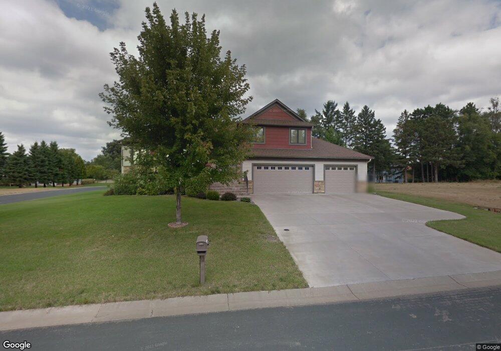
541 Fisher Cir Saint Paul, MN 55127
Estimated Value: $680,000 - $749,000
3
Beds
4
Baths
1,407
Sq Ft
$512/Sq Ft
Est. Value
About This Home
This home is located at 541 Fisher Cir, Saint Paul, MN 55127 and is currently estimated at $720,572, approximately $512 per square foot. 541 Fisher Cir is a home located in Ramsey County with nearby schools including Vadnais Heights Elementary School, Sunrise Park Middle School, and AFSA High School.
Ownership History
Date
Name
Owned For
Owner Type
Purchase Details
Closed on
Oct 18, 2019
Sold by
Mcdonald Jennifer E
Bought by
Verville Troy A and Verville Margo
Current Estimated Value
Home Financials for this Owner
Home Financials are based on the most recent Mortgage that was taken out on this home.
Original Mortgage
$510,000
Interest Rate
3.74%
Mortgage Type
VA
Purchase Details
Closed on
Jun 21, 2016
Sold by
Securian Trust Company Na
Bought by
Mcdonald Jennifer E
Home Financials for this Owner
Home Financials are based on the most recent Mortgage that was taken out on this home.
Original Mortgage
$377,600
Interest Rate
3%
Mortgage Type
Adjustable Rate Mortgage/ARM
Purchase Details
Closed on
Jul 3, 2007
Sold by
Homes By James Inc
Bought by
Lindquist Ronald and Lindquist Susan
Create a Home Valuation Report for This Property
The Home Valuation Report is an in-depth analysis detailing your home's value as well as a comparison with similar homes in the area
Home Values in the Area
Average Home Value in this Area
Purchase History
| Date | Buyer | Sale Price | Title Company |
|---|---|---|---|
| Verville Troy A | $510,000 | Stewart Title | |
| Mcdonald Jennifer E | $472,000 | Trademark Title Services Inc | |
| Lindquist Ronald | $871,638 | -- | |
| Homes By James Inc | $152,228 | -- |
Source: Public Records
Mortgage History
| Date | Status | Borrower | Loan Amount |
|---|---|---|---|
| Previous Owner | Verville Troy A | $510,000 | |
| Previous Owner | Mcdonald Jennifer E | $377,600 |
Source: Public Records
Tax History Compared to Growth
Tax History
| Year | Tax Paid | Tax Assessment Tax Assessment Total Assessment is a certain percentage of the fair market value that is determined by local assessors to be the total taxable value of land and additions on the property. | Land | Improvement |
|---|---|---|---|---|
| 2025 | $8,620 | $676,400 | $117,700 | $558,700 |
| 2023 | $8,620 | $630,000 | $117,700 | $512,300 |
| 2022 | $7,714 | $551,000 | $117,700 | $433,300 |
| 2021 | $7,186 | $550,400 | $117,700 | $432,700 |
| 2020 | $7,466 | $532,500 | $113,700 | $418,800 |
| 2019 | $7,016 | $517,200 | $113,700 | $403,500 |
| 2018 | $6,398 | $520,700 | $113,700 | $407,000 |
| 2017 | $6,558 | $484,400 | $113,700 | $370,700 |
| 2016 | $7,094 | $0 | $0 | $0 |
| 2015 | $6,444 | $496,100 | $113,700 | $382,400 |
Source: Public Records
Map
Nearby Homes
- 3611 Edgerton St
- 565 Oak Creek Dr S
- 421 Oak Creek Ct
- 3770 Edgerton St
- 3693 Oak Creek Dr W
- 680 Koehler Rd
- 383 Tessier Cir
- 449 Bear Ct
- 3857 Stockdale Dr
- 3736 Centerville Rd
- 3309 Nathaniel Ct
- 3329 Greenbrier St
- 696 Monn Ave
- 698 Monn Ave
- 3300 Greenbrier St Unit 3300C
- 697 Parkside Dr Unit 697H
- 3230 Edgerton St
- 153 Skyline Dr Unit 234
- 165 Mayfair Rd Unit 162
- 226 Mayfair Rd
- 54X Fisher Cir
- 545 Fisher Cir
- L2 B1 Fisher Cir
- 538 Carol Dr
- L2 B1 L2 B1 Fisher-Circle-
- 54X 54x Fisher Cir
- 546 Carol Dr
- 546 546 Carol Dr
- 527 Park Place
- 527 527 Park-Place-
- 540 Fisher Cir
- XXX Park Place
- 526 Carol Dr
- 526 526 Carol Dr
- xxx Fisher Cir
- 550 Fisher Cir
- 554 Carol Dr
- 549 Fisher Cir
- 519 Park Place
- 528 528 Park-Place-