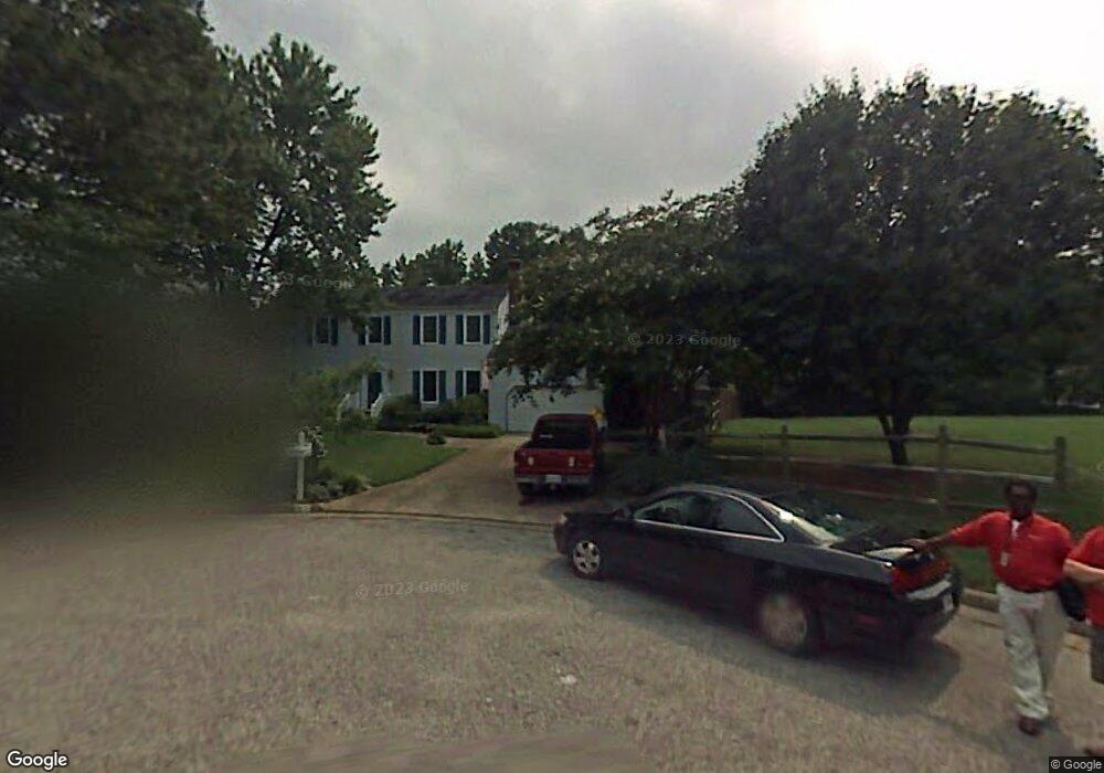
5417 Angus Dr Virginia Beach, VA 23464
Brigadoon NeighborhoodEstimated Value: $520,000 - $564,303
5
Beds
3
Baths
2,561
Sq Ft
$210/Sq Ft
Est. Value
About This Home
This home is located at 5417 Angus Dr, Virginia Beach, VA 23464 and is currently estimated at $538,326, approximately $210 per square foot. 5417 Angus Dr is a home located in Virginia Beach City with nearby schools including Centerville Elementary, Brandon Middle School, and Tallwood High School.
Ownership History
Date
Name
Owned For
Owner Type
Purchase Details
Closed on
Apr 17, 2019
Sold by
Carpenter Willard F and Carpenter Suzanne S
Bought by
Johnson Jeffrey L and Johnson Kystal L
Current Estimated Value
Home Financials for this Owner
Home Financials are based on the most recent Mortgage that was taken out on this home.
Original Mortgage
$353,400
Outstanding Balance
$311,327
Interest Rate
4.4%
Mortgage Type
New Conventional
Estimated Equity
$226,999
Purchase Details
Closed on
Dec 13, 2017
Sold by
Carpenter Willard F and Carpenter Suzanne S
Bought by
Carpenter Willard F and Carpenter Suzanne S
Create a Home Valuation Report for This Property
The Home Valuation Report is an in-depth analysis detailing your home's value as well as a comparison with similar homes in the area
Home Values in the Area
Average Home Value in this Area
Purchase History
| Date | Buyer | Sale Price | Title Company |
|---|---|---|---|
| Johnson Jeffrey L | $374,000 | Fidelity National Title | |
| Carpenter Willard F | -- | None Available |
Source: Public Records
Mortgage History
| Date | Status | Borrower | Loan Amount |
|---|---|---|---|
| Open | Johnson Jeffrey L | $353,400 |
Source: Public Records
Tax History Compared to Growth
Tax History
| Year | Tax Paid | Tax Assessment Tax Assessment Total Assessment is a certain percentage of the fair market value that is determined by local assessors to be the total taxable value of land and additions on the property. | Land | Improvement |
|---|---|---|---|---|
| 2025 | $4,479 | $507,500 | $162,500 | $345,000 |
| 2024 | $4,479 | $461,700 | $152,000 | $309,700 |
| 2023 | $4,416 | $446,100 | $130,000 | $316,100 |
| 2022 | $4,111 | $415,300 | $120,000 | $295,300 |
| 2021 | $3,902 | $394,100 | $104,000 | $290,100 |
| 2020 | $3,631 | $356,900 | $93,000 | $263,900 |
| 2019 | $3,109 | $303,800 | $88,000 | $215,800 |
| 2018 | $3,046 | $303,800 | $88,000 | $215,800 |
| 2017 | $2,964 | $295,700 | $88,000 | $207,700 |
| 2016 | $2,927 | $295,700 | $88,000 | $207,700 |
| 2015 | $2,975 | $300,500 | $87,800 | $212,700 |
| 2014 | $2,372 | $269,800 | $101,300 | $168,500 |
Source: Public Records
Map
Nearby Homes
- 5204 Brockie St
- 1652 Ashton Dr
- 5217 Brockie St
- 1632 Black Watch Ln
- 2165 Bizzone Cir
- 900 Whitbeck Ct
- 900 Murphy Ln
- 909 Daniel Maloney Dr
- 1721 Dancers Ct
- 5441 Brookfield Dr
- 1969 Lisa Ct
- 5545 MacGuffie St
- 912 Dallas Ct
- 5593 Stonehaven Dr
- 957 Avery Way
- 1713 Zimmerman Ct
- 1716 Chilhowie Cir
- 1012 Fairborn Ct
- 1916 Vince Rd
- 1885 Pittsburg Landing
- 5413 Angus Dr
- 5404 Sidney Cir
- 5405 Sidney Cir
- 5409 Angus Dr
- 1700 Styron Ln
- 1704 Styron Ln
- 5416 Angus Dr
- 1772 Barkading Ln
- 5405 Angus Dr
- 5412 Angus Dr
- 5400 Sidney Cir
- 5401 Sidney Cir
- 1708 Styron Ln
- 5408 Angus Dr
- 5401 Angus Dr
- 1776 Barkading Ln
- 1701 Styron Ln
- 5417 Etheridge Ct
- 1777 Barkading Ln
- 5421 Etheridge Ct