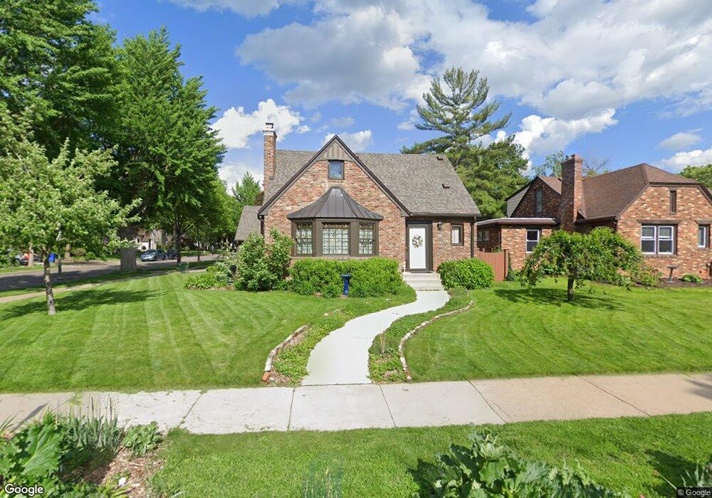
542 Cretin Ave S Saint Paul, MN 55116
Highland Park NeighborhoodEstimated Value: $485,000 - $547,000
3
Beds
3
Baths
741
Sq Ft
$694/Sq Ft
Est. Value
About This Home
This home is located at 542 Cretin Ave S, Saint Paul, MN 55116 and is currently estimated at $514,187, approximately $693 per square foot. 542 Cretin Ave S is a home located in Ramsey County with nearby schools including Horace Mann School, Highland Park Middle School, and Highland Park Senior High.
Ownership History
Date
Name
Owned For
Owner Type
Purchase Details
Closed on
Jul 28, 2025
Sold by
Armstrong Paul B and Ding Yuan
Bought by
Baker Jaclyn S and Simpson Jon C
Current Estimated Value
Purchase Details
Closed on
Oct 24, 2024
Sold by
Pomputius William F and Pomputius Pamela F
Bought by
Team Peacock Living Trust and Pomputius
Purchase Details
Closed on
May 15, 2001
Sold by
Vanheel James R and Vanheel Paula R
Bought by
Madcharo John Karl and Madcharo Martha Theresa
Create a Home Valuation Report for This Property
The Home Valuation Report is an in-depth analysis detailing your home's value as well as a comparison with similar homes in the area
Home Values in the Area
Average Home Value in this Area
Purchase History
| Date | Buyer | Sale Price | Title Company |
|---|---|---|---|
| Baker Jaclyn S | $525,000 | Burnet Title | |
| Team Peacock Living Trust | $500 | None Listed On Document | |
| Madcharo John Karl | $255,000 | -- |
Source: Public Records
Tax History Compared to Growth
Tax History
| Year | Tax Paid | Tax Assessment Tax Assessment Total Assessment is a certain percentage of the fair market value that is determined by local assessors to be the total taxable value of land and additions on the property. | Land | Improvement |
|---|---|---|---|---|
| 2025 | $7,626 | $535,700 | $144,700 | $391,000 |
| 2023 | $7,626 | $495,500 | $144,700 | $350,800 |
| 2022 | $7,342 | $488,700 | $144,700 | $344,000 |
| 2021 | $6,412 | $454,100 | $144,700 | $309,400 |
| 2020 | $6,848 | $411,100 | $144,700 | $266,400 |
| 2019 | $6,362 | $408,100 | $144,700 | $263,400 |
| 2018 | $5,934 | $376,500 | $144,700 | $231,800 |
| 2017 | $5,084 | $362,600 | $144,700 | $217,900 |
| 2016 | $5,066 | $0 | $0 | $0 |
| 2015 | $5,268 | $312,900 | $124,000 | $188,900 |
| 2014 | $5,506 | $0 | $0 | $0 |
Source: Public Records
Map
Nearby Homes
- 2114 Randolph Ave
- 475 Mount Curve Blvd
- 677 Wilder St S
- 700 Mississippi River Blvd S
- 2129 Stanford Ave
- 313 Stonebridge Blvd
- 317 Stonebridge Blvd
- 281 Cleveland Ave S
- 2133 Berkeley Ave
- 1885 W Eleanor Ave
- 1941 Ford Pkwy Unit 102
- 956 Mississippi River Blvd S
- 842 S Woodlawn Ave
- 840 S Woodlawn Ave
- 590 Fairview Ave S
- 2250 Princeton Ave
- Jetwood Plan at Highland Bridge
- Jayton Plan at Highland Bridge
- Frankton Plan at Highland Bridge
- Fairwood Plan at Highland Bridge
- 548 Cretin Ave S
- 2166 Niles Ave
- 2162 Niles Ave
- 538 Cretin Ave S
- 554 Cretin Ave S
- 2158 Niles Ave
- 543 Cretin Ave S
- 547 Cretin Ave S
- 534 Cretin Ave S
- 539 Cretin Ave S
- 551 Cretin Ave S
- 2161 Niles Ave
- 2165 Watson Ave
- 555 Cretin Ave S
- 528 Cretin Ave S
- 2159 Niles Ave
- 533 Cretin Ave S
- 2161 Watson Ave
- 2151 Niles Ave
- 2157 Watson Ave