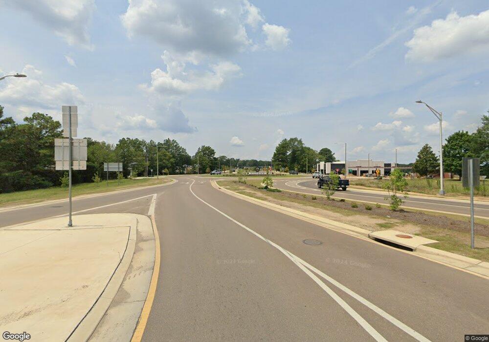
542 Highway 30 E Oxford, MS 38655
Estimated Value: $299,901 - $496,000
3
Beds
2
Baths
1,800
Sq Ft
$223/Sq Ft
Est. Value
About This Home
This home is located at 542 Highway 30 E, Oxford, MS 38655 and is currently estimated at $402,225, approximately $223 per square foot. 542 Highway 30 E is a home located in Lafayette County with nearby schools including Della Davidson Elementary School, Bramlett Elementary School, and Central Elementary School.
Ownership History
Date
Name
Owned For
Owner Type
Purchase Details
Closed on
Aug 3, 2021
Sold by
Carter William B
Bought by
Sequoia Rentals Llc
Current Estimated Value
Purchase Details
Closed on
Aug 13, 2015
Sold by
Coleman Jerry N and Coleman Judy M
Bought by
Carter William B and Carter Deborah H
Home Financials for this Owner
Home Financials are based on the most recent Mortgage that was taken out on this home.
Original Mortgage
$130,000
Interest Rate
4.11%
Mortgage Type
New Conventional
Purchase Details
Closed on
Sep 26, 2014
Sold by
Moss John Anthony and Moss Miyuki
Bought by
Cas Investments Llc
Create a Home Valuation Report for This Property
The Home Valuation Report is an in-depth analysis detailing your home's value as well as a comparison with similar homes in the area
Home Values in the Area
Average Home Value in this Area
Purchase History
| Date | Buyer | Sale Price | Title Company |
|---|---|---|---|
| Sequoia Rentals Llc | -- | None Listed On Document | |
| Carter William B | -- | None Available | |
| Cas Investments Llc | -- | None Available |
Source: Public Records
Mortgage History
| Date | Status | Borrower | Loan Amount |
|---|---|---|---|
| Previous Owner | Carter William B | $130,000 |
Source: Public Records
Tax History Compared to Growth
Tax History
| Year | Tax Paid | Tax Assessment Tax Assessment Total Assessment is a certain percentage of the fair market value that is determined by local assessors to be the total taxable value of land and additions on the property. | Land | Improvement |
|---|---|---|---|---|
| 2024 | $2,063 | $20,323 | $0 | $0 |
| 2023 | $2,063 | $20,323 | $0 | $0 |
| 2022 | $2,022 | $20,323 | $0 | $0 |
| 2021 | $230 | $13,548 | $0 | $0 |
| 2020 | $220 | $13,439 | $0 | $0 |
| 2019 | $347 | $13,439 | $0 | $0 |
| 2018 | $347 | $13,439 | $0 | $0 |
| 2017 | $347 | $13,439 | $0 | $0 |
| 2016 | $309 | $12,823 | $0 | $0 |
| 2015 | -- | $19,235 | $0 | $0 |
| 2014 | -- | $12,823 | $0 | $0 |
Source: Public Records
Map
Nearby Homes
- 154 Downing St
- 81 County Road 231
- 141 Downing St
- 369 Highway 30 E
- 205 Forest Ridge Dr
- TBD County Road 208
- 123456 County Road 208
- 19 County Road 220
- 500 Timber Hollow Ln
- 451 Co Rd 215
- TBD Cr 207
- 115 Post Oak Dr
- 914 Georgia Oak Cove
- 474 Co Rd 215
- 810 Bear Oak Pointe
- 809 Bear Oak Pointe
- 804 Bear Oak Pointe
- 808 Bear Oak Pointe
- 137 Hwy 30 E
- 102 Leatherwood Rd
- 542 Mississippi 30
- 3 County Road 227
- 548 Highway 30 E
- 9 County Road 227
- 4 County Road 227
- 27 County Road 227
- 12 County Road 227
- 25 County Road 227
- 25 Cr 227
- 16 County Road 227
- 22 County Road 227
- 612 Highway 30 E
- 535 Highway 30 E
- 568 Highway 30 E
- 22 County Road 229
- 512 Highway 30 E
- 512 Highway 30 E
- 26 County Road 229
- 575 Highway 30 E
- 34 County Road 229
