Estimated Value: $193,000 - $234,000
--
Bed
1
Bath
1,685
Sq Ft
$127/Sq Ft
Est. Value
About This Home
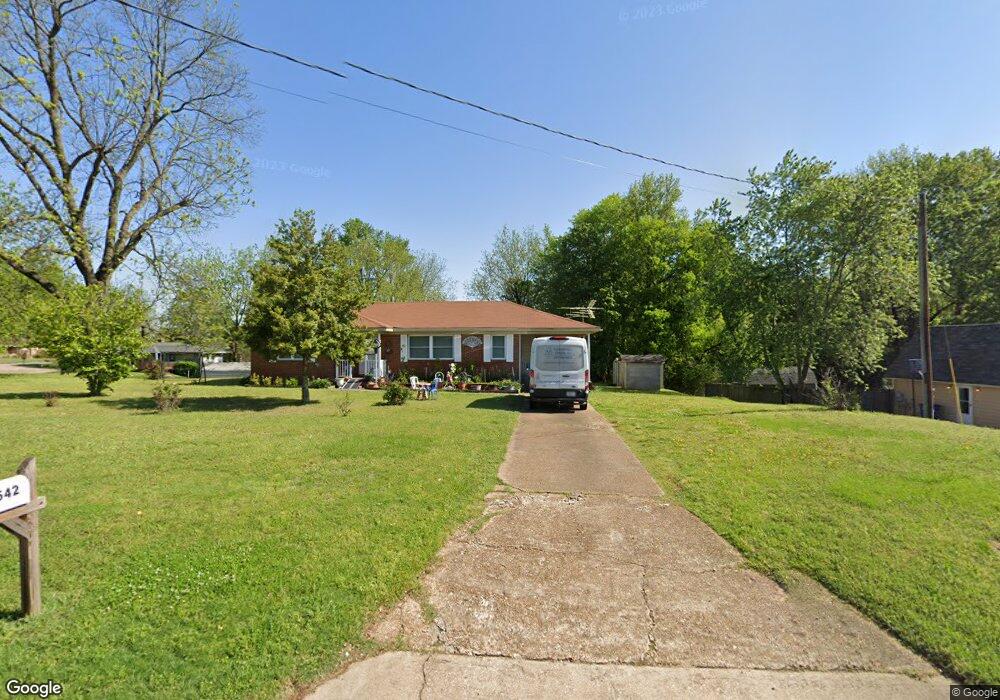
This home is located at 542 Kimbrough Ave, Atoka, TN 38004 and is currently estimated at $213,167, approximately $126 per square foot. 542 Kimbrough Ave is a home located in Tipton County with nearby schools including Atoka Elementary School, Munford Middle School, and Munford High School.
Ownership History
Date
Name
Owned For
Owner Type
Purchase Details
Closed on
Oct 2, 2006
Sold by
Gatlin Betty M
Bought by
Mccullough Larry H
Current Estimated Value
Home Financials for this Owner
Home Financials are based on the most recent Mortgage that was taken out on this home.
Original Mortgage
$89,900
Outstanding Balance
$53,348
Interest Rate
6.36%
Estimated Equity
$159,819
Purchase Details
Closed on
Jun 29, 1962
Bought by
Gatlin James E
Create a Home Valuation Report for This Property
The Home Valuation Report is an in-depth analysis detailing your home's value as well as a comparison with similar homes in the area
Home Values in the Area
Average Home Value in this Area
Purchase History
| Date | Buyer | Sale Price | Title Company |
|---|---|---|---|
| Mccullough Larry H | $99,900 | -- | |
| Gatlin James E | -- | -- |
Source: Public Records
Mortgage History
| Date | Status | Borrower | Loan Amount |
|---|---|---|---|
| Open | Gatlin James E | $89,900 |
Source: Public Records
Tax History Compared to Growth
Tax History
| Year | Tax Paid | Tax Assessment Tax Assessment Total Assessment is a certain percentage of the fair market value that is determined by local assessors to be the total taxable value of land and additions on the property. | Land | Improvement |
|---|---|---|---|---|
| 2024 | $1,066 | $44,650 | $7,525 | $37,125 |
| 2023 | $1,066 | $47,250 | $7,525 | $39,725 |
| 2022 | $1,017 | $33,125 | $5,525 | $27,600 |
| 2021 | $1,000 | $33,125 | $5,525 | $27,600 |
| 2020 | $999 | $33,125 | $5,525 | $27,600 |
| 2019 | $673 | $18,750 | $4,250 | $14,500 |
| 2018 | $673 | $18,750 | $4,250 | $14,500 |
| 2017 | $604 | $18,750 | $4,250 | $14,500 |
| 2016 | $604 | $18,750 | $4,250 | $14,500 |
| 2015 | $603 | $18,750 | $4,250 | $14,500 |
| 2014 | $557 | $18,754 | $0 | $0 |
Source: Public Records
Map
Nearby Homes
- 0 Atoka McLaughlin Dr
- 104 Lochmeade Dr
- 195 Munford Ave
- 319 Mclaughlin Dr
- 114 Walker Lake Rd
- 160 S Gretna Green Dr
- 43 S Aberdeen Dr
- 128 Loch Haven Cove S
- 0 Mclaughlin Dr
- 249 Mignon Rd
- 371 Beverly Dr
- 93 Sterling Farm Dr
- 35 Drysdale Cove
- 60 Drysdale Cove
- 152 Pritchett Cove
- 54 Forsyth Ln
- 215 Pritchett Cove
- 46 Forsyth Ln
- 32 Forsyth Ln
- 29 Merino Dr
- 566 Kimbrough Ave
- 580 Kimbrough Ave
- 81 Johnson St
- 559 Kimbrough Ave
- 523 Kimbrough Ave
- 55 Sullivan St
- 602 Kimbrough Ave
- 575 Kimbrough Ave
- 501 Kimbrough Ave
- 478 Kimbrough Ave
- 65 Johnson St
- 45 Sullivan St
- 624 Kimbrough Ave
- 86 Johnson St
- 479 Kimbrough Ave
- 37 Sullivan St
- 619 Kimbrough Ave
- 460 Kimbrough Ave
- 433 Atoka Munford Ave
- 39 Sullivan St