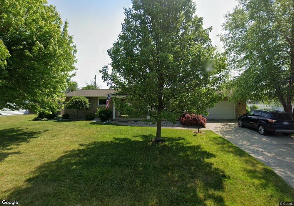
5421 Michael Rd Bay City, MI 48706
Estimated Value: $235,563 - $251,000
--
Bed
1
Bath
1,578
Sq Ft
$155/Sq Ft
Est. Value
About This Home
This home is located at 5421 Michael Rd, Bay City, MI 48706 and is currently estimated at $243,891, approximately $154 per square foot. 5421 Michael Rd is a home located in Bay County with nearby schools including Mackensen Elementary School, Western Middle School, and Bay City Western High School.
Ownership History
Date
Name
Owned For
Owner Type
Purchase Details
Closed on
Dec 1, 2021
Sold by
Nowak Thomas W and Nowak Deitra A
Bought by
Smylie Jack W and Smylie Janet
Current Estimated Value
Home Financials for this Owner
Home Financials are based on the most recent Mortgage that was taken out on this home.
Original Mortgage
$152,800
Outstanding Balance
$140,592
Interest Rate
3.14%
Mortgage Type
New Conventional
Estimated Equity
$103,299
Purchase Details
Closed on
Mar 28, 2003
Sold by
Ballard Henry L and Ballard Delores J
Bought by
Nowak Thomas W and Nowak Deitra A
Home Financials for this Owner
Home Financials are based on the most recent Mortgage that was taken out on this home.
Original Mortgage
$135,850
Interest Rate
5.86%
Mortgage Type
Purchase Money Mortgage
Create a Home Valuation Report for This Property
The Home Valuation Report is an in-depth analysis detailing your home's value as well as a comparison with similar homes in the area
Home Values in the Area
Average Home Value in this Area
Purchase History
| Date | Buyer | Sale Price | Title Company |
|---|---|---|---|
| Smylie Jack W | $191,000 | None Available | |
| Nowak Thomas W | $143,000 | -- |
Source: Public Records
Mortgage History
| Date | Status | Borrower | Loan Amount |
|---|---|---|---|
| Open | Smylie Jack W | $152,800 | |
| Previous Owner | Nowak Thomas W | $135,850 |
Source: Public Records
Tax History Compared to Growth
Tax History
| Year | Tax Paid | Tax Assessment Tax Assessment Total Assessment is a certain percentage of the fair market value that is determined by local assessors to be the total taxable value of land and additions on the property. | Land | Improvement |
|---|---|---|---|---|
| 2025 | $2,943 | $100,100 | $0 | $0 |
| 2024 | $1,172 | $95,800 | $0 | $0 |
| 2023 | $1,116 | $93,100 | $0 | $0 |
| 2022 | $4,002 | $72,200 | $0 | $0 |
| 2021 | $2,176 | $77,200 | $77,200 | $0 |
| 2020 | $2,167 | $71,200 | $71,200 | $0 |
| 2019 | $2,055 | $61,000 | $0 | $0 |
| 2018 | $1,989 | $63,800 | $0 | $0 |
| 2017 | $1,894 | $65,000 | $0 | $0 |
| 2016 | $1,900 | $63,100 | $0 | $63,100 |
| 2015 | $800 | $62,100 | $0 | $62,100 |
| 2014 | $800 | $53,800 | $0 | $53,800 |
Source: Public Records
Map
Nearby Homes
- 5136 Baxman Rd
- 2924 Imperial Dr
- 5115 Baxman Rd
- 5231 Parkway Dr
- 39 E Salzburg Rd
- 2777 E Fisher Rd
- 3343 Parkway Dr
- 3176 E Fisher Rd
- 0 2 Mile Rd Unit 50169642
- 0 Fisher Rd
- 0 S Two Mile Rd Unit 50142051
- 5989 Red Feather Dr
- 1901 S Mountain St
- 4848 W Westgate Dr
- 1711 Raymond St
- 3106 S Euclid Ave
- 4738 Maplewood Dr
- 1801 S Warner St
- 2491 E Meadow Dr
- 6025 E Meadow Dr