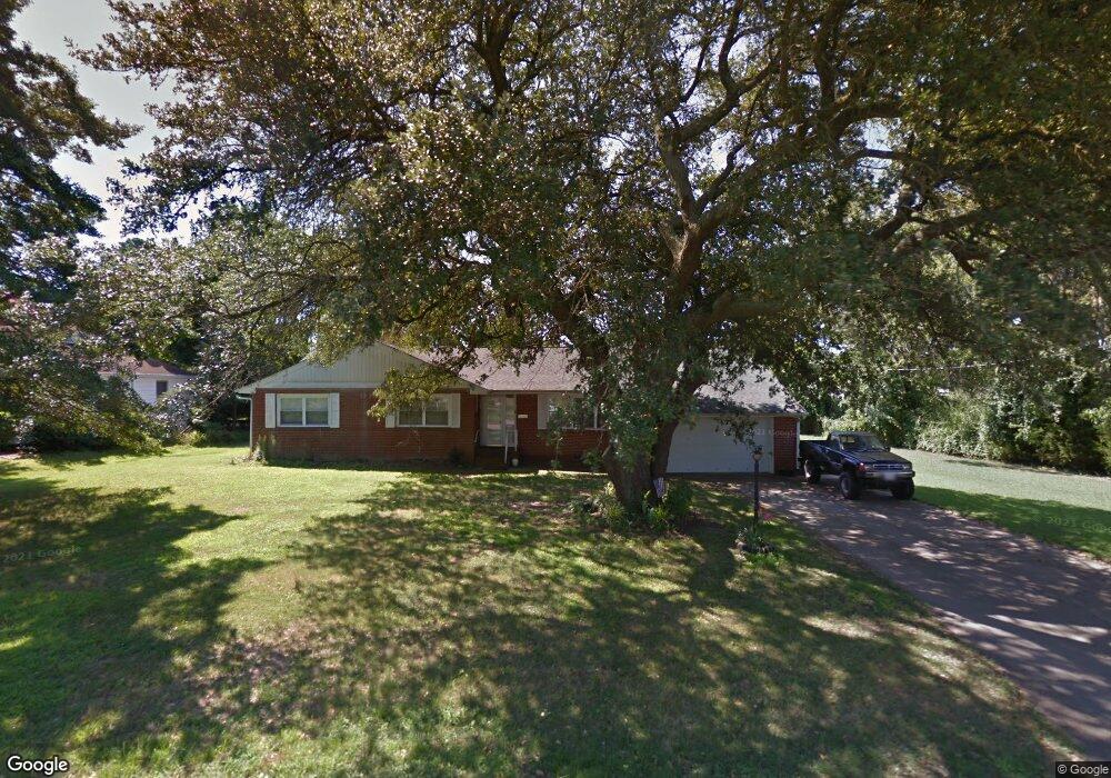
543 Rogers Ave Hampton, VA 23664
Buckroe Beach NeighborhoodEstimated Value: $287,000 - $321,000
3
Beds
2
Baths
1,759
Sq Ft
$176/Sq Ft
Est. Value
About This Home
This home is located at 543 Rogers Ave, Hampton, VA 23664 and is currently estimated at $309,044, approximately $175 per square foot. 543 Rogers Ave is a home located in Hampton City with nearby schools including Francis Asbury Elementary School, Benjamin Syms Middle School, and Phoebus High School.
Ownership History
Date
Name
Owned For
Owner Type
Purchase Details
Closed on
Jan 6, 2023
Sold by
Morris Edward H and Morris Jenny Marie
Bought by
Morris Edward H
Current Estimated Value
Purchase Details
Closed on
Mar 25, 2009
Sold by
Joe Martha Morris
Bought by
Morris Edward H
Home Financials for this Owner
Home Financials are based on the most recent Mortgage that was taken out on this home.
Original Mortgage
$168,000
Interest Rate
4.94%
Mortgage Type
New Conventional
Create a Home Valuation Report for This Property
The Home Valuation Report is an in-depth analysis detailing your home's value as well as a comparison with similar homes in the area
Home Values in the Area
Average Home Value in this Area
Purchase History
| Date | Buyer | Sale Price | Title Company |
|---|---|---|---|
| Morris Edward H | -- | -- | |
| Morris Edward H | $146,666 | -- |
Source: Public Records
Mortgage History
| Date | Status | Borrower | Loan Amount |
|---|---|---|---|
| Previous Owner | Morris Edward H | $168,000 |
Source: Public Records
Tax History
| Year | Tax Paid | Tax Assessment Tax Assessment Total Assessment is a certain percentage of the fair market value that is determined by local assessors to be the total taxable value of land and additions on the property. | Land | Improvement |
|---|---|---|---|---|
| 2025 | $2,986 | $257,800 | $78,400 | $179,400 |
| 2024 | $2,737 | $238,000 | $78,400 | $159,600 |
| 2023 | $2,711 | $221,500 | $71,400 | $150,100 |
| 2022 | $2,351 | $199,200 | $60,200 | $139,000 |
| 2021 | $2,286 | $173,900 | $50,400 | $123,500 |
| 2020 | $2,347 | $189,300 | $50,400 | $138,900 |
| 2019 | $2,347 | $189,300 | $50,400 | $138,900 |
| 2018 | $2,452 | $191,200 | $61,900 | $129,300 |
| 2017 | $2,465 | $0 | $0 | $0 |
| 2016 | $2,465 | $191,200 | $0 | $0 |
| 2015 | $2,465 | $0 | $0 | $0 |
| 2014 | $2,455 | $191,200 | $61,900 | $129,300 |
Source: Public Records
Map
Nearby Homes
- 1642 Old Buckroe Rd
- 231 N Fifth St
- 1622 Old Buckroe Rd
- 13 Fields Dr
- 205 Benthall Rd
- 419 Rogers Ave
- 417 Hunlac Ave
- 2013 N Mallory St
- 9 Colonial Acres Dr
- 417 N Second St
- 403 Benthall Rd
- 4 Alexander Dr
- 731 Burgess Ave
- 733 Burgess Ave
- 307 N First St
- 235 N First St Unit 201
- 2112 E Pembroke Ave
- 714 Grove St
- 334 N First St Unit 18
- 334 N First St
- 541 Rogers Ave
- 544 Rogers Ave
- 547 Rogers Ave
- 539 Rogers Ave
- 549 Rogers Ave
- 552 Rogers Ave
- 3 Barnes Ct
- 537 Rogers Ave
- 2 Barnes Ct
- 551 Rogers Ave
- 4 Barnes Ct
- 1662 Old Buckroe Rd
- 1658 Old Buckroe Rd
- 535 Rogers Ave
- 1654 Old Buckroe Rd
- 6 Barnes Ct
- 530 Rogers Ave
- 533 Rogers Ave
- 7 Barnes Ct
- 1652 Old Buckroe Rd
Your Personal Tour Guide
Ask me questions while you tour the home.