544 Buckhorn Rd Eastsound, WA 98245
Estimated Value: $1,092,000 - $1,713,000
3
Beds
3
Baths
2,416
Sq Ft
$562/Sq Ft
Est. Value
About This Home
This home is located at 544 Buckhorn Rd, Eastsound, WA 98245 and is currently estimated at $1,356,903, approximately $561 per square foot. 544 Buckhorn Rd is a home with nearby schools including Orcas Island Elementary School, Orcas Island Middle School, and Orcas Island High School.
Ownership History
Date
Name
Owned For
Owner Type
Purchase Details
Closed on
Dec 26, 2019
Sold by
Doty Richard and Doty Velma
Bought by
Flint Ryan J
Current Estimated Value
Home Financials for this Owner
Home Financials are based on the most recent Mortgage that was taken out on this home.
Original Mortgage
$20,000
Outstanding Balance
$9,579
Interest Rate
3.7%
Mortgage Type
New Conventional
Estimated Equity
$1,347,324
Purchase Details
Closed on
Oct 1, 2007
Sold by
Doty Richard J and Doty Velma J
Bought by
Doty Richard J and Doty Velma J
Create a Home Valuation Report for This Property
The Home Valuation Report is an in-depth analysis detailing your home's value as well as a comparison with similar homes in the area
Home Values in the Area
Average Home Value in this Area
Purchase History
| Date | Buyer | Sale Price | Title Company |
|---|---|---|---|
| Flint Ryan J | $16,951 | San Juan Title Llc | |
| Doty Richard J | -- | San Juan Title Llc |
Source: Public Records
Mortgage History
| Date | Status | Borrower | Loan Amount |
|---|---|---|---|
| Open | Flint Ryan J | $20,000 |
Source: Public Records
Tax History Compared to Growth
Tax History
| Year | Tax Paid | Tax Assessment Tax Assessment Total Assessment is a certain percentage of the fair market value that is determined by local assessors to be the total taxable value of land and additions on the property. | Land | Improvement |
|---|---|---|---|---|
| 2024 | $5,815 | $1,096,630 | $97,900 | $998,730 |
| 2023 | $5,815 | $1,096,630 | $97,900 | $998,730 |
| 2022 | $5,824 | $993,680 | $97,900 | $895,780 |
| 2021 | $807 | $785,400 | $81,580 | $703,820 |
| 2020 | $299 | $102,020 | $74,160 | $27,860 |
| 2019 | $255 | $36,530 | $36,530 | $0 |
| 2018 | $216 | $30,970 | $30,970 | $0 |
| 2017 | $207 | $22,120 | $22,120 | $0 |
| 2016 | $193 | $23,230 | $23,230 | $0 |
| 2015 | $251 | $22,120 | $22,120 | $0 |
| 2014 | $251 | $22,120 | $22,120 | $0 |
| 2012 | $251 | $20,110 | $20,110 | $0 |
Source: Public Records
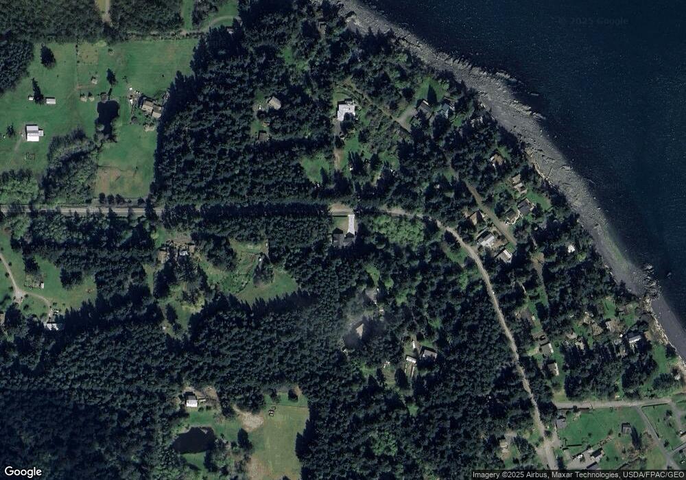
Map
Nearby Homes
- 0 Raccoon Point Rd Unit Lot 19 NWM2362102
- 0 Raccoon Point Rd Unit Lot 2 NWM2362715
- 540 Wright Rd
- 547 Raccoon Point Rd
- 279 Parker Reef Rd
- 406 Parker Reef Rd
- 9 Fossil Bay Dr
- 673 Raccoon Point Rd
- 40 Echo Bay Dr
- 178 Fossil Bay Dr
- 558 Buck Mountain Rd
- 285 Raptor Rd
- 908 Raccoon Point Rd
- 90 Montgomery Ln
- 1669 Day Lake Rd
- 64 Hammond Ln
- 93 Ship Bay Ln
- 326 Olga Rd
- 201 Hemlock St
- 1656 Eagle Ridge Rd
- 553 Buckhorn Rd
- 545 Buckhorn Rd
- 577 Buckhorn Rd
- 525 Buckhorn Rd
- 457 Buckhorn Rd
- 617 Buckhorn Rd
- 236 Rossel Ln
- 459 Buckhorn Rd
- 640 Buckhorn Rd
- 640 Buckhorn Rd
- 210 Rossel Ln
- 661 Buckhorn St
- 661 Buckhorn Rd
- 198 Rossell Ln
- 160 Rossell Ln
- 284 Rossel Ln
- 134 Rossell Ln
- 394 Buckhorn Rd
- 116 Rossel Ln
- 675 Buckhorn Rd