545 West Rd Clarksville, NH 03592
Estimated Value: $200,300 - $349,000
1
Bed
1
Bath
1,207
Sq Ft
$214/Sq Ft
Est. Value
About This Home
This home is located at 545 West Rd, Clarksville, NH 03592 and is currently estimated at $258,825, approximately $214 per square foot. 545 West Rd is a home located in Coos County.
Ownership History
Date
Name
Owned For
Owner Type
Purchase Details
Closed on
Sep 5, 2013
Sold by
Brooks Martha A
Bought by
Gadwah Robert L
Current Estimated Value
Home Financials for this Owner
Home Financials are based on the most recent Mortgage that was taken out on this home.
Original Mortgage
$89,242
Outstanding Balance
$66,437
Interest Rate
4.34%
Mortgage Type
Purchase Money Mortgage
Estimated Equity
$192,388
Purchase Details
Closed on
Jul 6, 2012
Sold by
Gadwah Robert L
Bought by
Brooks Martha A
Create a Home Valuation Report for This Property
The Home Valuation Report is an in-depth analysis detailing your home's value as well as a comparison with similar homes in the area
Home Values in the Area
Average Home Value in this Area
Purchase History
| Date | Buyer | Sale Price | Title Company |
|---|---|---|---|
| Gadwah Robert L | -- | -- | |
| Brooks Martha A | -- | -- |
Source: Public Records
Mortgage History
| Date | Status | Borrower | Loan Amount |
|---|---|---|---|
| Open | Gadwah Robert L | $89,242 |
Source: Public Records
Tax History Compared to Growth
Tax History
| Year | Tax Paid | Tax Assessment Tax Assessment Total Assessment is a certain percentage of the fair market value that is determined by local assessors to be the total taxable value of land and additions on the property. | Land | Improvement |
|---|---|---|---|---|
| 2024 | $2,898 | $133,500 | $35,900 | $97,600 |
| 2023 | $2,526 | $133,500 | $35,900 | $97,600 |
| 2022 | $2,765 | $133,500 | $35,900 | $97,600 |
| 2021 | $2,177 | $114,700 | $25,900 | $88,800 |
| 2020 | $1,865 | $114,700 | $25,900 | $88,800 |
| 2019 | $1,636 | $105,200 | $22,600 | $82,600 |
| 2018 | $1,899 | $105,800 | $22,600 | $83,200 |
| 2017 | $2,035 | $105,800 | $22,600 | $83,200 |
| 2016 | $1,794 | $105,800 | $22,600 | $83,200 |
| 2015 | $1,748 | $105,800 | $22,600 | $83,200 |
| 2014 | $1,613 | $103,700 | $29,200 | $74,500 |
| 2013 | $1,462 | $103,700 | $29,200 | $74,500 |
Source: Public Records
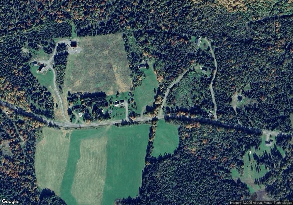
Map
Nearby Homes
- 72 Heritage Rd
- 75 Heritage Rd
- 97 Cobblestone Rd
- 8 Haynes Rd
- 11 Downing Rd
- 57 Rudy Ln Unit 24
- Lot 1, 2, & 3 Creampoke Rd
- 220 Creampoke Rd
- TBD Hollow Rd
- 621 Bishop Brook Rd
- 12 River Rd
- - Bishop Brook Rd
- 393 G P Loop Rd
- 63 Pariseau Dr
- 7 Cedric Rd
- TBD Ridge Rd
- 204 Hall Stream Rd
- 369 Hall Stream Rd
- 869 Piper Hill Rd
- 11 Bohan St
- 525 West Rd
- 575 West Rd
- 523 West Rd
- 577 West Rd
- 596 West Rd
- 589 West Rd
- 547 West Rd
- 70 Old Barn Rd
- - Old Barn Rd
- 629 West Rd
- 130 Old Barn Rd
- 80 Old Barn Rd
- 609 West Rd
- 0 Old Barn Rd Unit 2773639
- 0 Old Barn Rd Unit 2753157
- 127 Old Barn Rd
- 634 West Rd
- 452 West Rd
- 40-4 New Hampshire 145
- 35 Nh Route 145