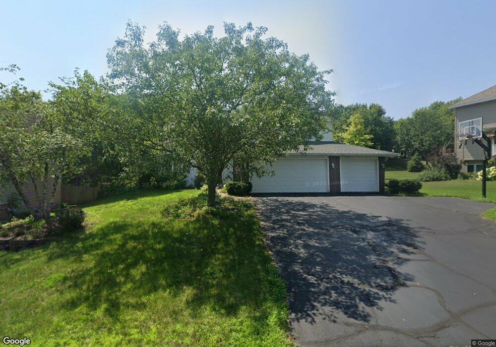
546 Eastwood Ct Saint Paul, MN 55123
Estimated Value: $547,000 - $709,000
5
Beds
3
Baths
3,146
Sq Ft
$209/Sq Ft
Est. Value
About This Home
This home is located at 546 Eastwood Ct, Saint Paul, MN 55123 and is currently estimated at $657,169, approximately $208 per square foot. 546 Eastwood Ct is a home located in Dakota County with nearby schools including Pinewood Elementary School, Dakota Hills Middle School, and Eagan Senior High School.
Ownership History
Date
Name
Owned For
Owner Type
Purchase Details
Closed on
May 7, 2009
Sold by
Jpmorgan Chase Bank
Bought by
Sandborgh Brett and Sandborgh Daphne
Current Estimated Value
Home Financials for this Owner
Home Financials are based on the most recent Mortgage that was taken out on this home.
Original Mortgage
$228,550
Interest Rate
4.86%
Mortgage Type
New Conventional
Purchase Details
Closed on
May 31, 2007
Sold by
Hage Mark and Easton Hage Danitra
Bought by
Priebe Heidi and Priebe Scott A
Purchase Details
Closed on
Oct 15, 2004
Sold by
Priebe Scott A and Priebe Heidi L
Bought by
Hage Mark and Easton Hage Damitra
Purchase Details
Closed on
Jun 6, 2003
Sold by
Melbostad Mark T and Melbostad Lynnette R
Bought by
Priebe Scott A and Priebe Heidi L
Create a Home Valuation Report for This Property
The Home Valuation Report is an in-depth analysis detailing your home's value as well as a comparison with similar homes in the area
Home Values in the Area
Average Home Value in this Area
Purchase History
| Date | Buyer | Sale Price | Title Company |
|---|---|---|---|
| Sandborgh Brett | $300,000 | -- | |
| Priebe Heidi | $576,000 | -- | |
| Hage Mark | $505,000 | -- | |
| Priebe Scott A | $420,000 | -- |
Source: Public Records
Mortgage History
| Date | Status | Borrower | Loan Amount |
|---|---|---|---|
| Previous Owner | Sandborgh Brett | $228,550 |
Source: Public Records
Tax History Compared to Growth
Tax History
| Year | Tax Paid | Tax Assessment Tax Assessment Total Assessment is a certain percentage of the fair market value that is determined by local assessors to be the total taxable value of land and additions on the property. | Land | Improvement |
|---|---|---|---|---|
| 2024 | $7,200 | $677,900 | $147,800 | $530,100 |
| 2023 | $7,200 | $638,100 | $148,200 | $489,900 |
| 2022 | $6,274 | $647,000 | $147,800 | $499,200 |
| 2021 | $5,932 | $549,200 | $128,600 | $420,600 |
| 2020 | $6,020 | $512,500 | $122,400 | $390,100 |
| 2019 | $5,450 | $507,200 | $116,600 | $390,600 |
| 2018 | $5,366 | $484,700 | $111,100 | $373,600 |
| 2017 | $5,492 | $461,500 | $105,800 | $355,700 |
| 2016 | $5,620 | $450,100 | $100,700 | $349,400 |
| 2015 | $5,073 | $456,600 | $100,700 | $355,900 |
| 2014 | -- | $419,100 | $98,000 | $321,100 |
| 2013 | -- | $402,248 | $88,690 | $313,558 |
Source: Public Records
Map
Nearby Homes
- 4525 Alicia Dr
- 591 Autumn Oaks Ct
- 10668 Alton Ct
- 10787 Alison Way
- 699 Calvin Ct
- 681 Summer Ln
- 4072 Prairie Ridge Rd
- 4358 Yorktown Dr
- 593 Coventry Pkwy
- 10684 Alameda Ave
- 4231 Yorktown Dr
- 9451 Esk Ln
- 4080 Camberwell Dr N
- 3998 Haven Woods Ct
- 782 Summerbrooke Ct
- 4001 Haven Woods Ct
- 790 Summerbrooke Ct
- 4274 Maclaren Place
- 711 Stonebridge Cir
- 4125 Pennsylvania Ave
- 542 Eastwood Ct
- 554 Hawthorne Woods Dr
- 558 Hawthorne Woods Dr
- 515 Hackmore Ct
- 550 Hawthorne Woods Dr
- 4355 S Robert Trail
- 541 Eastwood Ct
- 521 Hackmore Ct
- 4375 S Robert Trail
- 522 Hackmore Dr
- 553 Hawthorne Woods Dr
- 546 Hawthorne Woods Dr
- 549 Hawthorne Woods Dr
- 540 Eastwood Ct
- 516 Hackmore Ct
- 557 Hawthorne Woods Dr
- 545 Hawthorne Woods Dr
- 537 Eastwood Ct
- 536 Eastwood Ct
- 542 Hawthorne Woods Dr