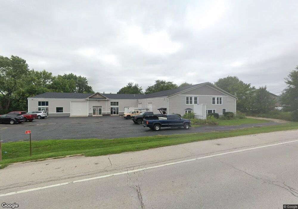
5462 Us Highway 34 Oswego, IL 60543
Northwest Oswego NeighborhoodEstimated Value: $879,169
--
Bed
--
Bath
--
Sq Ft
0.92
Acres
About This Home
This home is located at 5462 Us Highway 34, Oswego, IL 60543 and is currently estimated at $879,169. 5462 Us Highway 34 is a home located in Kendall County with nearby schools including Hunt Club Elementary School, Traughber Junior High School, and Oswego High School.
Ownership History
Date
Name
Owned For
Owner Type
Purchase Details
Closed on
Jul 23, 2014
Sold by
5462 West Route 34 Llc
Bought by
Lmfao Llc
Current Estimated Value
Home Financials for this Owner
Home Financials are based on the most recent Mortgage that was taken out on this home.
Original Mortgage
$243,320
Outstanding Balance
$186,346
Interest Rate
4.15%
Mortgage Type
Commercial
Estimated Equity
$692,823
Purchase Details
Closed on
Feb 28, 2008
Sold by
North Star Trust Co
Bought by
5462 West Route 34 Llc
Home Financials for this Owner
Home Financials are based on the most recent Mortgage that was taken out on this home.
Original Mortgage
$744,000
Interest Rate
5.5%
Mortgage Type
Commercial
Purchase Details
Closed on
Feb 28, 2003
Sold by
Fifth Third Bank
Bought by
Greatbanc Trust Co
Create a Home Valuation Report for This Property
The Home Valuation Report is an in-depth analysis detailing your home's value as well as a comparison with similar homes in the area
Home Values in the Area
Average Home Value in this Area
Purchase History
| Date | Buyer | Sale Price | Title Company |
|---|---|---|---|
| Lmfao Llc | $450,000 | Chicago Title Insurance Co | |
| 5462 West Route 34 Llc | $920,000 | None Available | |
| Greatbanc Trust Co | -- | -- |
Source: Public Records
Mortgage History
| Date | Status | Borrower | Loan Amount |
|---|---|---|---|
| Open | Lmfao Llc | $243,320 | |
| Closed | Lmfao Llc | $304,150 | |
| Previous Owner | 5462 West Route 34 Llc | $744,000 |
Source: Public Records
Tax History Compared to Growth
Tax History
| Year | Tax Paid | Tax Assessment Tax Assessment Total Assessment is a certain percentage of the fair market value that is determined by local assessors to be the total taxable value of land and additions on the property. | Land | Improvement |
|---|---|---|---|---|
| 2024 | $10,461 | $132,155 | $44,109 | $88,046 |
| 2023 | $11,739 | $132,155 | $44,109 | $88,046 |
| 2022 | $11,739 | $132,155 | $44,109 | $88,046 |
| 2021 | $12,167 | $132,155 | $44,109 | $88,046 |
| 2020 | $12,288 | $132,155 | $44,109 | $88,046 |
| 2019 | $12,485 | $132,155 | $44,109 | $88,046 |
| 2018 | $11,994 | $120,304 | $40,154 | $80,150 |
| 2017 | $12,148 | $120,304 | $40,154 | $80,150 |
| 2016 | $12,327 | $120,304 | $40,154 | $80,150 |
| 2015 | $12,936 | $120,304 | $40,154 | $80,150 |
| 2014 | -- | $120,304 | $40,154 | $80,150 |
| 2013 | -- | $130,329 | $40,154 | $90,175 |
Source: Public Records
Map
Nearby Homes
- 114 Riverview Ct
- 5161 US Highway 34
- 125 Presidential Blvd Unit 3248
- 514 Bentson St
- 5055 U S 34
- 123 W Benton St
- 505 Parkland Ct
- 338 Millstream Ln Unit 1
- 537 Arbor Ln
- 403 Lake Ct
- 613 Murdock Place
- 388 Danforth Dr
- 423 Hathaway Ln
- 610 Murdock Place
- 611 Murdock Place
- 421 Hathaway Ln
- 602 Clearwater Ct Unit 2
- 608 Clearwater Ct
- 411 Bayberry Dr
- 418-420 Monroe St
- 5462 Us Highway 34 Unit C
- 5462 Walter Payton Memorial Hwy
- 5462 Walter Payton Memorial Hwy Unit C-E
- 5462 U S 34
- 5462 U S 34 Unit C-E
- 5498 Walter Payton Memorial Hwy
- 5498 Us Highway 34
- 5498 U S 34
- 39 E Pleasantview Dr
- 55 E Pleasantview Dr
- 5469 Us Highway 34
- 133 Riverview Ct
- 16 N Cherry Dr
- 5354B Us Highway 34
- 141 Riverview Ct
- 32 W Pleasantview Dr
- 9 N Cherry Dr
- 9 N Cherry Dr
- 16 S Cherry Dr
- 24 N Cherry Dr