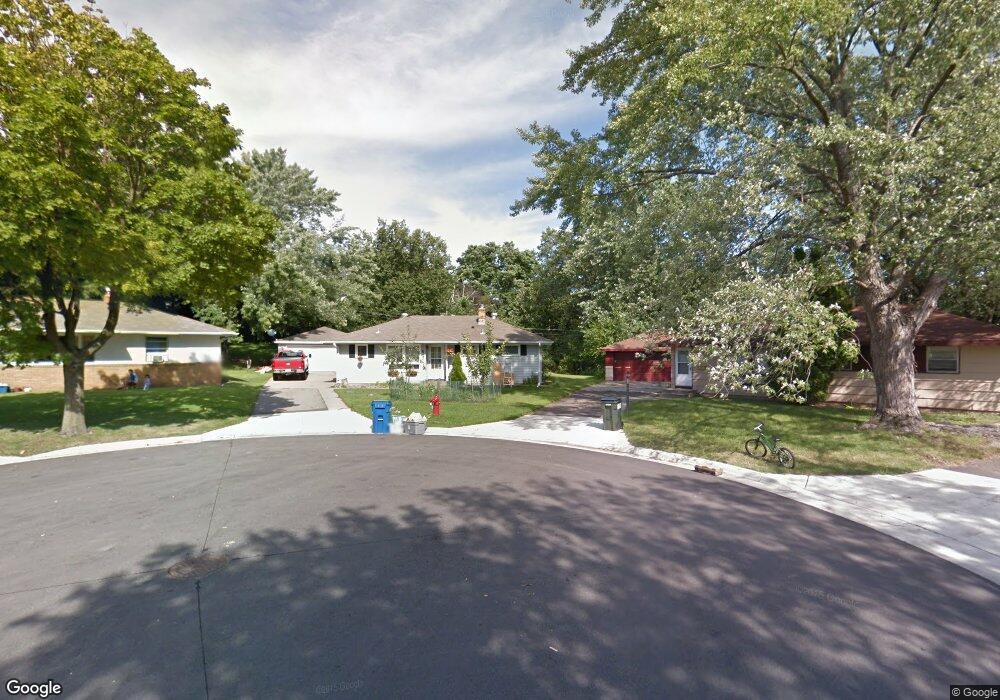
547 Hawthorne Ave W Saint Paul, MN 55117
North End NeighborhoodEstimated Value: $285,000 - $316,000
3
Beds
2
Baths
996
Sq Ft
$303/Sq Ft
Est. Value
About This Home
This home is located at 547 Hawthorne Ave W, Saint Paul, MN 55117 and is currently estimated at $302,269, approximately $303 per square foot. 547 Hawthorne Ave W is a home located in Ramsey County with nearby schools including Como Park Elementary School, Murray Middle School, and Como Park Senior High School.
Ownership History
Date
Name
Owned For
Owner Type
Purchase Details
Closed on
Feb 6, 2015
Sold by
Comford Marian
Bought by
Dominguez Antonio N
Current Estimated Value
Purchase Details
Closed on
Jun 2, 2003
Sold by
Schoen Michael D and Yan Samol
Bought by
Dominguez Antonio
Purchase Details
Closed on
Sep 28, 2000
Sold by
Bowen Robert B and Bowen Marcia L
Bought by
Schoen Michael D and Yan Samol
Create a Home Valuation Report for This Property
The Home Valuation Report is an in-depth analysis detailing your home's value as well as a comparison with similar homes in the area
Home Values in the Area
Average Home Value in this Area
Purchase History
| Date | Buyer | Sale Price | Title Company |
|---|---|---|---|
| Dominguez Antonio N | $77,272 | North American Title Company | |
| Dominguez Antonio | $177,900 | -- | |
| Schoen Michael D | $129,900 | -- |
Source: Public Records
Tax History Compared to Growth
Tax History
| Year | Tax Paid | Tax Assessment Tax Assessment Total Assessment is a certain percentage of the fair market value that is determined by local assessors to be the total taxable value of land and additions on the property. | Land | Improvement |
|---|---|---|---|---|
| 2025 | $4,178 | $287,400 | $60,000 | $227,400 |
| 2023 | $4,178 | $252,600 | $60,000 | $192,600 |
| 2022 | $3,792 | $262,400 | $60,000 | $202,400 |
| 2021 | $3,612 | $218,100 | $60,000 | $158,100 |
| 2020 | $3,890 | $214,200 | $61,500 | $152,700 |
| 2019 | $3,370 | $215,400 | $61,500 | $153,900 |
| 2018 | $3,416 | $181,300 | $61,500 | $119,800 |
| 2017 | $3,126 | $188,000 | $61,500 | $126,500 |
| 2016 | $3,546 | $0 | $0 | $0 |
| 2015 | $3,652 | $196,500 | $61,500 | $135,000 |
| 2014 | $3,550 | $0 | $0 | $0 |
Source: Public Records
Map
Nearby Homes
- tbd MacKubin St
- 1165 Norton St
- 1176 Norton St
- 1175 Arundel St
- 1241 Maywood St
- 1342 Dale St N
- 1104 MacKubin St
- 1049 Kent St
- 1063 Dale St N
- 397 Cottage Ave W Unit 3
- 1083 Western Ave N
- 1110 Virginia St
- 408 Arlington Ave W
- 1040 Cumberland St
- 766 Maryland Ave W
- 1457 Arundel St
- 569 Hatch Ave
- 1464 Maywood St
- 705 Como Ave
- 1067 Farrington St
- 551 Hawthorne Ave W
- 528 & 530 Orange Ave W
- 546 Hawthorne Ave W
- 555 Hawthorne Ave W
- 534 Orange Ave W
- 540 Orange Ave W
- 550 Hawthorne Ave W
- 1240 Kent St
- 550 Orange Ave W
- 1224 Kent St
- 528 Orange Ave W
- 520 Orange Ave W
- 1218 Kent St
- 558 Orange Ave W
- 1212 Kent St
- 510 Orange Ave W
- 1265 1265 Schletti-Street-
- 1265 Schletti St
- 539 Orange Ave W
- 541 Orange Ave W