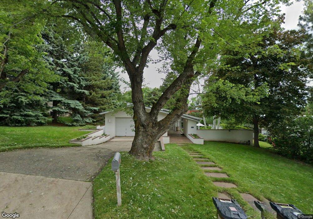
555 Euclid Ave Boulder, CO 80302
University Hill NeighborhoodEstimated Value: $2,182,714 - $3,007,000
3
Beds
3
Baths
2,173
Sq Ft
$1,157/Sq Ft
Est. Value
About This Home
This home is located at 555 Euclid Ave, Boulder, CO 80302 and is currently estimated at $2,514,429, approximately $1,157 per square foot. 555 Euclid Ave is a home located in Boulder County with nearby schools including Flatirons Elementary School, Manhattan Middle School of the Arts & Academics, and Boulder High School.
Ownership History
Date
Name
Owned For
Owner Type
Purchase Details
Closed on
Jun 15, 1994
Sold by
Jefferies Carol B
Bought by
Rotunno Richard
Current Estimated Value
Home Financials for this Owner
Home Financials are based on the most recent Mortgage that was taken out on this home.
Original Mortgage
$325,200
Interest Rate
8.49%
Purchase Details
Closed on
Sep 24, 1993
Sold by
Oldham Kenneth R
Bought by
Jefferies Carol B
Purchase Details
Closed on
May 21, 1985
Bought by
Gray Rotunno Richard and Gray Gayl
Purchase Details
Closed on
Jan 24, 1983
Bought by
Gray Rotunno Richard and Gray Gayl
Create a Home Valuation Report for This Property
The Home Valuation Report is an in-depth analysis detailing your home's value as well as a comparison with similar homes in the area
Home Values in the Area
Average Home Value in this Area
Purchase History
| Date | Buyer | Sale Price | Title Company |
|---|---|---|---|
| Rotunno Richard | $627,500 | Commonwealth Land Title Ins | |
| Jefferies Carol B | $550,000 | -- | |
| Gray Rotunno Richard | -- | -- | |
| Gray Rotunno Richard | -- | -- |
Source: Public Records
Mortgage History
| Date | Status | Borrower | Loan Amount |
|---|---|---|---|
| Closed | Rotunno Richard | $325,200 |
Source: Public Records
Tax History Compared to Growth
Tax History
| Year | Tax Paid | Tax Assessment Tax Assessment Total Assessment is a certain percentage of the fair market value that is determined by local assessors to be the total taxable value of land and additions on the property. | Land | Improvement |
|---|---|---|---|---|
| 2025 | $13,452 | $153,619 | $127,594 | $26,025 |
| 2024 | $13,452 | $153,619 | $127,594 | $26,025 |
| 2023 | $13,218 | $159,762 | $131,642 | $31,805 |
| 2022 | $11,628 | $132,168 | $111,061 | $21,107 |
| 2021 | $11,088 | $135,972 | $114,257 | $21,715 |
| 2020 | $10,176 | $124,053 | $98,098 | $25,955 |
| 2019 | $10,020 | $124,053 | $98,098 | $25,955 |
| 2018 | $9,263 | $114,041 | $67,896 | $46,145 |
| 2017 | $8,973 | $126,079 | $75,063 | $51,016 |
| 2016 | $7,682 | $96,706 | $45,452 | $51,254 |
| 2015 | $7,275 | $83,230 | $44,417 | $38,813 |
| 2014 | $6,329 | $83,230 | $44,417 | $38,813 |
Source: Public Records
Map
Nearby Homes
- 505 Geneva Ave
- 1006 6th St
- 440 Christmas Tree Dr
- 1010 9th St
- 911 Lincoln Place
- 800 Grant Place
- 636 Marine St
- 972 Pleasant St
- 1628 4th St
- 1037 12th St
- 358 Arapahoe Ave Unit C
- 1200 College Ave Unit 123
- 944 Arapahoe Ave Unit A
- 757 12th St
- 1405 Broadway St Unit 102
- 780 Walnut St Unit A
- 845 14th St
- 650 12th St
- 620 Pearl St Unit C
- 377 Pearl St Unit 5