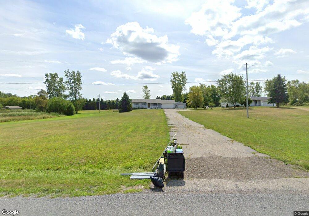
5555 Plains Rd Eaton Rapids, MI 48827
Estimated Value: $218,080 - $275,000
3
Beds
2
Baths
1,092
Sq Ft
$223/Sq Ft
Est. Value
About This Home
This home is located at 5555 Plains Rd, Eaton Rapids, MI 48827 and is currently estimated at $243,270, approximately $222 per square foot. 5555 Plains Rd is a home located in Ingham County with nearby schools including Lockwood Elementary School, Greyhound Intermediate School, and Eaton Rapids Middle School.
Ownership History
Date
Name
Owned For
Owner Type
Purchase Details
Closed on
Aug 20, 2007
Sold by
Mott Eugene and Mott Ruby F
Bought by
Warner Matthew J and Warner Stephanie L
Current Estimated Value
Home Financials for this Owner
Home Financials are based on the most recent Mortgage that was taken out on this home.
Original Mortgage
$151,635
Outstanding Balance
$96,302
Interest Rate
6.72%
Mortgage Type
FHA
Estimated Equity
$146,968
Create a Home Valuation Report for This Property
The Home Valuation Report is an in-depth analysis detailing your home's value as well as a comparison with similar homes in the area
Home Values in the Area
Average Home Value in this Area
Purchase History
| Date | Buyer | Sale Price | Title Company |
|---|---|---|---|
| Warner Matthew J | $154,000 | The Talon Group |
Source: Public Records
Mortgage History
| Date | Status | Borrower | Loan Amount |
|---|---|---|---|
| Open | Warner Matthew J | $151,635 |
Source: Public Records
Tax History Compared to Growth
Tax History
| Year | Tax Paid | Tax Assessment Tax Assessment Total Assessment is a certain percentage of the fair market value that is determined by local assessors to be the total taxable value of land and additions on the property. | Land | Improvement |
|---|---|---|---|---|
| 2025 | $2,849 | $114,400 | $16,100 | $98,300 |
| 2024 | $2,628 | $113,400 | $16,100 | $97,300 |
| 2023 | $2,416 | $100,300 | $15,400 | $84,900 |
| 2022 | $2,416 | $89,100 | $16,400 | $72,700 |
| 2021 | $2,371 | $90,400 | $0 | $0 |
| 2020 | $2,316 | $86,400 | $0 | $0 |
| 2019 | $2,229 | $76,000 | $15,200 | $60,800 |
| 2018 | $2,203 | $67,500 | $15,200 | $52,300 |
| 2017 | $2,114 | $67,500 | $15,200 | $52,300 |
| 2016 | -- | $63,600 | $16,800 | $46,800 |
| 2015 | -- | $61,400 | $29,435 | $31,965 |
| 2014 | -- | $59,500 | $20,090 | $39,410 |
Source: Public Records
Map
Nearby Homes
- 2475 S Onondaga Rd
- 2391 S Onondaga Rd
- 2511 Gould Rd
- Vl Gale Rd
- S Gale Rd
- 0 Ferris Unit 290887
- 6042 W Plains Rd
- 2093 Gale Rd
- 5906 W Barnes Rd
- 4662 W Barnes Rd
- 2787 Aurelius Rd
- 3020 Aurelius Rd
- 1953 S Aurelius Rd
- 5754 Kinneville Rd
- 0 Bond Rd Unit 291019
- 10802 Plains Rd
- 6280 Kinneville Rd
- 2583 S Edgar Rd
- 0 S Edgar Rd Lot I
- 2318 Arch Rd
- 5575 Plains Rd
- 2552 Onondaga Rd
- 2524 Onondaga Rd
- 5911 Plains Rd
- 2492 Onondaga Rd
- 2576 Onondaga Rd
- 2475 Onondaga Rd
- 5612 W Plains Rd
- 5615 W Plains Rd
- 2598 Onondaga Rd
- 2598 Onondaga Rd
- 5460 Plains Rd
- 2646 Onondaga Rd
- 5620 W Plains Rd
- 5462 W Plains Rd
- 2391 Onondaga Rd
- 2397 Onondaga Rd
- 5660 W Plains Rd
- 2373 Onondaga Rd