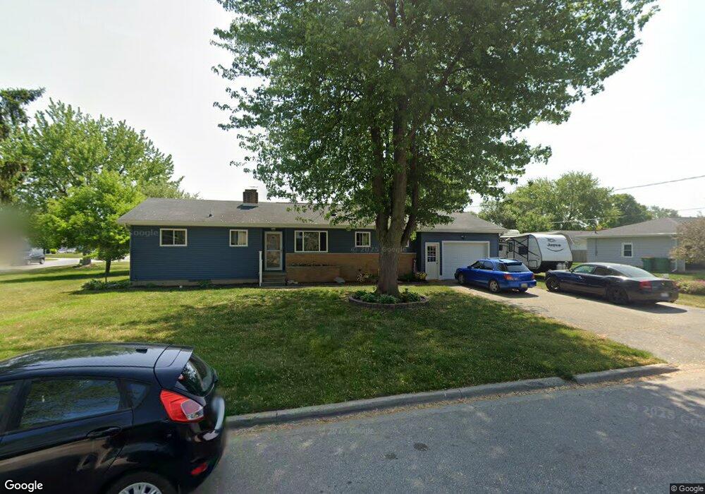
5583 Michael Dr Bay City, MI 48706
Estimated Value: $171,451 - $207,000
3
Beds
2
Baths
1,308
Sq Ft
$150/Sq Ft
Est. Value
About This Home
This home is located at 5583 Michael Dr, Bay City, MI 48706 and is currently estimated at $196,613, approximately $150 per square foot. 5583 Michael Dr is a home located in Bay County with nearby schools including Mackensen Elementary School, Western Middle School, and Bay City Western High School.
Ownership History
Date
Name
Owned For
Owner Type
Purchase Details
Closed on
Oct 16, 2018
Sold by
James Berthiaume Donald
Bought by
Donald J Berthiaume Trust
Current Estimated Value
Purchase Details
Closed on
Sep 10, 2004
Sold by
Adams Cletis J and Adams Evelyn
Bought by
Neophytou Neophytos and Neophytou Eva R
Home Financials for this Owner
Home Financials are based on the most recent Mortgage that was taken out on this home.
Original Mortgage
$84,000
Interest Rate
7%
Mortgage Type
Purchase Money Mortgage
Create a Home Valuation Report for This Property
The Home Valuation Report is an in-depth analysis detailing your home's value as well as a comparison with similar homes in the area
Home Values in the Area
Average Home Value in this Area
Purchase History
| Date | Buyer | Sale Price | Title Company |
|---|---|---|---|
| Donald J Berthiaume Trust | -- | None Listed On Document | |
| Neophytou Neophytos | $105,000 | Fatic |
Source: Public Records
Mortgage History
| Date | Status | Borrower | Loan Amount |
|---|---|---|---|
| Previous Owner | Neophytou Neophytos | $84,000 | |
| Closed | Neophytou Neophytos | $15,750 |
Source: Public Records
Tax History
| Year | Tax Paid | Tax Assessment Tax Assessment Total Assessment is a certain percentage of the fair market value that is determined by local assessors to be the total taxable value of land and additions on the property. | Land | Improvement |
|---|---|---|---|---|
| 2025 | $808 | $79,100 | $0 | $0 |
| 2024 | $785 | $74,600 | $0 | $0 |
| 2023 | $747 | $72,300 | $0 | $0 |
| 2022 | $1,878 | $54,500 | $0 | $0 |
| 2021 | $1,754 | $58,900 | $58,900 | $0 |
| 2020 | $1,756 | $53,000 | $53,000 | $0 |
| 2019 | $1,667 | $45,300 | $0 | $0 |
| 2018 | $1,721 | $50,600 | $0 | $0 |
| 2017 | $1,632 | $51,600 | $0 | $0 |
| 2016 | $1,637 | $50,200 | $0 | $50,200 |
| 2015 | $676 | $50,000 | $0 | $50,000 |
| 2014 | $676 | $50,900 | $0 | $50,900 |
Source: Public Records
Map
Nearby Homes
- 2900 Wayne Dr
- 5500 Michael Dr
- 5620 W Spring Knoll Dr
- 2984 Thunderbird Dr
- 5601 Meadow View Dr Unit 56
- 5452 Goetz Ct
- 40 Westside Saginaw Rd
- 0 3 Mile Rd
- 5273 Fairway Dr
- 5231 Parkway Dr
- 5115 Baxman Rd
- 3400 Fairway Dr
- 3345 Northway Dr
- 1901 S Mountain St
- 3052 E Fisher Rd
- 2777 E Fisher Rd
- 2491 E Meadow Dr
- 3118 E Fisher Rd
- 6025 E Meadow Dr
- 1305 S Euclid Ave
- 5595 Michael Dr
- 5576 Michael Dr
- 2922 Sharon Dr
- 5586 Michael Dr
- 2930 Sharon Dr
- 5594 Michael Dr
- 2921 Sharon Dr
- 2921 Noreen Dr
- 5566 Michael Dr
- 5563 Michael Dr
- 2929 Sharon Dr
- 2929 Noreen Dr
- 5602 Michael Dr
- 5558 Michael Dr
- 2939 Sharon Dr
- 2914 Noreen Dr
- 2922 Noreen Dr
- 5584 Noreen Dr
- 5600 Noreen Dr
- 5612 Michael Dr
Your Personal Tour Guide
Ask me questions while you tour the home.