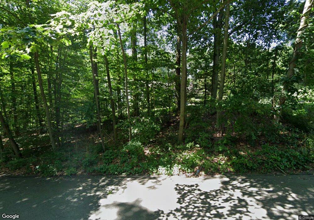
56 Coley Rd Wilton, CT 06897
Estimated Value: $660,000 - $1,121,000
2
Beds
3
Baths
2,455
Sq Ft
$392/Sq Ft
Est. Value
About This Home
This home is located at 56 Coley Rd, Wilton, CT 06897 and is currently estimated at $962,335, approximately $391 per square foot. 56 Coley Rd is a home located in Fairfield County with nearby schools including Miller-Driscoll School, Cider Mill School, and Middlebrook School.
Ownership History
Date
Name
Owned For
Owner Type
Purchase Details
Closed on
May 4, 2021
Sold by
Kopfmann Eugene R and Kopfmann Carol A
Bought by
Eugene R Kopfmann Ret
Current Estimated Value
Purchase Details
Closed on
Feb 24, 1992
Sold by
Manek Ernest
Bought by
Kopfman Eugene R and Kopfman Carol A
Home Financials for this Owner
Home Financials are based on the most recent Mortgage that was taken out on this home.
Original Mortgage
$180,000
Interest Rate
8.19%
Mortgage Type
Unknown
Create a Home Valuation Report for This Property
The Home Valuation Report is an in-depth analysis detailing your home's value as well as a comparison with similar homes in the area
Home Values in the Area
Average Home Value in this Area
Purchase History
| Date | Buyer | Sale Price | Title Company |
|---|---|---|---|
| Eugene R Kopfmann Ret | -- | None Available | |
| Kopfman Eugene R | $137,500 | -- |
Source: Public Records
Mortgage History
| Date | Status | Borrower | Loan Amount |
|---|---|---|---|
| Previous Owner | Kopfman Eugene R | $158,022 | |
| Previous Owner | Kopfman Eugene R | $161,120 | |
| Previous Owner | Kopfman Eugene R | $175,190 | |
| Previous Owner | Kopfman Eugene R | $180,000 |
Source: Public Records
Tax History Compared to Growth
Tax History
| Year | Tax Paid | Tax Assessment Tax Assessment Total Assessment is a certain percentage of the fair market value that is determined by local assessors to be the total taxable value of land and additions on the property. | Land | Improvement |
|---|---|---|---|---|
| 2025 | $14,112 | $578,130 | $306,110 | $272,020 |
| 2024 | $13,840 | $578,130 | $306,110 | $272,020 |
| 2023 | $11,984 | $409,570 | $292,740 | $116,830 |
| 2022 | $11,562 | $409,570 | $292,740 | $116,830 |
| 2021 | $11,415 | $409,570 | $292,740 | $116,830 |
| 2020 | $11,247 | $409,570 | $292,740 | $116,830 |
| 2019 | $11,689 | $409,570 | $292,740 | $116,830 |
| 2018 | $11,532 | $409,080 | $308,000 | $101,080 |
| 2017 | $11,360 | $409,080 | $308,000 | $101,080 |
| 2016 | $11,184 | $409,080 | $308,000 | $101,080 |
| 2015 | $10,976 | $409,080 | $308,000 | $101,080 |
| 2014 | $10,845 | $409,080 | $308,000 | $101,080 |
Source: Public Records
Map
Nearby Homes
- 30 Coley Rd
- 185 Sturges Ridge Rd
- 41 Calvin Rd
- 335 Georgetown Rd
- 55 Liberty St
- 76 Sturges Ridge Rd
- 326 Georgetown Rd
- 4 Trails End Rd
- 30 Black Alder Ln
- 15 Mountain View Dr
- 193 Newtown Turnpike
- 33 Cannon Rd
- 8 Hedgerow Common
- 28 Old Orchard Dr
- 81 Norfield Rd
- 76 Lords Hwy
- 29 Salem Rd
- 27 Rogues Ridge
- 110 Dudley Rd
- 38 Honey Hill Rd
