56 Curtis Ln Edgartown, MA 02539
Edgartown NeighborhoodEstimated Value: $1,278,699 - $1,487,000
3
Beds
2
Baths
1,148
Sq Ft
$1,227/Sq Ft
Est. Value
About This Home
This home is located at 56 Curtis Ln, Edgartown, MA 02539 and is currently estimated at $1,408,175, approximately $1,226 per square foot. 56 Curtis Ln is a home located in Dukes County with nearby schools including Edgartown Elementary School and Martha's Vineyard Regional High School.
Ownership History
Date
Name
Owned For
Owner Type
Purchase Details
Closed on
Dec 30, 2021
Sold by
Cetrulo Craig and Cetrulo Katherine
Bought by
56 Curtis Llc
Current Estimated Value
Purchase Details
Closed on
Sep 7, 2017
Sold by
Cetrulo Craig
Bought by
Cetrulo Craig and Cetrulo Katherine
Purchase Details
Closed on
Aug 7, 2014
Sold by
Cetrulo Kyle
Bought by
Cetrulo Craig
Purchase Details
Closed on
Apr 23, 2004
Sold by
Cetrulo Curtis L
Bought by
Cetrulo Craig and Cetrulo Kyle
Create a Home Valuation Report for This Property
The Home Valuation Report is an in-depth analysis detailing your home's value as well as a comparison with similar homes in the area
Home Values in the Area
Average Home Value in this Area
Purchase History
| Date | Buyer | Sale Price | Title Company |
|---|---|---|---|
| 56 Curtis Llc | -- | None Available | |
| Cetrulo Craig | -- | -- | |
| Cetrulo Craig | -- | -- | |
| Cetrulo Craig | -- | -- |
Source: Public Records
Mortgage History
| Date | Status | Borrower | Loan Amount |
|---|---|---|---|
| Previous Owner | Cetrulo Craig | $200,000 |
Source: Public Records
Tax History Compared to Growth
Tax History
| Year | Tax Paid | Tax Assessment Tax Assessment Total Assessment is a certain percentage of the fair market value that is determined by local assessors to be the total taxable value of land and additions on the property. | Land | Improvement |
|---|---|---|---|---|
| 2025 | $2,822 | $1,065,000 | $614,400 | $450,600 |
| 2024 | $2,656 | $1,041,400 | $614,400 | $427,000 |
| 2023 | $2,423 | $961,500 | $623,300 | $338,200 |
| 2022 | $2,206 | $727,900 | $496,100 | $231,800 |
| 2021 | $2,242 | $683,600 | $427,900 | $255,700 |
| 2020 | $1,934 | $577,400 | $393,200 | $184,200 |
| 2019 | $2,190 | $565,800 | $381,600 | $184,200 |
| 2018 | $1,827 | $487,200 | $342,700 | $144,500 |
| 2017 | $1,753 | $493,700 | $365,500 | $128,200 |
| 2016 | $1,625 | $448,900 | $331,300 | $117,600 |
| 2015 | $1,358 | $391,300 | $289,800 | $101,500 |
Source: Public Records
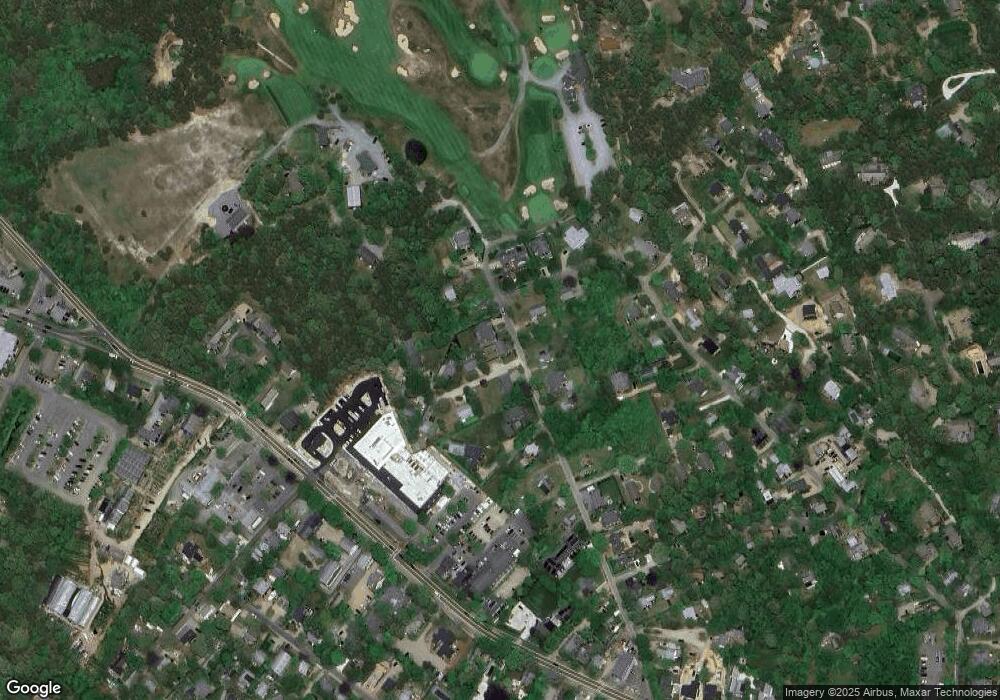
Map
Nearby Homes
- 7 Clark Dr
- 76 Norton Orchard Rd
- 26 Curtis Ln
- 2 Orchard Ln
- 23 Pinehurst Rd
- 48 Edgartown - West Tisbury Rd
- 48 W Tisbury Rd
- 14 Trapps Pond Rd
- 10 Dory Cir
- 10 Tilton Way
- 10 Peases Point Way N
- 1 Louis Field Rd
- 5 Louis Field Rd
- 5 Louis Field Rd Unit 121.3
- 43 Peases Point Way S
- 11 Norton St
- 43C Dark Woods Rd
- 69 School St
- 52 S Summer St
- 62 N Summer St