56 Mountain Brook Rd Livingston, MT 59047
Estimated Value: $765,016 - $1,079,000
3
Beds
2
Baths
1,620
Sq Ft
$558/Sq Ft
Est. Value
About This Home
This home is located at 56 Mountain Brook Rd, Livingston, MT 59047 and is currently estimated at $903,339, approximately $557 per square foot. 56 Mountain Brook Rd is a home located in Park County with nearby schools including B.A. Winans School, East Side School, and Sleeping Giant Middle School.
Ownership History
Date
Name
Owned For
Owner Type
Purchase Details
Closed on
Jan 1, 2000
Bought by
Morgan Jess Stovall and Stovall Catherine L
Current Estimated Value
Home Financials for this Owner
Home Financials are based on the most recent Mortgage that was taken out on this home.
Original Mortgage
$125,000
Outstanding Balance
$63,669
Interest Rate
7.68%
Mortgage Type
New Conventional
Estimated Equity
$839,670
Create a Home Valuation Report for This Property
The Home Valuation Report is an in-depth analysis detailing your home's value as well as a comparison with similar homes in the area
Home Values in the Area
Average Home Value in this Area
Purchase History
| Date | Buyer | Sale Price | Title Company |
|---|---|---|---|
| Morgan Jess Stovall | -- | -- |
Source: Public Records
Mortgage History
| Date | Status | Borrower | Loan Amount |
|---|---|---|---|
| Open | Morgan Jess Stovall | $125,000 | |
| Closed | Morgan Jess Stovall | $104,000 |
Source: Public Records
Tax History Compared to Growth
Tax History
| Year | Tax Paid | Tax Assessment Tax Assessment Total Assessment is a certain percentage of the fair market value that is determined by local assessors to be the total taxable value of land and additions on the property. | Land | Improvement |
|---|---|---|---|---|
| 2025 | $3,507 | $961,787 | $0 | $0 |
| 2024 | $2,874 | $506,803 | $0 | $0 |
| 2023 | $2,718 | $519,273 | $0 | $0 |
| 2022 | $2,701 | $399,342 | $0 | $0 |
| 2021 | $2,745 | $399,342 | $0 | $0 |
| 2020 | $2,580 | $344,769 | $0 | $0 |
| 2019 | $2,570 | $344,769 | $0 | $0 |
| 2018 | $2,191 | $270,413 | $0 | $0 |
| 2017 | $2,240 | $270,413 | $0 | $0 |
| 2016 | $2,168 | $268,476 | $0 | $0 |
| 2015 | $1,932 | $268,476 | $0 | $0 |
| 2014 | $1,946 | $151,573 | $0 | $0 |
Source: Public Records
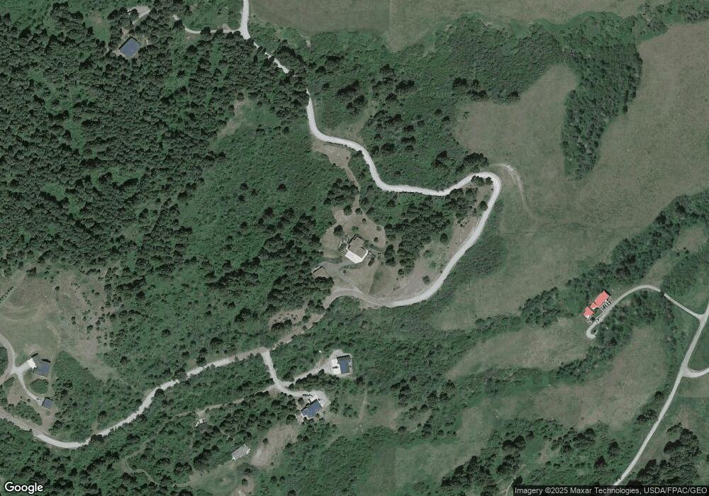
Map
Nearby Homes
- TBD Lupine Ln
- Lupine Ln
- Lot 4 Sunflower Ln
- Lot 9 Sunflower Ln
- 78 Lake Dr
- 20 ac Alpine Springs Trail
- 182 Elk Ridge Rd
- 198 Elk Ridge Rd
- 5 Muir Rd E
- 125 Rocky Mountain Meadows
- tbd Woodchuck
- 14 Sunflower Ln
- 107 Eldridge Creek Trail
- 3096 Woodchuck Rd
- 280 High Ridge Rd
- 1062 Johnny Martinez Trail
- 901 Scenic Trail Unit 17
- 449 Minni Hall Rd
- 189 Quinn Creek Rd
- 420 Colt Rd
- Lot 4 Mountain Brook Rd
- 65 Mountain Brook Rd
- 67 Mountain Brook Rd
- 88 Elk Ridge Rd
- 16 Mountain Brook Rd
- 90 Elk Ridge Rd
- 100 Mountain Brook Rd
- 2 Mountain Brook Rd
- 91 Mountain Brook Rd
- Lot 5-A Mountain Brook Rd
- 104 Mountain Brook Rd
- 87 Elk Ridge Rd
- 135 Mountain Brook Rd
- 94 Elk Ridge Rd
- 114 Mountain Brook Rd
- 116 Elk Ridge Rd
- 266 Us Highway 10 W
- Lot 7 Mountain Brook
- 90 Quinn Creek Rd
- 358 Us Highway 10 W