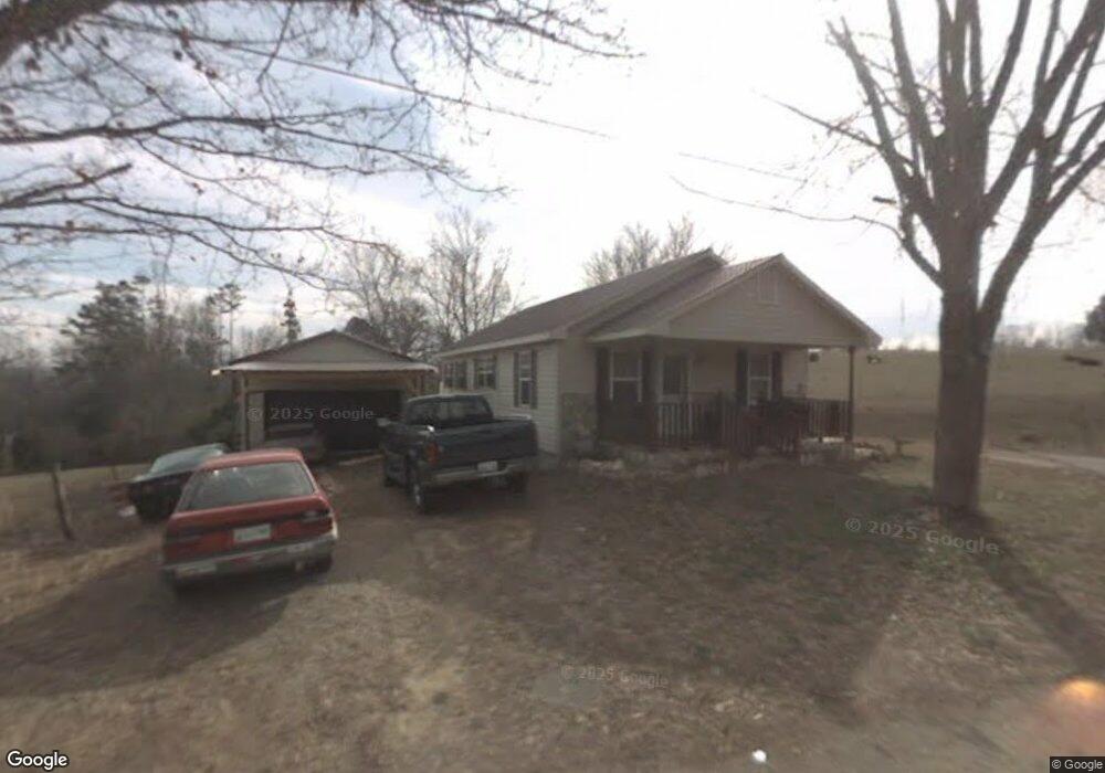
560 Anderson Loop Unit 1 Greeneville, TN 37743
Estimated Value: $130,000 - $202,000
2
Beds
1
Bath
1,440
Sq Ft
$116/Sq Ft
Est. Value
About This Home
This home is located at 560 Anderson Loop Unit 1, Greeneville, TN 37743 and is currently estimated at $167,324, approximately $116 per square foot. 560 Anderson Loop Unit 1 is a home located in Greene County with nearby schools including Mosheim Elementary School, West Greene Middle Schools, and West Greene High School.
Ownership History
Date
Name
Owned For
Owner Type
Purchase Details
Closed on
Nov 25, 2024
Sold by
Smith Christine
Bought by
Ward Whitney Nicole
Current Estimated Value
Home Financials for this Owner
Home Financials are based on the most recent Mortgage that was taken out on this home.
Original Mortgage
$169,288
Outstanding Balance
$166,491
Interest Rate
6.54%
Mortgage Type
FHA
Estimated Equity
$833
Purchase Details
Closed on
Dec 7, 2023
Sold by
Fontaine Sandra and Fontaine Eric
Bought by
Smith Christine
Purchase Details
Closed on
Dec 1, 2016
Sold by
Britton Robert Bobby Eugen
Bought by
Fontaine Sandra
Purchase Details
Closed on
Jan 16, 2004
Sold by
Dixon Elizabeth Brit
Bought by
Britton Robert R
Purchase Details
Closed on
Jul 9, 1993
Bought by
Dixon Elizabeth Britton
Purchase Details
Closed on
Jan 1, 1982
Bought by
Sharpe Rufus
Create a Home Valuation Report for This Property
The Home Valuation Report is an in-depth analysis detailing your home's value as well as a comparison with similar homes in the area
Purchase History
| Date | Buyer | Sale Price | Title Company |
|---|---|---|---|
| Ward Whitney Nicole | $172,412 | None Listed On Document | |
| Smith Christine | $84,000 | None Listed On Document | |
| Fontaine Sandra | $34,500 | -- | |
| Britton Robert R | $1,000 | -- | |
| Dixon Elizabeth Britton | $10,000 | -- | |
| Sharpe Rufus | $10,000 | -- |
Source: Public Records
Mortgage History
| Date | Status | Borrower | Loan Amount |
|---|---|---|---|
| Open | Ward Whitney Nicole | $169,288 |
Source: Public Records
Tax History
| Year | Tax Paid | Tax Assessment Tax Assessment Total Assessment is a certain percentage of the fair market value that is determined by local assessors to be the total taxable value of land and additions on the property. | Land | Improvement |
|---|---|---|---|---|
| 2025 | $261 | $28,000 | $1,250 | $26,750 |
| 2024 | $261 | $15,825 | $1,250 | $14,575 |
| 2023 | $305 | $16,000 | $0 | $0 |
| 2022 | $206 | $10,250 | $950 | $9,300 |
| 2021 | $206 | $10,250 | $950 | $9,300 |
| 2020 | $206 | $10,250 | $950 | $9,300 |
| 2019 | $206 | $10,250 | $950 | $9,300 |
| 2018 | $223 | $10,250 | $950 | $9,300 |
| 2017 | $220 | $11,175 | $950 | $10,225 |
| 2016 | $209 | $11,175 | $950 | $10,225 |
| 2015 | $209 | $11,175 | $950 | $10,225 |
| 2014 | $209 | $11,175 | $950 | $10,225 |
Source: Public Records
Map
Nearby Homes
- 2205 Brown Springs Rd
- 0 Wilkerson Rd Unit 22678949
- 0 Wilkerson Rd
- 2440 Mount Carmel Rd
- 3920 Brown Springs Rd
- 00 Cw Kite Ln
- 0 Cw Kite Ln Unit 9990077
- TBD W C Kite Ln
- 681 Grassy Creek Rd
- 0 Iris St E
- 315 Alpine Loop
- 390 Main St
- 925 Collins Rd
- 7958 Blue Springs Pkwy
- Tbd Wildwood Rd
- 995 Gilbreath Mill Rd
- 5875 Blue Springs Pkwy
- 541 Big Springs Dr
- 560 Main St
- 35 Windsor St
- 560 Anderson Loop
- 555 Anderson Loop
- 605 Anderson Loop
- 535 Anderson Loop
- 625 Anderson Loop
- 495 Anderson Loop
- 627 Anderson Loop
- 515 Anderson Loop
- 30 Colvert Rd
- 435 Anderson Loop
- 406 Anderson Loop
- 43 Colvert Rd
- 85 Colvert Rd
- Lot19 Anderson Loop
- 00 Anderson Loop
- TBD Anderson Loop
- Lot20 Anderson Loop
- 000 Anderson Loop
- 0 Anderson Loop
- 0 Anderson Loop
Your Personal Tour Guide
Ask me questions while you tour the home.