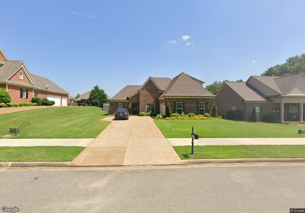
560 Breckenridge Dr Nesbit, MS 38651
Estimated Value: $357,844 - $387,000
4
Beds
--
Bath
2,536
Sq Ft
$148/Sq Ft
Est. Value
About This Home
This home is located at 560 Breckenridge Dr, Nesbit, MS 38651 and is currently estimated at $376,211, approximately $148 per square foot. 560 Breckenridge Dr is a home with nearby schools including Oak Grove Central Elementary School, Hernando Hills Elementary, and Hernando Elementary School.
Ownership History
Date
Name
Owned For
Owner Type
Purchase Details
Closed on
Nov 20, 2019
Sold by
Legacy New Homes Llc
Bought by
Vickery Malcolm R and Vickery Jackie
Current Estimated Value
Home Financials for this Owner
Home Financials are based on the most recent Mortgage that was taken out on this home.
Original Mortgage
$199,120
Outstanding Balance
$175,522
Interest Rate
3.7%
Mortgage Type
New Conventional
Estimated Equity
$200,689
Create a Home Valuation Report for This Property
The Home Valuation Report is an in-depth analysis detailing your home's value as well as a comparison with similar homes in the area
Home Values in the Area
Average Home Value in this Area
Purchase History
| Date | Buyer | Sale Price | Title Company |
|---|---|---|---|
| Vickery Malcolm R | -- | None Available |
Source: Public Records
Mortgage History
| Date | Status | Borrower | Loan Amount |
|---|---|---|---|
| Open | Vickery Malcolm R | $199,120 |
Source: Public Records
Tax History Compared to Growth
Tax History
| Year | Tax Paid | Tax Assessment Tax Assessment Total Assessment is a certain percentage of the fair market value that is determined by local assessors to be the total taxable value of land and additions on the property. | Land | Improvement |
|---|---|---|---|---|
| 2024 | $1,489 | $18,233 | $4,000 | $14,233 |
| 2023 | $1,489 | $18,233 | $0 | $0 |
| 2022 | $1,489 | $18,233 | $4,000 | $14,233 |
| 2021 | $1,489 | $18,233 | $4,000 | $14,233 |
| 2020 | $1,489 | $18,233 | $4,000 | $14,233 |
| 2019 | $624 | $4,500 | $4,500 | $0 |
| 2017 | $628 | $4,500 | $4,500 | $0 |
| 2016 | $601 | $4,500 | $4,500 | $0 |
| 2015 | $601 | $4,500 | $4,500 | $0 |
| 2014 | $587 | $4,500 | $0 | $0 |
| 2013 | $783 | $4,500 | $0 | $0 |
Source: Public Records
Map
Nearby Homes
- 001 S Old Hwy 51
- 0 Highway 51 Unit 2319030
- 1738 Winningham Dr
- 555 Emma Cove
- 1781 Benton Dr
- 00 S Old Hwy 51
- 0 Old Highway 51 N Unit 4070480
- 1620 Gwynn Rd
- 915 Collie Dr
- 885 Collie Dr
- 894 Collie Dr
- 939 Collie Dr
- 951 Collie Dr
- 932 Collie Dr
- 944 Collie Dr
- 956 Collie Dr
- 864 Andys Way
- 896 Andys Way
- 1009 Collie Dr
- 1320 Wooten Rd
- 560 Breckenridge Dr
- 576 Breckenridge Dr
- 544 Breckenridge Dr
- 559 Benton Dr
- 573 Benton Dr
- 543 Benton Dr
- 594 Breckenridge Dr
- 553 E Breckenridge Dr
- 1573 Breckenridge Dr
- 587 Benton Dr
- 553 Breckenridge Dr
- 582 Benton
- 612 Breckenridge Dr
- 605 Benton Dr
- 536 Benton Dr
- 552 Benton Dr
- 566 Benton Dr
- 566 Benton Dr
- 619 Benton Dr
- 582 Benton Dr